world.wikisort.org - USA
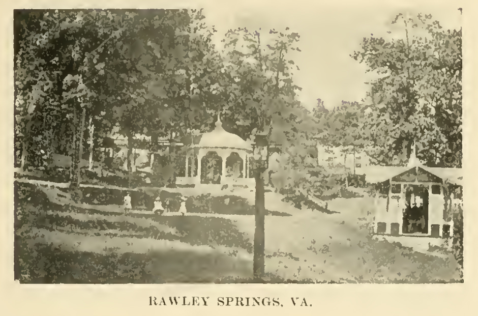
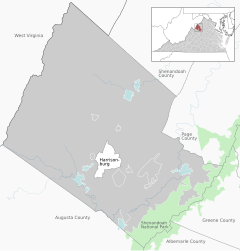
Rawley Springs is an unincorporated community located in Rockingham County, in the U.S. state of Virginia.
Rawley Springs | |
|---|---|
Unincorporated community | |
 Rawley Springs Location in Virginia  Rawley Springs Rawley Springs (the United States) | |
| Coordinates: 38°30′19″N 79°3′23″W | |
| Country | |
| State | Virginia |
| County | Rockingham County |
Geography
It is located nine miles west of Harrisonburg, north of Clover Hill, along U.S. Route 33, near the George Washington National Forest.[1][2] It lies on the Dry River and is situated on the southern slope of the North Mountain.[1]
Rawley Springs
Location of Rawley Springs within the Rockingham County
References
- Moorman, John Jennings (1859). The Virginia springs, and springs of the South and West. J.B. Lippincott & co. p. 298. Retrieved 26 January 2011.
- Google Maps (Map). Google.
| Wikimedia Commons has media related to Rawley Springs, Virginia. |
Municipalities and communities of Rockingham County, Virginia, United States | ||
|---|---|---|
County seat: Harrisonburg | ||
| Towns |  | |
| CDPs | ||
| Other communities |
| |
| Footnotes | ‡This populated place also has portions in an adjacent county or counties | |
| ||
This Rockingham County, Virginia state location article is a stub. You can help Wikipedia by expanding it. |
Текст в блоке "Читать" взят с сайта "Википедия" и доступен по лицензии Creative Commons Attribution-ShareAlike; в отдельных случаях могут действовать дополнительные условия.
Другой контент может иметь иную лицензию. Перед использованием материалов сайта WikiSort.org внимательно изучите правила лицензирования конкретных элементов наполнения сайта.
Другой контент может иметь иную лицензию. Перед использованием материалов сайта WikiSort.org внимательно изучите правила лицензирования конкретных элементов наполнения сайта.
2019-2026
WikiSort.org - проект по пересортировке и дополнению контента Википедии
WikiSort.org - проект по пересортировке и дополнению контента Википедии