world.wikisort.org - USA
Pleasant Plain is a city in northeast Penn Township, Jefferson County, Iowa, United States. At the time of the 2020 census, the population was 84.[2]
Pleasant Plain, Iowa | |
|---|---|
City | |
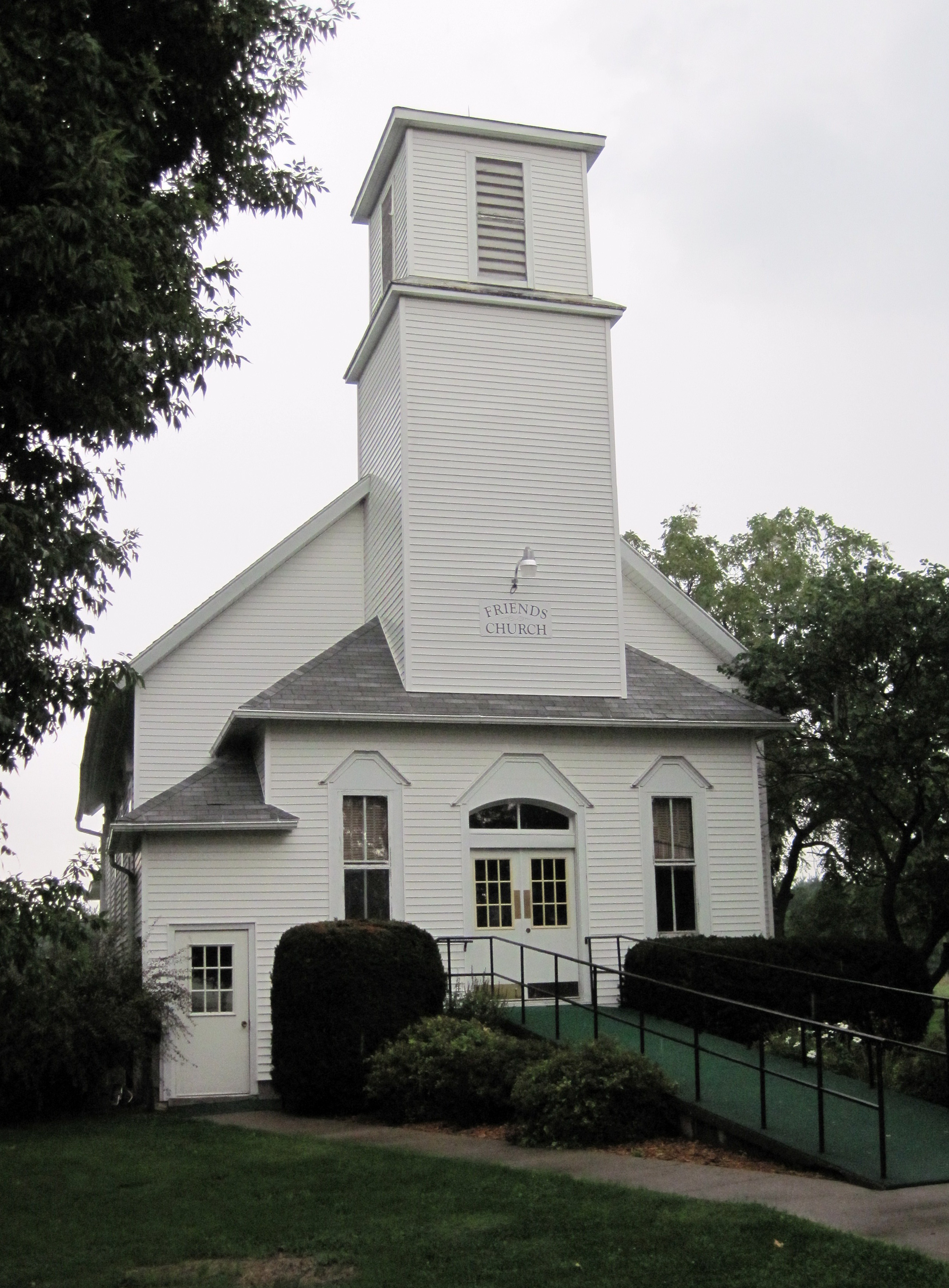 Friends Church | |
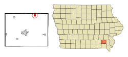 Location of Pleasant Plain, Iowa | |
| Coordinates: 41°8′45″N 91°51′34″W | |
| Country | |
| State | |
| County | Jefferson |
| Area | |
| • Total | 1.01 sq mi (2.62 km2) |
| • Land | 1.01 sq mi (2.62 km2) |
| • Water | 0.00 sq mi (0.00 km2) |
| Elevation | 751 ft (229 m) |
| Population (2020) | |
| • Total | 84 |
| • Density | 82.92/sq mi (32.02/km2) |
| Time zone | UTC-6 (Central (CST)) |
| • Summer (DST) | UTC-5 (CDT) |
| FIPS code | 19-63615 |
| GNIS feature ID | 0460275 |
Geography
Pleasant Plain is located at 41°8′45″N 91°51′34″W (41.145784, -91.859581).[3]
According to the United States Census Bureau, the city has a total area of 1.02 square miles (2.64 km2), all land.[4]
Demographics
| Year | Pop. | ±% |
|---|---|---|
| 1900 | 280 | — |
| 1910 | 174 | −37.9% |
| 1920 | 164 | −5.7% |
| 1930 | 175 | +6.7% |
| 1940 | 171 | −2.3% |
| 1950 | 148 | −13.5% |
| 1960 | 147 | −0.7% |
| 1970 | 121 | −17.7% |
| 1980 | 144 | +19.0% |
| 1990 | 128 | −11.1% |
| 2000 | 131 | +2.3% |
| 2010 | 93 | −29.0% |
| 2020 | 84 | −9.7% |
| Source:"U.S. Census website". United States Census Bureau. Retrieved 2020-03-29. and Iowa Data Center Source: | ||
2010 census
As of the census[6] of 2010, there were 93 people, 41 households, and 31 families living in the city. The population density was 91.2 inhabitants per square mile (35.2/km2). There were 47 housing units at an average density of 46.1 per square mile (17.8/km2). The racial makeup of the city was 100.0% White. Hispanic or Latino of any race were 1.1% of the population.
There were 41 households, of which 26.8% had children under the age of 18 living with them, 65.9% were married couples living together, 4.9% had a female householder with no husband present, 4.9% had a male householder with no wife present, and 24.4% were non-families. 24.4% of all households were made up of individuals, and 19.5% had someone living alone who was 65 years of age or older. The average household size was 2.27 and the average family size was 2.61.
The median age in the city was 45.5 years. 16.1% of residents were under the age of 18; 7.7% were between the ages of 18 and 24; 25.9% were from 25 to 44; 32.3% were from 45 to 64; and 18.3% were 65 years of age or older. The gender makeup of the city was 52.7% male and 47.3% female.
2000 census
As of the census[7] of 2000, there were 131 people, 52 households, and 39 families living in the city. The population density was 129.2 inhabitants per square mile (49.9/km2). There were 57 housing units at an average density of 56.2 per square mile (21.7/km2). The racial makeup of the city was 100.00% White.
There were 52 households, out of which 30.8% had children under the age of 18 living with them, 63.5% were married couples living together, 9.6% had a female householder with no husband present, and 25.0% were non-families. 19.2% of all households were made up of individuals, and 7.7% had someone living alone who was 65 years of age or older. The average household size was 2.52 and the average family size was 2.79.
In the city, the population was spread out, with 27.5% under the age of 18, 6.1% from 18 to 24, 30.5% from 25 to 44, 26.0% from 45 to 64, and 9.9% who were 65 years of age or older. The median age was 34 years. For every 100 females, there were 98.5 males. For every 100 females age 18 and over, there were 106.5 males.
The median income for a household in the city was $28,125, and the median income for a family was $31,250. Males had a median income of $26,750 versus $20,938 for females. The per capita income for the city was $14,282. There were 24.3% of families and 25.0% of the population living below the poverty line, including 50.0% of under eighteens and 20.0% of those over 64.
References
- "2020 U.S. Gazetteer Files". United States Census Bureau. Retrieved March 16, 2022.
- "2020 Census State Redistricting Data". census.gov. United states Census Bureau. Retrieved 12 August 2021.
- "US Gazetteer files: 2010, 2000, and 1990". United States Census Bureau. 2011-02-12. Retrieved 2011-04-23.
- "US Gazetteer files 2010". United States Census Bureau. Archived from the original on 2012-01-25. Retrieved 2012-05-11.
- "Census of Population and Housing". Census.gov. Retrieved June 4, 2015.
- "U.S. Census website". United States Census Bureau. Retrieved 2012-05-11.
- "U.S. Census website". United States Census Bureau. Retrieved 2008-01-31.
Municipalities and communities of Jefferson County, Iowa, United States | ||
|---|---|---|
County seat: Fairfield | ||
| Cities |  | |
| Townships |
| |
| Unincorporated communities | ||
| Footnotes | ‡This populated place also has portions in an adjacent county or counties | |
| ||
Authority control | |
|---|---|
| General |
|
| National libraries | |
Другой контент может иметь иную лицензию. Перед использованием материалов сайта WikiSort.org внимательно изучите правила лицензирования конкретных элементов наполнения сайта.
WikiSort.org - проект по пересортировке и дополнению контента Википедии