world.wikisort.org - USA
Panacea is an unincorporated community in Wakulla County, Florida, United States.[3]
Panacea, Florida | |
|---|---|
Unincorporated community | |
 | |
 Panacea, Florida Location in Wakulla County and the state of Florida. | |
| Coordinates: 30°01′53″N 84°23′37″W | |
| Country | United States |
| State | Florida |
| Counties | Wakulla |
| Founded | 1895[1] |
| Elevation | 7 ft (2 m) |
| Population (2017) | |
| • Total | 816[2] |
| Time zone | UTC-5 (EST) |
| • Summer (DST) | UTC-4 (EDT) |
| Website | www |
History
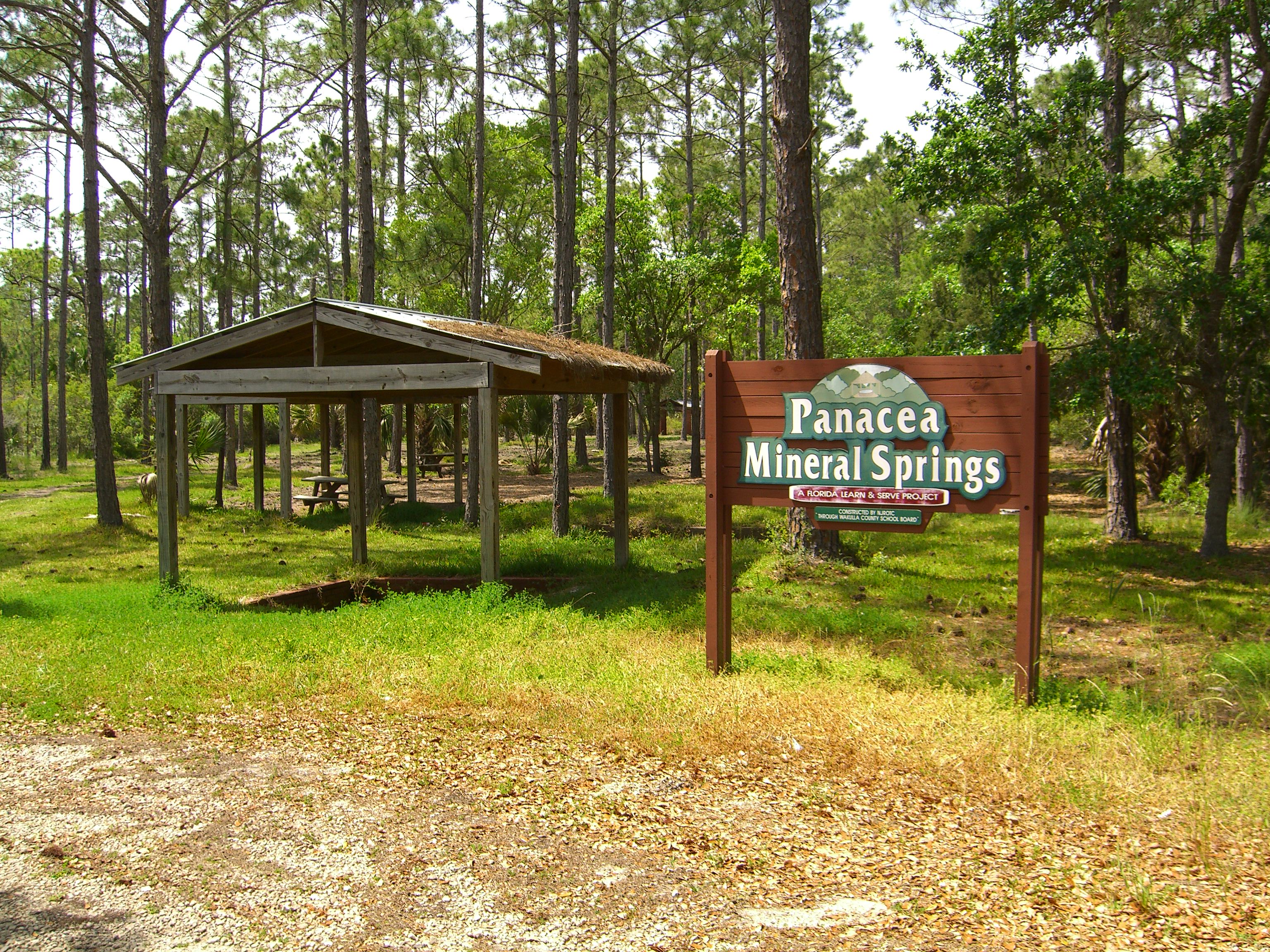
The community was known as Smith Springs until 1893 when some Bostonians purchased the land about the five springs here and renamed the town Panacea, after the goddess of universal remedy, because of the curative properties of the waters.[4][5] Most of the development in the area was destroyed by a hurricane in 1928.[6]
During the Civil War a large plant here supplied salt for much of western Florida.[7]
Demographics
2020 census
| Race | Number | Percentage |
|---|---|---|
| White (NH) | 695 | 94.56% |
| Black or African American (NH) | 9 | 1.22% |
| Native American or Alaska Native (NH) | 2 | 0.27% |
| Asian (NH) | 1 | 0.14% |
| Some Other Race (NH) | 1 | 0.14% |
| Mixed/Multi-Racial (NH) | 22 | 2.99% |
| Hispanic or Latino | 5 | 0.68% |
| Total | 735 |
As of the 2020 United States census, there were 735 people, 284 households, and 199 families residing in the CDP.
Transportation
The Wakulla County Airport is located approximately 3 miles (4.8 km) south of Panacea. It is the only airport in Wakulla County.[11]
References
- https://www.floridamemory.com/blog/tag/panacea/ [bare URL]
- "Current Panacea, Florida Population, Demographics and stats in 2020, 2019".
- "Panacea, Florida". Geographic Names Information System. United States Geological Survey, United States Department of the Interior.
- Federal Writers' Project (1939), Florida. A Guide to the Southernmost State, New York: Oxford University Press, p. 487
- Moyer, Armond; Moyer, Winifred (1958). The origins of unusual place-names. Keystone Pub. Associates. p. 97.
- "Panacea, FL - Panacea, Florida Map & Directions - MapQuest".
- Federal Writers' Project (1939), Florida. A Guide to the Southernmost State, New York: Oxford University Press, p. 487
- "Explore Census Data". data.census.gov. Retrieved 2022-05-18.
- http://www.census.gov [not specific enough to verify]
- "About the Hispanic Population and its Origin". www.census.gov. Retrieved 18 May 2022.
- Wakulla County Airport
External links
Wikimedia Commons has media related to Panacea, Florida.
Municipalities and communities of Wakulla County, Florida, United States | ||
|---|---|---|
County seat: Crawfordville | ||
| Cities |  | |
| CDPs | ||
| Unincorporated communities |
| |
| Ghost towns |
| |
| ||
Authority control | |
|---|---|
| General |
|
| National libraries | |
На других языках
[de] Panacea (Florida)
Panacea ist ein census-designated place (CDP) im Wakulla County im US-Bundesstaat Florida mit 816 Einwohnern (Stand: 2010).- [en] Panacea, Florida
Текст в блоке "Читать" взят с сайта "Википедия" и доступен по лицензии Creative Commons Attribution-ShareAlike; в отдельных случаях могут действовать дополнительные условия.
Другой контент может иметь иную лицензию. Перед использованием материалов сайта WikiSort.org внимательно изучите правила лицензирования конкретных элементов наполнения сайта.
Другой контент может иметь иную лицензию. Перед использованием материалов сайта WikiSort.org внимательно изучите правила лицензирования конкретных элементов наполнения сайта.
2019-2026
WikiSort.org - проект по пересортировке и дополнению контента Википедии
WikiSort.org - проект по пересортировке и дополнению контента Википедии