world.wikisort.org - USA
Mormon Bar is an unincorporated community in Mariposa County, California.[1] It is located 2 miles (3.2 km) south-southeast of Mariposa,[3] at an elevation of 1772 feet (540 m).[1] Mormon Bar is located near State Route 49.
Mormon Bar | |
|---|---|
Unincorporated community | |
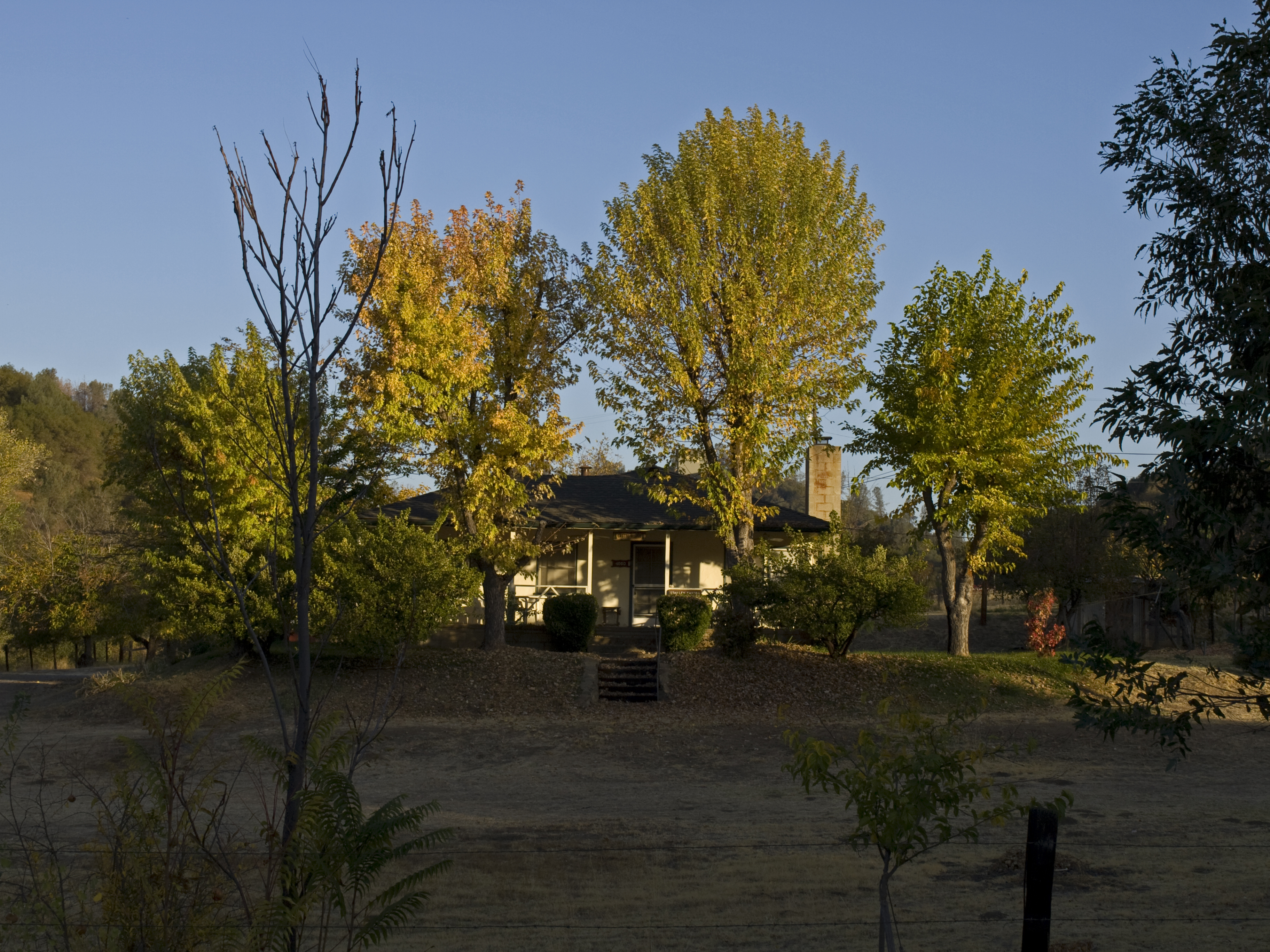
 A south view of Mormon Bar, c. between 1858 and 1860 | |
 Mormon Bar Location in California  Mormon Bar Mormon Bar (the United States) | |
| Coordinates: 37°27′44″N 119°56′53″W | |
| Country | |
| State | |
| County | Mariposa County |
| Elevation | 540 m (1,772 ft) |
California Historical Landmark | |
| Reference no. | 323[2] |
It was settled during the California Gold Rush. Mormons occupied the place during the winter of 1849/50.[3] It was first mined by veterans of the Mormon Battalion in 1849 after their discharge in 1847. They did not stay very long, and other miners came and occupied the site.
At one time there was a significant Chinese presence there.
Mormon Bar is California Historical Landmark #323.[2]
It is somewhat of a ghost town, and is listed on many maps and ghost town travel guides as such.
References
- U.S. Geological Survey Geographic Names Information System: Mormon Bar, California
- "Mormon Bar". Office of Historic Preservation, California State Parks. Retrieved 2012-10-09.
- Durham, David L. (1998). California's Geographic Names: A Gazetteer of Historic and Modern Names of the State. Clovis, Calif.: Word Dancer Press. p. 805. ISBN 1-884995-14-4.
External links
Municipalities and communities of Mariposa County, California, United States | ||
|---|---|---|
County seat: Mariposa | ||
| CDPs |
|  |
| Unincorporated communities |
| |
| Former settlements | ||
| ||
This Mariposa County, California–related article is a stub. You can help Wikipedia by expanding it. |
Другой контент может иметь иную лицензию. Перед использованием материалов сайта WikiSort.org внимательно изучите правила лицензирования конкретных элементов наполнения сайта.
WikiSort.org - проект по пересортировке и дополнению контента Википедии