world.wikisort.org - USA
Land o' Lakes is a census-designated place (CDP) in Pasco County, Florida, United States. Land o' Lakes is part of the Tampa-St. Petersburg-Clearwater, Florida MSA.
Land o' Lakes, Florida | |
|---|---|
Census-designated place | |
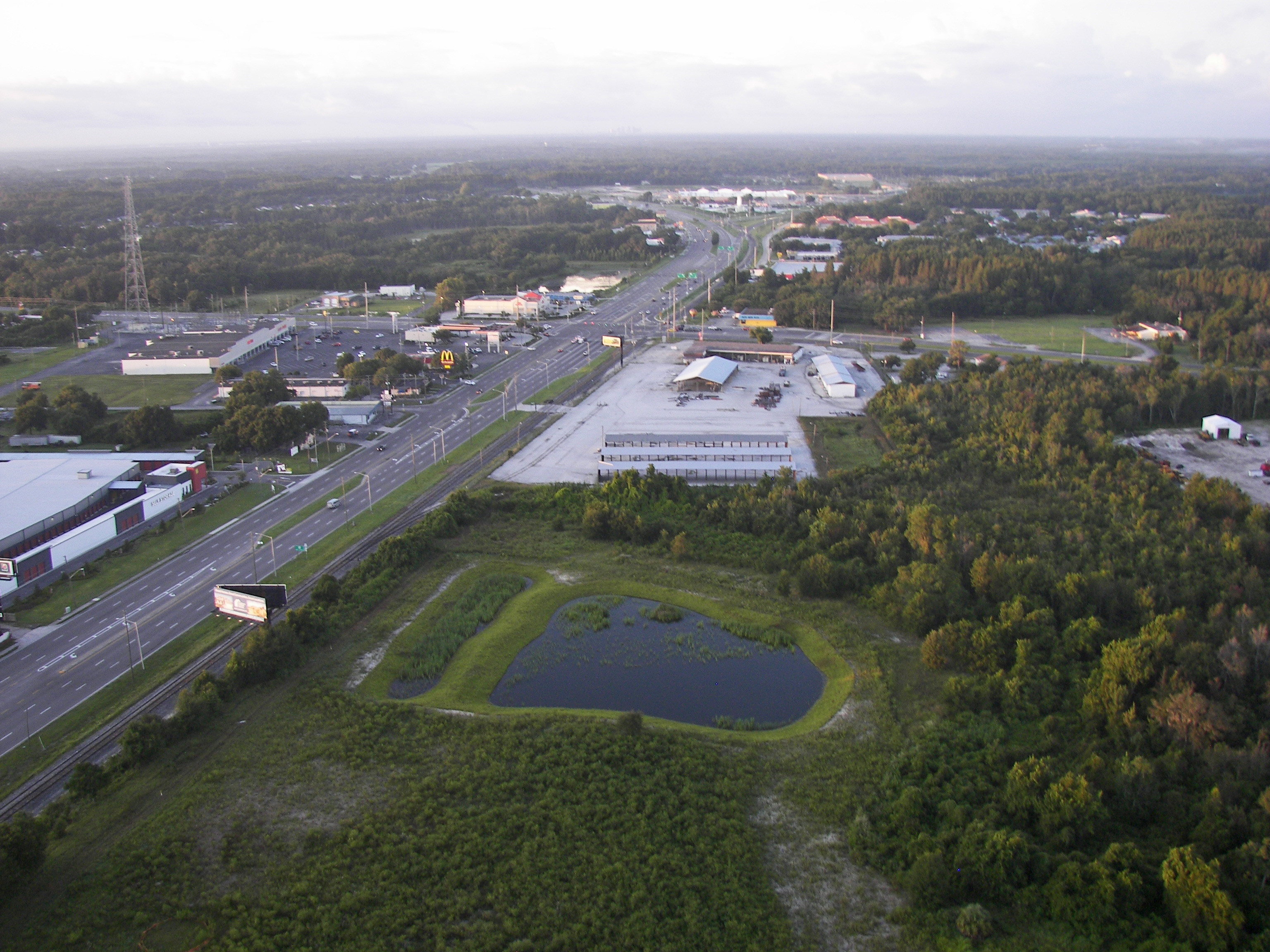 Intersection of U.S. Route 41 and State Road 54 | |
 Location in Pasco County and the state of Florida | |
| Coordinates: 28°12′14″N 82°26′56″W | |
| Country | United States |
| State | Florida |
| County | Pasco |
| Area | |
| • Census-designated place | 21.17 sq mi (54.82 km2) |
| • Land | 18.96 sq mi (49.10 km2) |
| • Water | 2.21 sq mi (5.72 km2) |
| Elevation | 75 ft (23 m) |
| Population (2020) | |
| • Census-designated place | 35,929 |
| • Density | 1,895.29/sq mi (731.78/km2) |
| • Metro | 3.8 million |
| Time zone | UTC-5 (Eastern (EST)) |
| • Summer (DST) | UTC-4 (EDT) |
| ZIP code | 34637, 34638, 34639 |
| Area code | 813 |
| FIPS code | 12-39200[2] |
| GNIS feature ID | 0294219[3] |
As of the 2010 census, the CDP population was 31,145.[4] The CDP grew rapidly during the 1990s, growing from 7,800 residents to 20,971 as new housing developments were built. Average annual income is higher than the rest of Florida.[5] The CDP had a population in 2007 of 30,400 residents.[6] The name Land o' Lakes was suggested at a community meeting in 1949. On September 1, 1950, the Ehren post office was renamed Land o' Lakes.
Dupree Gardens, one of Florida's original roadside tourist attractions, was located at Land o' Lakes (although the name Land o' Lakes was not yet in use).
Description
Land o' Lakes has been growing very rapidly in the past 10 to 20 years. Nearby former towns have been absorbed into Land o' Lakes such as Denham, Ehren, and Gowers Corner. New neighborhoods, shopping, and schools have been built. It is also a member of the Pasco County Library Cooperative with a library branch, the Land o' Lakes Branch Library, at 2818 Collier Parkway, Land o' Lakes, Florida 34639.
Demographics
| Historical population | |||
|---|---|---|---|
| Census | Pop. | %± | |
| 1980 | 4,515 | — | |
| 1990 | 7,892 | 74.8% | |
| 2000 | 20,971 | 165.7% | |
| 2010 | 31,996 | 52.6% | |
| 2020 | 35,929 | 12.3% | |
| source:[7] | |||
As of the census[2] of 2010, there were 31,145 people, 11,230 households, and 8,286 families residing in the CDP.[8] The population density was 1,126.5 inhabitants per square mile (434.9/km2). There were 8,257 housing units at an average density of 443.6 per square mile (171.3/km2). The racial makeup of the CDP was 86.9% White, 6.2% African American, 0.1% Native American, 3.4% Asian, 2.0% from other races, and 1.4% from two or more races. Hispanic or Latino of any race were 11.7% of the population.[9] The subdivision of Carpenter's Run was used for filming the 1990 film Edward Scissorhands.[10]
There were 11,230 households, out of which 37.4% had children under the age of 18 living with them, 62.5% were married couples living together, 6.3% had a female householder with no husband present, and 26.2% were non-families. 16.3% of all households were made up of individuals, and 5.1% had someone living alone who was 65 years of age or older. The average household size was 2.75 and the average family size was 3.20.
In the CDP, the population was spread out, with 24.7% under the age of 18, 5.7% from 18 to 24, 32.1% from 25 to 44, 25.0% from 45 to 64, and 11.4% who were 65 years of age or older. The median age was 37.7 years. For every 100 females, there were 98.3 males. For every 100 women age 18 and over, there were 95.3 men.
The median income for a household in the CDP was $72,500, and the median income for a family was $81,218. Males had a median income of $48,251 versus $37,753 for females. The per capita income for the CDP was $23,230. About 3.4% of families and 4.9% of the population were below the poverty line, including 5.1% of those under age 18 and 4.0% of those age 65 or over.
Major roads
 Suncoast Parkway runs north and south along the western edge of Land o' Lakes (actually closer to Odessa).
 U.S. Route 41 (Land o' Lakes Boulevard) is the main north-south road in Land o' Lakes as well as the rest of central Pasco County.
 SR 54 is the main east-west road that runs through southern Pasco County, from US 19 near Holiday to US 301 in Zephyrhills.
 SR 597 (Dale Mabry Highway)
 County Road 583 (Ehren Cutoff) runs northeast to southwest from US 41 to SR 52 in rural Pasco County.
- Collier Parkway
Culture
An honorary mayor position was established by area residents in 1968. The honorary mayor has no real political power and only has ceremonial duties.[11]
Education
Public district schools are operated by the Pasco County Schools.
High schools
- Land O Lakes High School
- Sunlake High School
Middle schools
- Pine View Middle School
- Charles S. Rushe Middle School
Elementary schools
- Lake Myrtle Elementary School
- Oakstead Elementary School
- Pine View Elementary School
- Denham Oaks Elementary School
- Connerton Elementary School
- Sanders Memorial Elementary School
- Bexley Elementary School
Charter schools
- Countryside Montessori
- Imagine School at Land O Lakes
- Classical Preparatory School
Private schools
- Academy at the Lakes
- Land O Lakes Christian School
- Center Academy Lutz
Notable companies
- Artix Entertainment
Points of interest
- Conner Preserve
- Cypress Creek Preserve
- Dupree Gardens (Historical marker and gate ruins)
References
- "2020 U.S. Gazetteer Files". United States Census Bureau. Retrieved October 31, 2021.
- "U.S. Census website". United States Census Bureau. Retrieved January 31, 2008.
- "US Board on Geographic Names". United States Geological Survey. October 25, 2007. Retrieved January 31, 2008.
- Bureau, U.S. Census. "American FactFinder - Community Facts". factfinder.census.gov. Archived from the original on February 16, 2020. Retrieved November 20, 2017.
- "Land o' Lakes, Florida (FL 33559, 34638) profile: population, maps, real estate, averages, homes, statistics, relocation, travel, jobs, hospitals, schools, crime, moving, houses, news, sex offenders". www.city-data.com.
- Money Magazine 2007 Archived April 3, 2010, at the Wayback Machine
- "CENSUS OF POPULATION AND HOUSING (1790-2000)". U.S. Census Bureau. Retrieved July 18, 2010.
- Bureau, U.S. Census. "American FactFinder - Results". factfinder.census.gov. Archived from the original on February 16, 2020. Retrieved November 10, 2011.
- Bureau, U.S. Census. "American FactFinder - Results". factfinder.census.gov. Archived from the original on February 16, 2020. Retrieved November 12, 2011.
- "Edward Scissorhands (1990)" – via www.imdb.com.
- Sullivan, Erin. "A mayor, but not actually mayoral." St. Petersburg Times. November 2, 2006. Retrieved on March 19, 2014.
External links
Municipalities and communities of Pasco County, Florida, United States | ||
|---|---|---|
County seat: Dade City | ||
| Cities |  | |
| Town | ||
| CDPs |
| |
| Unincorporated communities |
| |
| Ghost towns |
| |
| Footnotes | ‡This populated place also has portions in an adjacent county or counties | |
| ||
На других языках
[de] Land O’ Lakes
Land O’ Lakes ist ein census-designated place (CDP) im Pasco County im US-Bundesstaat Florida mit 35.929 Einwohnern (Stand: 2020).[1]- [en] Land o' Lakes, Florida
[ru] Ленд-о-Лейкс (Флорида)
Ленд-о-Лейкс (англ. Land O' Lakes) — статистически обособленная местность, расположенная в округе Паско (штат Флорида, США) с населением в 31 145 человек по статистическим данным переписи 2010 года.Другой контент может иметь иную лицензию. Перед использованием материалов сайта WikiSort.org внимательно изучите правила лицензирования конкретных элементов наполнения сайта.
WikiSort.org - проект по пересортировке и дополнению контента Википедии