world.wikisort.org - USA
Knob Lick is an unincorporated community in southern Saint Francois County, Missouri, United States.[2] It is located on Missouri Route DD, just east of U.S. Route 67, approximately eight miles south of Farmington.
Knob Lick, Missouri | |
|---|---|
Census-Designated Place | |
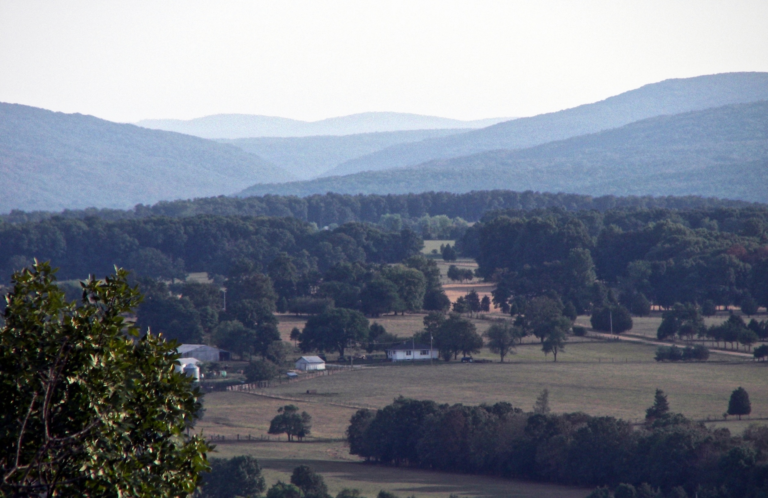 View from Knob Lick Mountain | |
 Location of Knob Lick in Missouri | |
| Country | United States |
| State | Missouri |
| County | Saint Francois |
| Area | |
| • Total | 0.99 sq mi (2.57 km2) |
| • Land | 0.99 sq mi (2.57 km2) |
| • Water | 0.00 sq mi (0.00 km2) |
| Elevation | 938 ft (286 m) |
| Population (2020) | |
| • Total | 147 |
| • Density | 147.89/sq mi (57.10/km2) |
| FIPS code | 29-39170 |
| GNIS feature ID | 756256[2] |
Knob Lick has a post office with zip code 63651,[3] which has been in operation since 1870.[4] The community takes its name from nearby Knob Lick Mountain. In the Ozarks, knob typically refers to an isolated summit, and lick is a natural "salt lick" or salt spring.[5][6] The mountain is across U.S. Route 67 from the town at 37.6645°N 90.3859°W. Eighty 80 acres (32 ha) of the summit are protected by the Missouri Department of Conservation. A gravel road leads to the conservation area which includes a granite glade, picnic facilities, and a closed fire lookout tower.[7]
Demographics
| Historical population | |||
|---|---|---|---|
| Census | Pop. | %± | |
| 2020 | 147 | — | |
| U.S. Decennial Census[8] | |||
Notable people
- Tom Bayless (born 1947), American football player (New York Jets)
References
- "ArcGIS REST Services Directory". United States Census Bureau. Retrieved September 5, 2022.
- U.S. Geological Survey Geographic Names Information System: Knob Lick, Missouri
- "ZIP code search". US Postal Service. Retrieved 2009-12-29.
- "Post Offices". Jim Forte Postal History. Retrieved 27 November 2016.
- "St. Francois County Place Names, 1928–1945". The State Historical Society of Missouri. Archived from the original on June 24, 2016. Retrieved November 27, 2016.
- Eaton, David Wolfe (1918). How Missouri Counties, Towns and Streams Were Named. The State Historical Society of Missouri. p. 358.
- "Knob Lick Towersite". Missouri Department of Conservation. Retrieved 2020-02-22.
- "Census of Population and Housing". Census.gov. Retrieved June 4, 2016.
External links
Municipalities and communities of Saint Francois County, Missouri, United States | ||
|---|---|---|
County seat: Farmington | ||
| Cities |  | |
| Townships |
| |
| CDPs | ||
| Other communities |
| |
| Ghost towns |
| |
| Footnotes | ‡This populated place also has portions in an adjacent county or counties | |
| ||
This Saint Francois County, Missouri state location article is a stub. You can help Wikipedia by expanding it. |
Другой контент может иметь иную лицензию. Перед использованием материалов сайта WikiSort.org внимательно изучите правила лицензирования конкретных элементов наполнения сайта.
WikiSort.org - проект по пересортировке и дополнению контента Википедии