world.wikisort.org - USA
Katy Township is one of ten townships in Boone County, Missouri, USA. It is the newest township formed in Boone County and its major city is the river town of Rocheport.
Katy Township | |
|---|---|
Township | |
 | |
| Coordinates: 38°58′42″N 92°28′31″W[1] | |
| Country | United States |
| State | Missouri |
| County | Boone |
| Area code(s) | 573 |
| GNIS Feature ID | 2045043 |
History
Settled mainly by settlers from the upland south (Kentucky, Virginia, and Tennessee), Katy Township was named after the Missouri-Kansas-Texas-Railway (MKT or Katy for short) which runs along the Missouri River on the township's western boundary.[2]
Geography
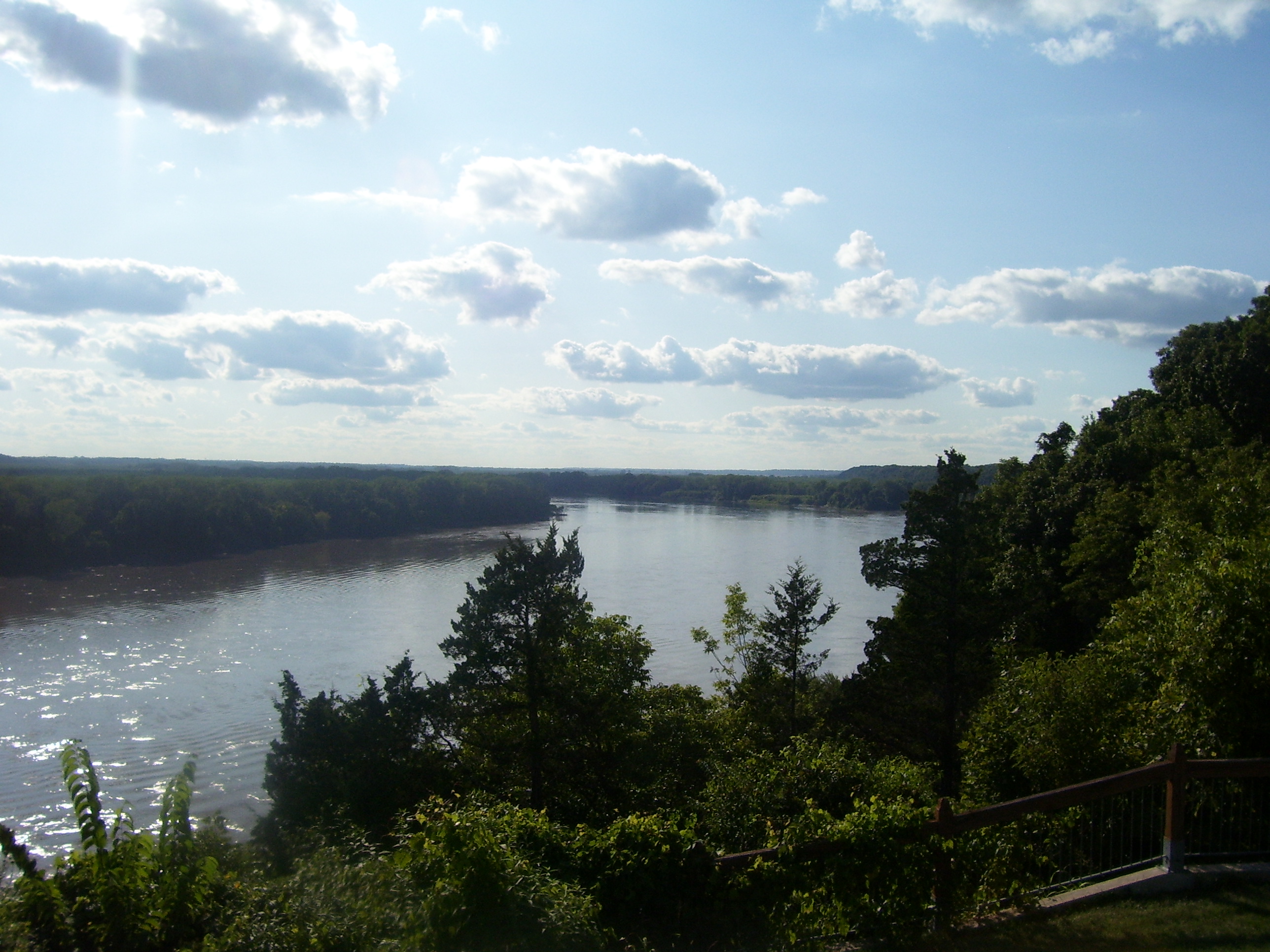
Katy Township covers an area in western Boone County and is located between the Missouri River and Roche Perche Creek. The township contains two incorporated settlements: Huntsdale, and Rocheport. The unincorporated community of Midway is along Interstate 70. The Katy Trail State Park travels under the Manitou Bluffs as it passes through the township. The Rocheport Cave Conservation Area and the associated karst features, including the largest sinkhole in Missouri are located atop these bluffs.
References
- "Township of Katy". Geographic Names Information System. United States Geological Survey. Retrieved 2014-01-22.
- http://www.showmeboone.com/commission/common/pdf/Commission_Civil_Township_Map.pdf Civil Township Map - Boone County, Missouri
External links
- City-Data.com[permanent dead link]
Municipalities and communities of Boone County, Missouri, United States | ||
|---|---|---|
County seat: Columbia | ||
| Cities |
|  |
| Villages |
| |
| Townships | ||
| Unincorporated communities |
| |
| Ghost towns |
| |
| Footnotes | ‡a small part of Centralia is in Audrain County | |
| ||
This Boone County, Missouri state location article is a stub. You can help Wikipedia by expanding it. |
Другой контент может иметь иную лицензию. Перед использованием материалов сайта WikiSort.org внимательно изучите правила лицензирования конкретных элементов наполнения сайта.
WikiSort.org - проект по пересортировке и дополнению контента Википедии