world.wikisort.org - USA
Hawley is a city in Jones County, Texas, United States. The population was 634 at the 2010 census.[5] Named for Congressman Robert B. Hawley, it is part of the Abilene metropolitan area.
Hawley, Texas | |
|---|---|
City | |
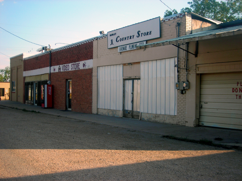 A row of businesses in Hawley | |
 Location of Hawley, Texas | |
 | |
| Coordinates: 32°36′43″N 99°48′48″W | |
| Country | United States |
| State | Texas |
| County | Jones |
| Area | |
| • Total | 2.94 sq mi (7.61 km2) |
| • Land | 2.93 sq mi (7.59 km2) |
| • Water | 0.01 sq mi (0.02 km2) |
| Elevation | 1,640 ft (500 m) |
| Population (2010) | |
| • Total | 634 |
| • Estimate (2019)[2] | 623 |
| • Density | 212.63/sq mi (82.09/km2) |
| Time zone | UTC-6 (Central (CST)) |
| • Summer (DST) | UTC-5 (CDT) |
| ZIP code | 79525 |
| Area code | 325 |
| FIPS code | 48-32840[3] |
| GNIS feature ID | 1337477[4] |
Geography
Hawley is located in southeastern Jones County at 32°36′43″N 99°48′48″W (32.612023, –99.813315).[6] U.S. Routes 83 and 277, running concurrently, pass through the southwest side of the city, leading northwest 11 miles (18 km) to Anson, the county seat, and southeast 13 miles (21 km) to Abilene.
According to the United States Census Bureau, Hawley has a total area of 2.9 square miles (7.6 km2), of which 0.01 square miles (0.02 km2), or 0.25%, is covered by water.[5] The Clear Fork of the Brazos River flows through the city, south of the center.
Demographics
| Historical population | |||
|---|---|---|---|
| Census | Pop. | %± | |
| 1980 | 679 | — | |
| 1990 | 606 | −10.8% | |
| 2000 | 646 | 6.6% | |
| 2010 | 634 | −1.9% | |
| 2019 (est.) | 623 | [2] | −1.7% |
| U.S. Decennial Census[7] | |||
2020 census
| Race | Number | Percentage |
|---|---|---|
| White (NH) | 479 | 87.89% |
| Black or African American (NH) | 2 | 0.37% |
| Native American or Alaska Native (NH) | 3 | 0.55% |
| Some Other Race (NH) | 3 | 0.55% |
| Mixed/Multi-Racial (NH) | 24 | 4.4% |
| Hispanic or Latino | 34 | 6.24% |
| Total | 545 |
As of the 2020 United States census, there were 545 people, 253 households, and 130 families residing in the city.
2000 census
As of the census[3] of 2000, 646 people, 239 households, and 184 families resided in the city. The population density was 219.7 people per square mile (84.8/km2). The 264 housing units averaged 89.8/sq mi (34.7/km2). The racial makeup of the city was 96.44% White, 0.15% African American, 0.93% Asian, 1.70% from other races, and 0.77% from two or more races. Hispanics or Latinos of any race were 4.18% of the population.
Of the 239 households, 39.3% had children under the age of 18 living with them, 63.6% were married couples living together, 9.2% had a female householder with no husband present, and 22.6% were not families. About 20.1% of all households were made up of individuals, and 10.9% had someone living alone who was 65 years of age or older. The average household size was 2.70 and the average family size was 3.11.
In the city, the population was distributed as 30.7% under the age of 18, 7.3% from 18 to 24, 28.5% from 25 to 44, 22.3% from 45 to 64, and 11.3% who were 65 years of age or older. The median age was 34 years. For every 100 females there were 96.4 males. For every 100 females age 18 and over, there were 94.8 males.
The median income for a household in the city was $31,771, and for a family was $36,625. Males had a median income of $25,893 versus $21,071 for females. The per capita income for the city was $14,879. About 9.3% of families and 13.0% of the population were below the poverty line, including 18.8% of those under age 18 and 15.9% of those age 65 or over.
Education
The city is served by the Hawley Independent School District.
Climate
The climate in this area is characterized by hot, dry summers and generally mild to cool winters. According to the Köppen climate classification system, Hawley has a humid subtropical climate, Cfa on climate maps.[11]
References
- "2019 U.S. Gazetteer Files". United States Census Bureau. Retrieved August 7, 2020.
- "Population and Housing Unit Estimates". United States Census Bureau. May 24, 2020. Retrieved May 27, 2020.
- "U.S. Census website". United States Census Bureau. Retrieved 2008-01-31.
- "US Board on Geographic Names". United States Geological Survey. 2007-10-25. Retrieved 2008-01-31.
- "Geographic Identifiers: 2010 Demographic Profile Data (G001): Hawley city, Texas". U.S. Census Bureau, American Factfinder. Retrieved December 27, 2018.[dead link]
- "US Gazetteer files: 2010, 2000, and 1990". United States Census Bureau. 2011-02-12. Retrieved 2011-04-23.
- "Census of Population and Housing". Census.gov. Retrieved June 4, 2015.
- "Explore Census Data". data.census.gov. Retrieved 2022-05-20.
- https://www.census.gov/ [not specific enough to verify]
- "About the Hispanic Population and its Origin". www.census.gov. Retrieved 18 May 2022.
- Climate Summary for Hawley, Texas
Municipalities and communities of Jones County, Texas, United States | ||
|---|---|---|
County seat: Anson | ||
| Cities |  | |
| Unincorporated communities | ||
| Footnotes | ‡This populated place also has portions in an adjacent county or counties | |
| ||
Другой контент может иметь иную лицензию. Перед использованием материалов сайта WikiSort.org внимательно изучите правила лицензирования конкретных элементов наполнения сайта.
WikiSort.org - проект по пересортировке и дополнению контента Википедии