world.wikisort.org - USA
Hasty is an unincorporated town, a post office, and a census-designated place (CDP) located in and governed by Bent County, Colorado, United States. The Hasty post office has the ZIP code 81044.[3] At the United States Census 2010, the population of the Hasty CDP was 144, while the population of the 81044 ZIP Code Tabulation Area was 224 including adjacent areas.[4]
Hasty, Colorado | |
|---|---|
Census Designated Place | |
 Hasty Post Office, May 2015 | |
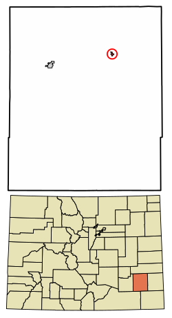 Location of the Hasty CDP in Bent County, Colorado. | |
 Hasty Location of the Hasty CDP in the United States. | |
| Coordinates: 38°06′00″N 102°57′50″W[1] | |
| Country | |
| State | |
| County | Bent County |
| Government | |
| • Type | unincorporated community |
| Area | |
| • Total | 2.754 sq mi (7.132 km2) |
| • Land | 2.753 sq mi (7.131 km2) |
| • Water | 0.0002 sq mi (0.0006 km2) |
| Elevation | 3,898 ft (1,188 m) |
| Population (2010) | |
| • Total | 144 |
| • Density | 52/sq mi (20/km2) |
| Time zone | UTC-7 (MST) |
| • Summer (DST) | UTC-6 (MDT) |
| ZIP Code[3] | 81044 |
| Area code(s) | 719 |
| GNIS feature[2] | Hasty CDP |
History
The Hasty post office has been in operation since 1910.[5] The community was named after Lon Hasty, a pioneer settler.[6]
Geography
Hasty is located in northeast Bent County at 38°06′45″N 102°57′26″W (38.112410,-102.957344), just north of the dam for John Martin Reservoir on the Arkansas River. U.S. Highway 50 passes through the community, leading west 16 miles (26 km) to Las Animas, the county seat, and east 20 miles (32 km) to Lamar.
The Hasty CDP has an area of 1,762 acres (7.132 km2), including 0.25 acres (0.001 km2) of water.[1]
Demographics
The United States Census Bureau initially defined the Hasty CDP for the United States Census 2010.
| Year | Pop. | ±% |
|---|---|---|
| 2010 | 144 | — |
| 2020 | — | |
| Source: United States Census Bureau | ||
See also
- Outline of Colorado
- Index of Colorado-related articles
- State of Colorado
- Colorado cities and towns
- Colorado census designated places
- Colorado counties
- Colorado cities and towns
References
- "State of Colorado Census Designated Places - BAS20 - Data as of January 1, 2020". United States Census Bureau. Retrieved December 7, 2020.
- "U.S. Board on Geographic Names: Domestic Names". United States Geological Survey. Retrieved December 7, 2020.
- "Look Up a ZIP Code". United States Postal Service. Retrieved December 7, 2020.
- "2010: DEC Summary File 1". United States Census Bureau. Retrieved December 20, 2020.
- "Post offices". Jim Forte Postal History. Retrieved 27 June 2016.
- Dawson, John Frank. Place names in Colorado: why 700 communities were so named, 150 of Spanish or Indian origin. Denver, CO: The J. Frank Dawson Publishing Co. p. 26.
External links
 Definitions from Wiktionary
 Media from Commons
 News from Wikinews
 Quotations from Wikiquote
 Texts from Wikisource
 Textbooks from Wikibooks
 Resources from Wikiversity
Municipalities and communities of Bent County, Colorado, United States | ||
|---|---|---|
County seat: Las Animas | ||
| City |
|  |
| CDPs | ||
| Unincorporated communities | ||
| Ghost town |
| |
| Footnotes | ‡This populated place also has portions in an adjacent county or counties | |
| ||
Другой контент может иметь иную лицензию. Перед использованием материалов сайта WikiSort.org внимательно изучите правила лицензирования конкретных элементов наполнения сайта.
WikiSort.org - проект по пересортировке и дополнению контента Википедии