world.wikisort.org - USA
Harrison Township is one of nine townships in Spencer County, Indiana. As of the 2010 census, its population was 2,000 and it contained 770 housing units.[3] Because of the presence of the St. Meinrad Archabbey, the Roman Catholic parishes in this township are under the jurisdiction of the Archdiocese of Indianapolis and not the Diocese of Evansville with the rest of Spencer County.
Harrison Township | |
|---|---|
Township | |
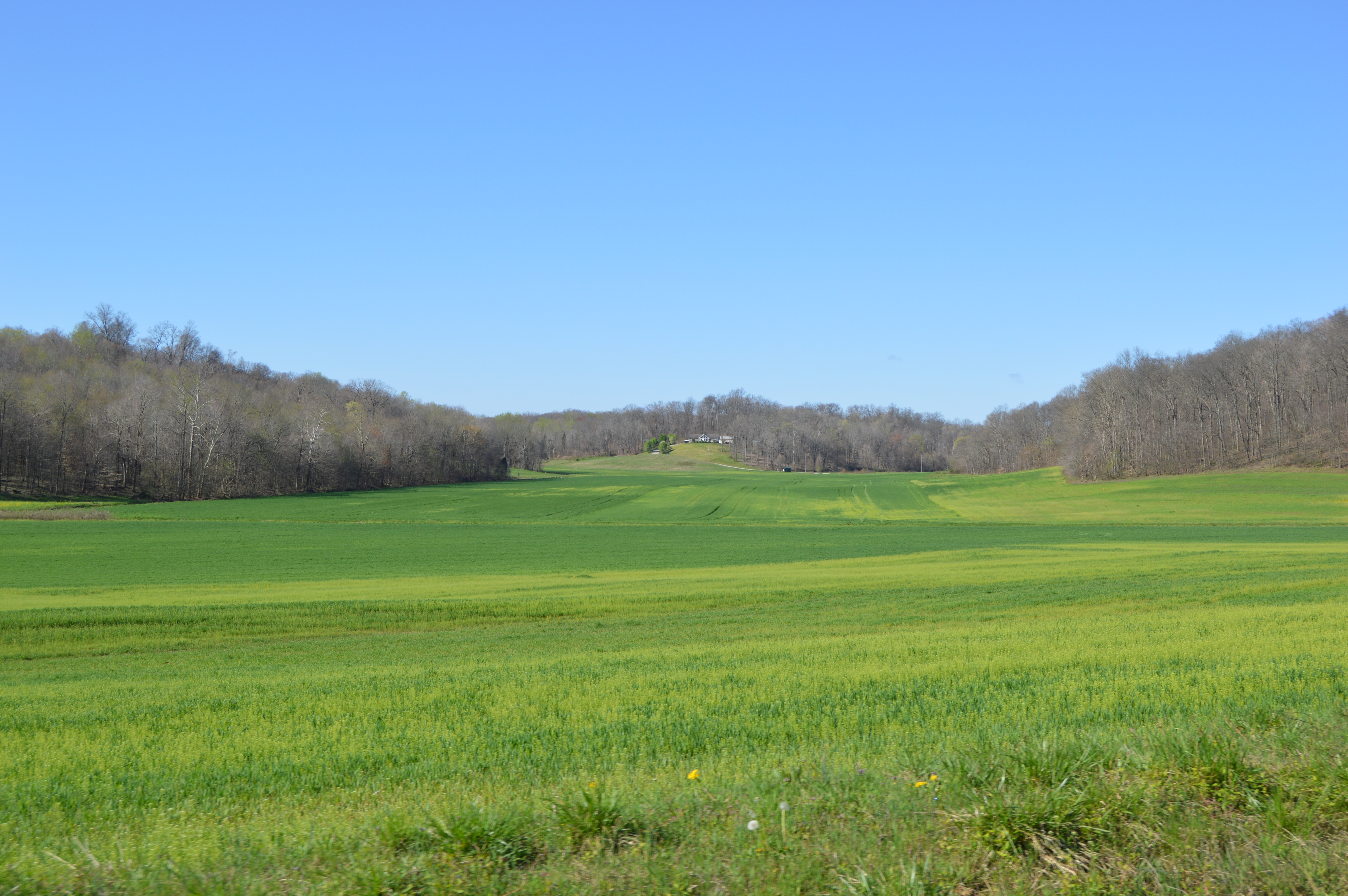 Fields east of Fulda | |
 | |
| Coordinates: 38°08′05″N 86°50′27″W | |
| Country | United States |
| State | Indiana |
| County | Spencer |
| Government | |
| • Type | Indiana township |
| Area | |
| • Total | 55.18 sq mi (142.9 km2) |
| • Land | 54.87 sq mi (142.1 km2) |
| • Water | 0.3 sq mi (0.8 km2) |
| Elevation | 525 ft (160 m) |
| Population (2010) | |
| • Total | 2,000 |
| • Density | 36.4/sq mi (14.1/km2) |
| FIPS code | 18-31990[2] |
| GNIS feature ID | 453396 |
History
Harrison Township was organized in January 1841, and named for William Henry Harrison (1773–1841) the ninth President of the United States (1841).[4]
The Huffman Mill Covered Bridge and St. Boniface Catholic Church are listed on the National Register of Historic Places.[5]
Geography
According to the 2010 census, the township has a total area of 55.18 square miles (142.9 km2), of which 54.87 square miles (142.1 km2) (or 99.44%) is land and 0.3 square miles (0.78 km2) (or 0.54%) is water.[3]
Unincorporated towns
- Fulda
- Huffman
- St. Meinrad
References
- "US Board on Geographic Names". United States Geological Survey. 2007-10-25. Retrieved 2008-01-31.
- "U.S. Census website". United States Census Bureau. Retrieved 2008-01-31.
- "Population, Housing Units, Area, and Density: 2010 - County -- County Subdivision and Place -- 2010 Census Summary File 1". United States Census. Archived from the original on 2020-02-12. Retrieved 2013-05-10.
- History of Warrick, Spencer, and Perry Counties, Indiana: From the Earliest Time to the Present. Goodspeed. 1885. p. 276.
- "National Register Information System". National Register of Historic Places. National Park Service. July 9, 2010.
External links
Municipalities and communities of Spencer County, Indiana, United States | ||
|---|---|---|
County seat: Rockport | ||
| City |
|  |
| Towns |
| |
| Townships |
| |
| CDPs |
| |
| Other unincorporated communities |
| |
| ||
This Spencer County, Indiana location article is a stub. You can help Wikipedia by expanding it. |
Другой контент может иметь иную лицензию. Перед использованием материалов сайта WikiSort.org внимательно изучите правила лицензирования конкретных элементов наполнения сайта.
WikiSort.org - проект по пересортировке и дополнению контента Википедии