world.wikisort.org - USA
Greene is a city in Butler County, Iowa, United States, along the Shell Rock River, and along Butler County's northern border, where Butler and Floyd counties meet. The population was 990 at the time of the 2020 census.[2]
Greene, Iowa | |
|---|---|
City | |
 Location of Greene, Iowa | |
| Coordinates: 42°53′51″N 92°48′12″W | |
| Country | |
| State | |
| Counties | Butler, Floyd |
| Area | |
| • Total | 1.21 sq mi (3.13 km2) |
| • Land | 1.14 sq mi (2.96 km2) |
| • Water | 0.07 sq mi (0.18 km2) |
| Elevation | 948 ft (289 m) |
| Population (2020) | |
| • Total | 990 |
| • Density | 867.66/sq mi (334.89/km2) |
| Time zone | UTC-6 (Central (CST)) |
| • Summer (DST) | UTC-5 (CDT) |
| ZIP code | 50636 |
| Area code | 641 |
| FIPS code | 19-32745 |
| GNIS feature ID | 0457119 |
History
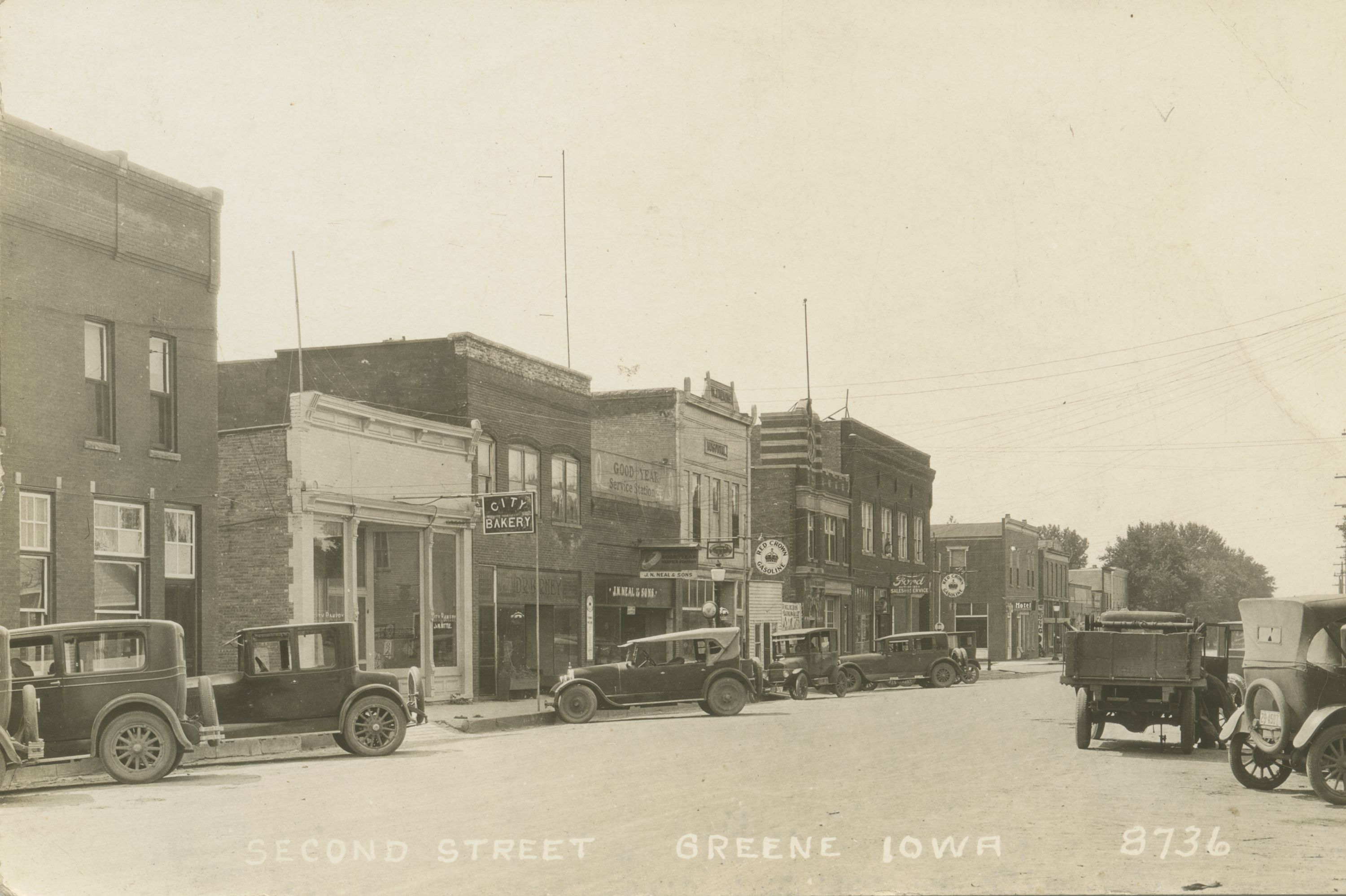
The community of Greene was first a postal area called, "Elm Springs" that was established in 1855 three miles southwest of the current town on Coldwater Creek. In 1871, the railroad selected a site on the east side of the Shell Rock River for a train depot and roundhouse, drawing the Elm Springs Post Office and community to that site. In 1871, the postal area name was changed from Elm Springs to Greene in honor of Judge George Greene president of the Burlington, Cedar Rapids and Minnesota railroad who, along with J. W. Traer and others, purchased the land for the new community. Judge Greene gave generously of land and money for the new town. In 1879, the Greene postal area was incorporated as The Town of Greene.
Geography
The city is located along the northern edge of Butler County, with a small portion extending north into Floyd County. According to the United States Census Bureau, the city has a total area of 1.22 square miles (3.16 km2), of which 1.14 square miles (2.95 km2) is land and 0.08 square miles (0.21 km2) is water.[3]
The Shell Rock River bisects the town, with the state Highway 14 and County Road 13 bridges connecting the two sections.
Demographics
| Year | Pop. | ±% |
|---|---|---|
| 1880 | 711 | — |
| 1890 | 845 | +18.8% |
| 1900 | 1,192 | +41.1% |
| 1910 | 1,150 | −3.5% |
| 1920 | 1,375 | +19.6% |
| 1930 | 1,268 | −7.8% |
| 1940 | 1,303 | +2.8% |
| 1950 | 1,347 | +3.4% |
| 1960 | 1,427 | +5.9% |
| 1970 | 1,363 | −4.5% |
| 1980 | 1,332 | −2.3% |
| 1990 | 1,142 | −14.3% |
| 2000 | 1,099 | −3.8% |
| 2010 | 1,130 | +2.8% |
| 2020 | 990 | −12.4% |
| Source:"U.S. Census website". United States Census Bureau. Retrieved 2020-03-28. and Iowa Data Center Source: | ||

2010 census
As of the census[5] of 2010, there were 1,130 people, 510 households, and 320 families living in the city. The population density was 991.2 inhabitants per square mile (382.7/km2). There were 575 housing units at an average density of 504.4 per square mile (194.7/km2). The racial makeup of the city was 98.6% White, 0.2% African American, 0.2% Native American, 0.3% Asian, and 0.8% from two or more races. Hispanic or Latino of any race were 0.4% of the population.
There were 510 households, of which 22.2% had children under the age of 18 living with them, 53.9% were married couples living together, 6.3% had a female householder with no husband present, 2.5% had a male householder with no wife present, and 37.3% were non-families. 33.1% of all households were made up of individuals, and 19.6% had someone living alone who was 65 years of age or older. The average household size was 2.16 and the average family size was 2.72.
The median age in the city was 49.8 years. 19.4% of residents were under the age of 18; 5% were between the ages of 18 and 24; 20.1% were from 25 to 44; 26.8% were from 45 to 64; and 28.7% were 65 years of age or older. The gender makeup of the city was 47.4% male and 52.6% female.
2000 census
As of the census[6] of 2000, there were 1,099 people, 508 households, and 308 families living in the city. The population density was 1,003.7 inhabitants per square mile (387.5/km2). There were 562 housing units at an average density of 513.3 per square mile (198.2/km2). The racial makeup of the city was 99.36% White, 0.27% African American, 0.27% Asian, and 0.09% from two or more races. Hispanic or Latino of any race were 1.09% of the population.
There were 508 households, out of which 23.4% had children under the age of 18 living with them, 53.1% were married couples living together, 5.9% had a female householder with no husband present, and 39.2% were non-families. 36.8% of all households were made up of individuals, and 26.0% had someone living alone who was 65 years of age or older. The average household size was 2.13 and the average family size was 2.80.
In the city, the population was spread out, with 21.1% under the age of 18, 5.1% from 18 to 24, 21.7% from 25 to 44, 22.7% from 45 to 64, and 29.3% who were 65 years of age or older. The median age was 47 years. For every 100 females, there were 86.6 males. For every 100 females age 18 and over, there were 83.3 males.
The median income for a household in the city was $34,063, and the median income for a family was $44,643. Males had a median income of $31,406 versus $21,181 for females. The per capita income for the city was $17,891. About 4.3% of families and 5.8% of the population were below the poverty line, including 2.2% of those under age 18 and 13.1% of those age 65 or over.
Education
It is a part of the North Butler Community School District, which was established on July 1, 2011, as a merger of the Greene Community School District and Allison–Bristow Community School District,[7] The local high school is North Butler High School.
Notable people
- Thomas Braden (1917–2009) author of the book Eight Is Enough that was the basis for the ABC show Eight Is Enough[8][9]
- Henry Norman Graven (1893–1970) United States federal judge from 1944 to 1970[10]
- Frank D. Jackson (1854–1938) 15th Governor of Iowa from 1894 to 1896[11]
See also
- King Corn, a documentary released in October 2007 about corn and its effects on American food and agriculture industries.
- Iowa Highway 14
References
- "2020 U.S. Gazetteer Files". United States Census Bureau. Retrieved March 16, 2022.
- "2020 Census State Redistricting Data". census.gov. United states Census Bureau. Retrieved 12 August 2021.
- "US Gazetteer files 2010". United States Census Bureau. Archived from the original on 2012-01-25. Retrieved 2012-05-11.
- "Census of Population and Housing". Census.gov. Retrieved June 4, 2015.
- "U.S. Census website". United States Census Bureau. Retrieved 2012-05-11.
- "U.S. Census website". United States Census Bureau. Retrieved 2008-01-31.
- "District Reorganization History final." Iowa Department of Education. Retrieved on July 6, 2019.
- "Tom Braden, Who Fathered 'Eight Is Enough,' Dies at 92". The New York Times. April 6, 2009. Retrieved May 2, 2011.
- "Tom Braden". NNDB. Retrieved May 2, 2011.
- "Biographical Directory of Federal Judges/Graven, Henry Norman". Federal Judicial Center. Retrieved May 2, 2011.
- "Iowa Governor Frank Darr Jackson". National Governors Association. Archived from the original on April 30, 2011. Retrieved May 2, 2011.
Clayton F. Thomas, Trails to Train Tracks, The History of Elm Springs: A vanished Butler County, Iowa Settlement, 2015. Available at the State Historical Society of Iowa Libraries, Des Moines and Iowa City.
Clayton F. Thomas, Glimpses of Greene: Selected Historical Studies, Greene, Iowa. 2018. Available at the State Historical Society of Iowa Libraries, Des Moines and Iowa City.
External links
- Greetings from Greene, Iowa Archived 2017-04-22 at the Wayback Machine Portal style website, schools, businesses, recreation, and more
- City-Data Comprehensive Statistical Data and more about Greene
Municipalities and communities of Butler County, Iowa, United States | ||
|---|---|---|
County seat: Allison | ||
| Cities |  | |
| Townships | ||
| Unincorporated communities | ||
| Footnotes | ‡This populated place also has portions in an adjacent county or counties | |
| ||
Municipalities and communities of Floyd County, Iowa, United States | ||
|---|---|---|
County seat: Charles City | ||
| Cities |
|  |
| Townships | ||
| CDP | ||
| Other unincorporated communities | ||
| Footnotes | ‡This populated place also has portions in an adjacent county or counties | |
| ||
На других языках
[de] Greene (Iowa)
Greene ist eine Kleinstadt (mit dem Status „City“) im Butler County und zu einem kleinen Teil im Floyd County im US-amerikanischen Bundesstaat Iowa. Im Jahr 2010 hatte Greene 1130 Einwohner, deren Zahl sich bis 2012 auf 1156 erhöhte.[1]- [en] Greene, Iowa
Другой контент может иметь иную лицензию. Перед использованием материалов сайта WikiSort.org внимательно изучите правила лицензирования конкретных элементов наполнения сайта.
WikiSort.org - проект по пересортировке и дополнению контента Википедии