world.wikisort.org - USA
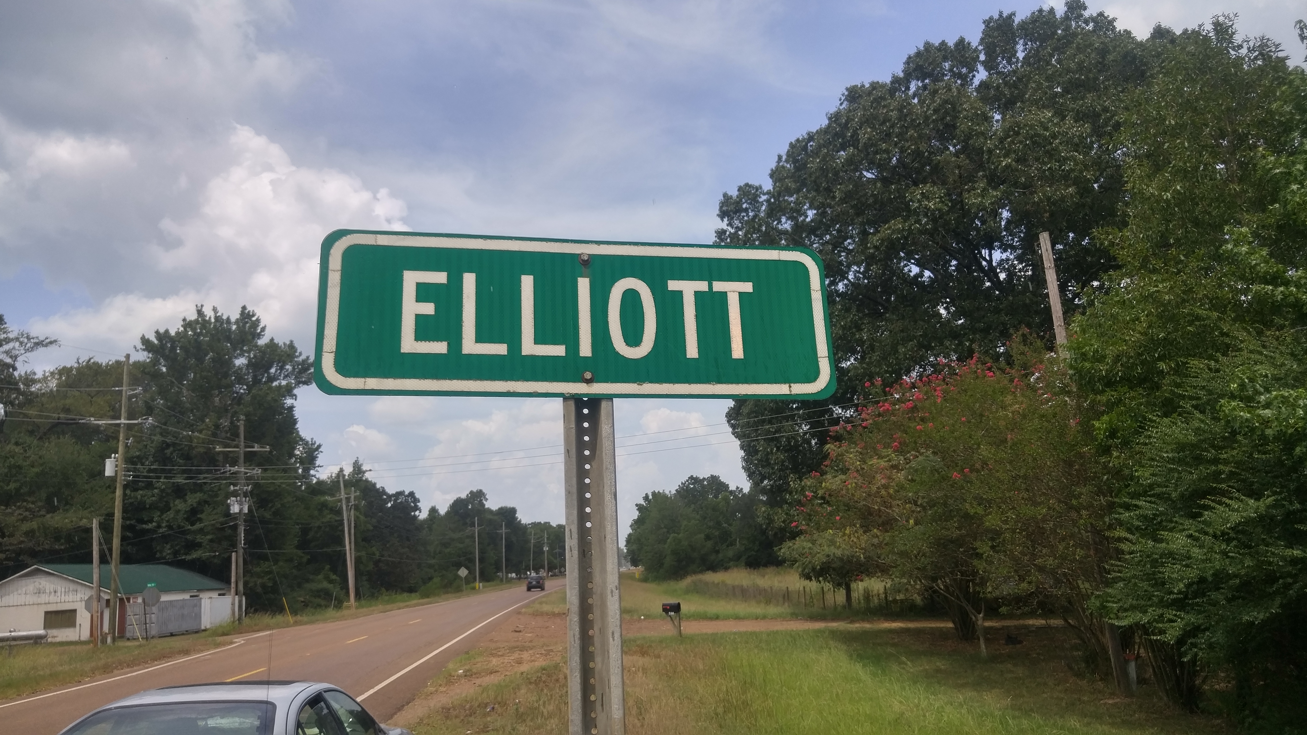
Elliott is an unincorporated community and census-designated place (CDP) in Grenada County, Mississippi, United States, and part of the Grenada Micropolitan Statistical Area. As of the 2010 census it had a population of 990.[3]
Elliott, Mississippi | |
|---|---|
Census-designated place | |
 | |
 Elliott  Elliott | |
| Coordinates: 33°41′00″N 89°44′57″W | |
| Country | United States |
| State | Mississippi |
| County | Grenada |
| Area | |
| • Total | 4.53 sq mi (11.72 km2) |
| • Land | 4.53 sq mi (11.72 km2) |
| • Water | 0.00 sq mi (0.00 km2) |
| Elevation | 226 ft (69 m) |
| Population (2020) | |
| • Total | 880 |
| • Density | 194.48/sq mi (75.09/km2) |
| Time zone | UTC-6 (Central (CST)) |
| • Summer (DST) | UTC-5 (CDT) |
| ZIP code | 38926 |
| Area code | 662 |
| GNIS feature ID | 691837[2] |
| FIPS code | 28-21940 |
Elliott is located on the southern edge of Grenada County, with its southern border following the Montgomery County line. It is along U.S. Route 51, 7 miles (11 km) south of Grenada, the county seat, and 4 miles (6 km) north of Duck Hill. The Camp McCain Training Center of the Mississippi National Guard is 3 miles (5 km) to the east.
According to the U.S. Census Bureau, the Elliott CDP has an area of 4.5 square miles (11.7 km2), all of it land.[3] The community is in the valley of Batupan Bogue, a northwest-flowing tributary of the Yalobusha River.
Elliott is located on the former Illinois Central Railroad.[4]
A post office operated under the name Elliott from 1860 to 1964.[5]
Demographics
| Historical population | |||
|---|---|---|---|
| Census | Pop. | %± | |
| 2020 | 880 | — | |
| U.S. Decennial Census[6] | |||
References
- "2020 U.S. Gazetteer Files". United States Census Bureau. Retrieved July 24, 2022.
- U.S. Geological Survey Geographic Names Information System: Elliott, Mississippi
- "Geographic Identifiers: 2010 Demographic Profile Data (G001): Elliott CDP, Mississippi". American Factfinder. U.S. Census Bureau. Retrieved December 20, 2016.[dead link]
- Rowland, Dunbar (1907). Mississippi: Comprising Sketches of Counties, Towns, Events, Institutions, and Persons, Arranged in Cyclopedic Form. Vol. 1. Southern Historical Publishing Association. p. 683.
- Howe, Tony. "Elliott, Mississippi". Mississippi Rails. Retrieved 11 February 2021.
- "Census of Population and Housing". Census.gov. Retrieved June 4, 2016.
Municipalities and communities of Grenada County, Mississippi, United States | ||
|---|---|---|
County seat: Grenada | ||
| Cities |  | |
| CDPs | ||
| Other unincorporated communities | ||
| ||
This Grenada County, Mississippi state location article is a stub. You can help Wikipedia by expanding it. |
Другой контент может иметь иную лицензию. Перед использованием материалов сайта WikiSort.org внимательно изучите правила лицензирования конкретных элементов наполнения сайта.
WikiSort.org - проект по пересортировке и дополнению контента Википедии