world.wikisort.org - USA
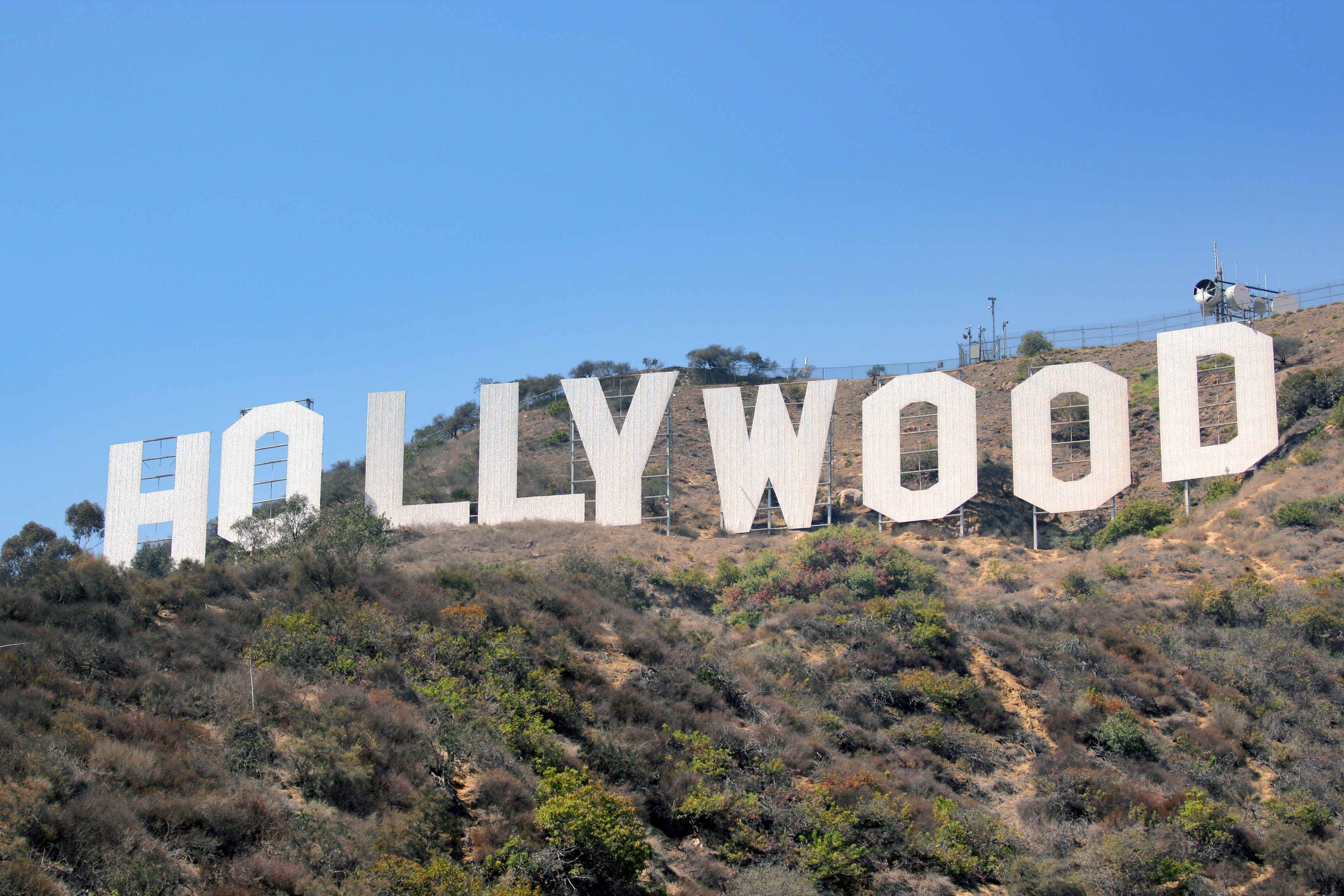
Colegrove is a former settlement located near the present day intersection of Santa Monica Boulevard and Vine Street in Los Angeles, California. In 1914 it was described as being south of Hollywood and north of Melrose Avenue.[1]
Colegrove | |
|---|---|
Neighborhood of Los Angeles | |
| Coordinates: 34.090867°N 118.3288137°W | |
| Country | United States |
| State | California |
| County | Los Angeles |
| City | Los Angeles |
| Time zone | UTC-8 (PST) |
| • Summer (DST) | UTC-7 (PDT) |
| Zip codes | 90038 |
| Area code | 323 |
The settlement was founded by Cornelius Cole on land deeded to him by Henry Hancock that had once been part of the Rancho La Brea. A post office was first built at Colegrove in 1884, predating the post office in Hollywood by several years. Colegrove was named for Cole's wife, Olive Colegrove Cole, and the Cole family gave their name to several streets in the Colegrove area, including Cole St., Willoughby Ave., Eleanor St. and Seward St.

In the 1890s, the Los Angeles Pacific Railroad came to Colegrove. This railroad was eventually incorporated in the Pacific Electric Railway's Owensmouth, San Fernando and Sherman lines.
Colegrove was annexed to Los Angeles in 1909.
In 1912, a reading room opened in Colegrove; this library would be replaced by what is now the John C. Fremont Branch Library.[2]
In more recent years, the area is sometimes referred to as South Hollywood.
References
Notes
- Standard Guide to Los Angeles, San Diego, and the Panama-California Exposition. Press Association. 1914.
- "A Brief History of the John C. Fremont Branch Library". Los Angeles Public Library.
Bibliography
- Nathan Masters (September 27, 2013). "Hooray for...Colegrove? Remembering Hollywood's Forgotten Neighbor".
| Districts and neighborhoods |
|  |
|---|---|---|
| Points of interest |
| |
| Neighboring cities and communities |
| |
| ||
Другой контент может иметь иную лицензию. Перед использованием материалов сайта WikiSort.org внимательно изучите правила лицензирования конкретных элементов наполнения сайта.
WikiSort.org - проект по пересортировке и дополнению контента Википедии