world.wikisort.org - USA
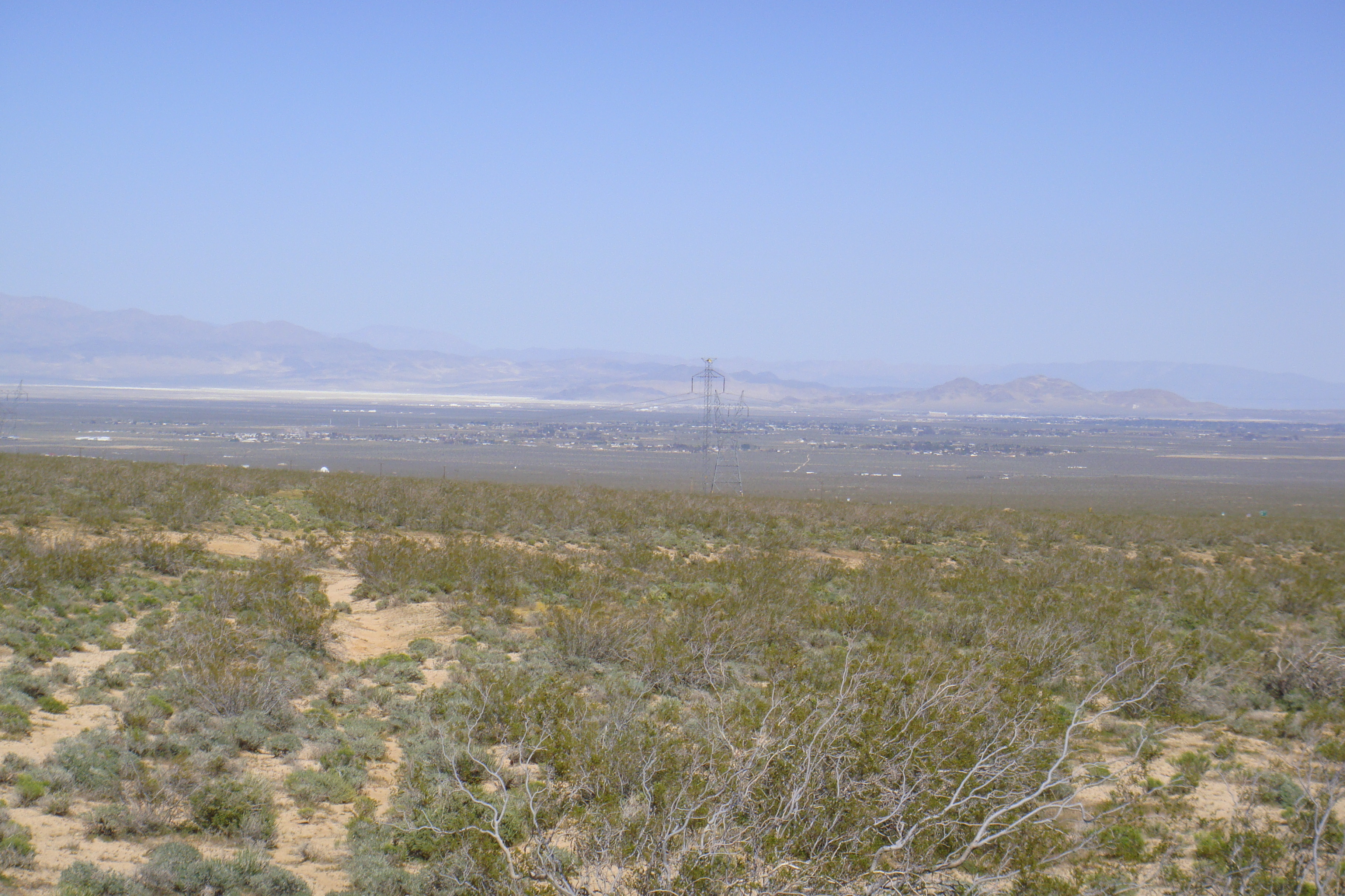
China Lake is an unincorporated community in Kern County, California.[1] It is located 2.5 miles (4 km) north-northeast of Ridgecrest,[2] at an elevation of 2,264 feet (690 m).[1] The place is on China Lake, a dry lake on the Naval Air Weapons Station China Lake.[2]
China Lake | |
|---|---|
Unincorporated community | |
 China Lake Location in California  China Lake China Lake (the United States) | |
| Coordinates: 35°39′03″N 117°39′42″W | |
| Country | United States |
| State | California |
| County | Kern County |
| Elevation | 2,264 ft (690 m) |
The first post office at China Lake opened in 1948.[2]
History
Prehistory
The locale was originally settled by the Coso People, who were prolific artisans in creating rock art. The Coso left archaeological evidence substantiating trade between the Coso and other Native American tribes. For example, distant trade with the Chumash People is confirmed by archaeological recovery of obsidian that has been linked to the Cosos and was discovered as far away as coastal California prehistoric sites in San Luis Obispo County.[3]
Early 1900s (origin of name)
Chinese prospectors harvested borax from the dry lake bed approximately 1.5 miles south of Paxton Ranch. The operation was known locally as "The Little Chinese Borax Works". This led to the area being called China Lake.[4][5]
Climate
The area around China Lake has a hot desert climate (BWh) typical of the Mojave Desert with very hot, dry summers and cool winters. Most rain falls in the winter.
| Climate data for China Lake NAF, California (normals 1981-2010, extremes 1945-2020, precipitation 1944-1973) | |||||||||||||
|---|---|---|---|---|---|---|---|---|---|---|---|---|---|
| Month | Jan | Feb | Mar | Apr | May | Jun | Jul | Aug | Sep | Oct | Nov | Dec | Year |
| Record high °F (°C) | 89 (32) |
91 (33) |
92 (33) |
104 (40) |
109 (43) |
118 (48) |
119 (48) |
119 (48) |
114 (46) |
103 (39) |
93 (34) |
81 (27) |
119 (48) |
| Mean maximum °F (°C) | 72 (22) |
77 (25) |
85 (29) |
94 (34) |
102 (39) |
108 (42) |
113 (45) |
111 (44) |
106 (41) |
96 (36) |
83 (28) |
71 (22) |
113 (45) |
| Average high °F (°C) | 60.3 (15.7) |
64.4 (18.0) |
71.1 (21.7) |
77.8 (25.4) |
87.9 (31.1) |
96.9 (36.1) |
103.3 (39.6) |
101.7 (38.7) |
93.9 (34.4) |
81.5 (27.5) |
68.9 (20.5) |
59.0 (15.0) |
80.6 (27.0) |
| Daily mean °F (°C) | 45.2 (7.3) |
49.8 (9.9) |
55.8 (13.2) |
62.1 (16.7) |
71.7 (22.1) |
79.8 (26.6) |
86.2 (30.1) |
84.5 (29.2) |
76.7 (24.8) |
64.7 (18.2) |
52.9 (11.6) |
44.3 (6.8) |
64.5 (18.1) |
| Average low °F (°C) | 30.1 (−1.1) |
35.2 (1.8) |
40.6 (4.8) |
46.3 (7.9) |
55.4 (13.0) |
62.7 (17.1) |
69.1 (20.6) |
67.3 (19.6) |
59.5 (15.3) |
47.9 (8.8) |
36.8 (2.7) |
29.6 (−1.3) |
48.4 (9.1) |
| Mean minimum °F (°C) | 20 (−7) |
23 (−5) |
29 (−2) |
34 (1) |
44 (7) |
51 (11) |
60 (16) |
57 (14) |
49 (9) |
37 (3) |
24 (−4) |
19 (−7) |
18 (−8) |
| Record low °F (°C) | 6 (−14) |
12 (−11) |
21 (−6) |
27 (−3) |
35 (2) |
42 (6) |
50 (10) |
51 (11) |
39 (4) |
20 (−7) |
16 (−9) |
8 (−13) |
6 (−14) |
| Average precipitation inches (mm) | 0.45 (11) |
0.62 (16) |
0.20 (5.1) |
0.13 (3.3) |
0.11 (2.8) |
0.01 (0.25) |
0.13 (3.3) |
0.10 (2.5) |
0.22 (5.6) |
0.12 (3.0) |
0.55 (14) |
0.50 (13) |
2.90 (74) |
| Average precipitation days | 2.0 | 2.9 | 1.4 | 1.0 | 0.8 | 0.3 | 0.7 | 0.7 | 0.8 | 0.8 | 2.0 | 2.0 | 15.4 |
| Source: NOAA[6] | |||||||||||||
References
- U.S. Geological Survey Geographic Names Information System: China Lake, Kern County, California
- Durham, David L. (1998). California's Geographic Names: A Gazetteer of Historic and Modern Names of the State. Clovis, Calif.: Word Dancer Press. p. 1016. ISBN 1-884995-14-4.
- C. Michael Hogan. 2008. Morro Creek, ed. by A. Burnham
- Panlaqui, Carol, What’s in a Name?, Maturango Museum, Ridgecrest, California (undated single sheet).
- Allan, Lois (Summer 2013). "China Lake Personal History" (PDF). Newsletter of the China Lake Museum Foundation. Vol. 19, no. 3. China Lake Museum Foundation. Retrieved 25 January 2021.
the name, which comes from the Chinese workers who toiled in the potash mines in the area early in the 20th century, has become the unofficial and more commonly used identification
- "China Lake NAF - NWS Hanford CA NOAA Online Weather Data". Retrieved February 10, 2021.

Authority control | |
|---|---|
| General |
|
| National libraries | |
| Other | |
This Kern County, California-related article is a stub. You can help Wikipedia by expanding it. |
Другой контент может иметь иную лицензию. Перед использованием материалов сайта WikiSort.org внимательно изучите правила лицензирования конкретных элементов наполнения сайта.
WikiSort.org - проект по пересортировке и дополнению контента Википедии