world.wikisort.org - USA
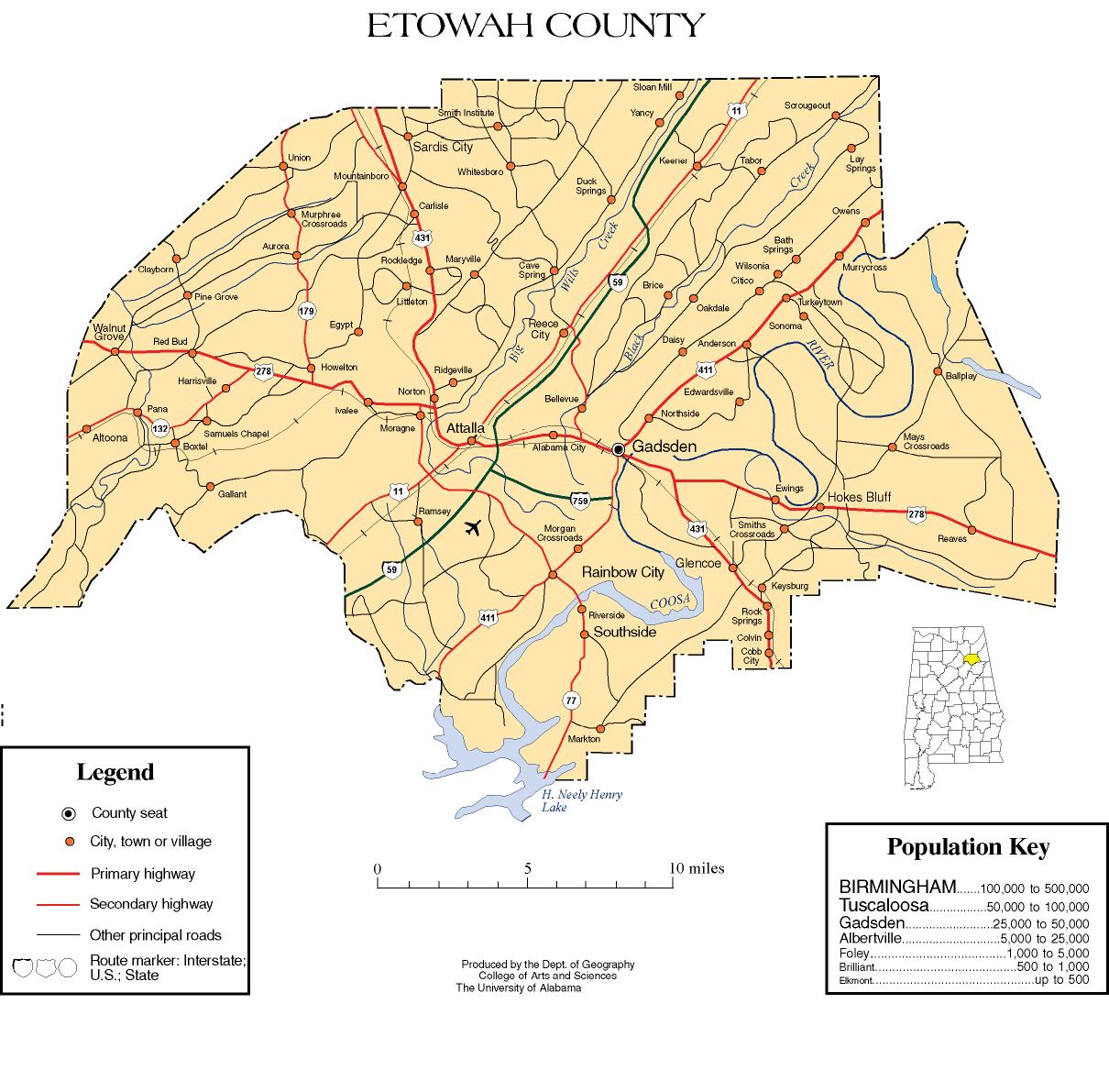
Carlisle-Rockledge is a census-designated place in Etowah County, Alabama, United States. The CDP includes the communities of Carlisle and Rockledge, both of which are located along U.S. Route 431 in northwest Etowah County.[3] Its population was 2,137 as of the 2010 census.[4]
Carlisle-Rockledge, Alabama | |
|---|---|
Census-designated place | |
 Carlisle-Rockledge | |
| Coordinates: 34°06′52″N 86°07′27″W | |
| Country | United States |
| State | Alabama |
| County | Etowah |
| Area | |
| • Total | 16.20 sq mi (41.97 km2) |
| • Land | 16.20 sq mi (41.96 km2) |
| • Water | 0.01 sq mi (0.01 km2) |
| Elevation | 1,030 ft (310 m) |
| Population (2020) | |
| • Total | 2,167 |
| • Density | 133.77/sq mi (51.65/km2) |
| Time zone | UTC-6 (Central (CST)) |
| • Summer (DST) | UTC-5 (CDT) |
| Area code(s) | 256 & 938 |
| FIPS code | 01-12070 |
| GNIS feature ID | 2582667[2] |
Demographics
| Historical population | |||
|---|---|---|---|
| Census | Pop. | %± | |
| 2020 | 2,167 | — | |
| U.S. Decennial Census[5] | |||
References
- "2020 U.S. Gazetteer Files". United States Census Bureau. Retrieved October 29, 2021.
- U.S. Geological Survey Geographic Names Information System: Carlisle-Rockledge, Alabama
- Etowah County (Map). University of Alabama College of Arts and Science, Department of Geography. Retrieved November 6, 2011.
- "U.S. Census website". United States Census Bureau. Retrieved 2011-05-14.
- "Census of Population and Housing". Census.gov. Retrieved June 4, 2016.
Municipalities and communities of Etowah County, Alabama, United States | ||
|---|---|---|
County seat: Gadsden | ||
| Cities |
|  |
| Towns |
| |
| CDPs | ||
| Unincorporated communities |
| |
| Former City | ||
| Footnotes | ‡This populated place also has portions in an adjacent county or counties | |
| ||
This Etowah County, Alabama state location article is a stub. You can help Wikipedia by expanding it. |
Текст в блоке "Читать" взят с сайта "Википедия" и доступен по лицензии Creative Commons Attribution-ShareAlike; в отдельных случаях могут действовать дополнительные условия.
Другой контент может иметь иную лицензию. Перед использованием материалов сайта WikiSort.org внимательно изучите правила лицензирования конкретных элементов наполнения сайта.
Другой контент может иметь иную лицензию. Перед использованием материалов сайта WikiSort.org внимательно изучите правила лицензирования конкретных элементов наполнения сайта.
2019-2026
WikiSort.org - проект по пересортировке и дополнению контента Википедии
WikiSort.org - проект по пересортировке и дополнению контента Википедии