world.wikisort.org - USA
Boyds Creek is an unincorporated community in Sevier County, Tennessee, United States. It is named for a small southward-flowing tributary of the French Broad River of the same name, which itself derives its name from a Virginian trader, killed by a band of Cherokee Indians, whose body was thrown into the stream. The creek was the site of a 1780 battle (The Battle of Boyd's Creek) between white settlers and Cherokee angry at the settlers' encroachment onto their hunting territory.[2]
Boyds Creek | |
|---|---|
Unincorporated community | |
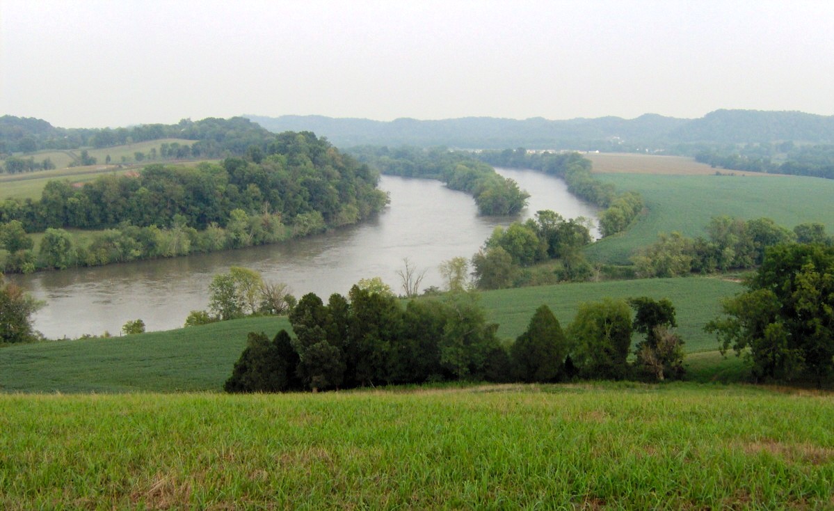 The French Broad River and rural fringe in Boyds Creek | |
 Boyds Creek Location within the state of Tennessee  Boyds Creek Boyds Creek (the United States) | |
| Coordinates: 35°55′24″N 83°39′33″W | |
| Country | United States |
| State | Tennessee |
| County | Sevier |
| Elevation | 899 ft (274 m) |
| Time zone | UTC-5 (Eastern (EST)) |
| • Summer (DST) | UTC-4 (EDT) |
| ZIP codes | 37862, 37876 |
| GNIS feature ID | 1314721[1] |
Geography
The community has a mean elevation of 899 feet (274 metres).[1]
References
- "Boyds Creek, Tennessee". Geographic Names Information System. United States Geological Survey, United States Department of the Interior.
- "SMHS - Early History of Sevier County". Archived from the original on September 18, 2012. Retrieved July 8, 2006.
Municipalities and communities of Sevier County, Tennessee, United States | ||
|---|---|---|
County seat: Sevierville | ||
| Cities |  | |
| Town | ||
| CDPs | ||
| Other communities |
| |
| Footnotes | ‡This populated place also has portions in an adjacent county or counties | |
| ||
This Sevier County, Tennessee geography–related article is a stub. You can help Wikipedia by expanding it. |
Текст в блоке "Читать" взят с сайта "Википедия" и доступен по лицензии Creative Commons Attribution-ShareAlike; в отдельных случаях могут действовать дополнительные условия.
Другой контент может иметь иную лицензию. Перед использованием материалов сайта WikiSort.org внимательно изучите правила лицензирования конкретных элементов наполнения сайта.
Другой контент может иметь иную лицензию. Перед использованием материалов сайта WikiSort.org внимательно изучите правила лицензирования конкретных элементов наполнения сайта.
2019-2026
WikiSort.org - проект по пересортировке и дополнению контента Википедии
WikiSort.org - проект по пересортировке и дополнению контента Википедии