world.wikisort.org - Vereinigte_Staaten
Providence County[1] ist ein County im Bundesstaat Rhode Island der Vereinigten Staaten. Im Jahr 2020 hatte das County 660.741 Einwohner und eine Bevölkerungsdichte von 617 Einwohnern pro Quadratkilometer.[2] Der Verwaltungssitz (County Seat) ist Providence.
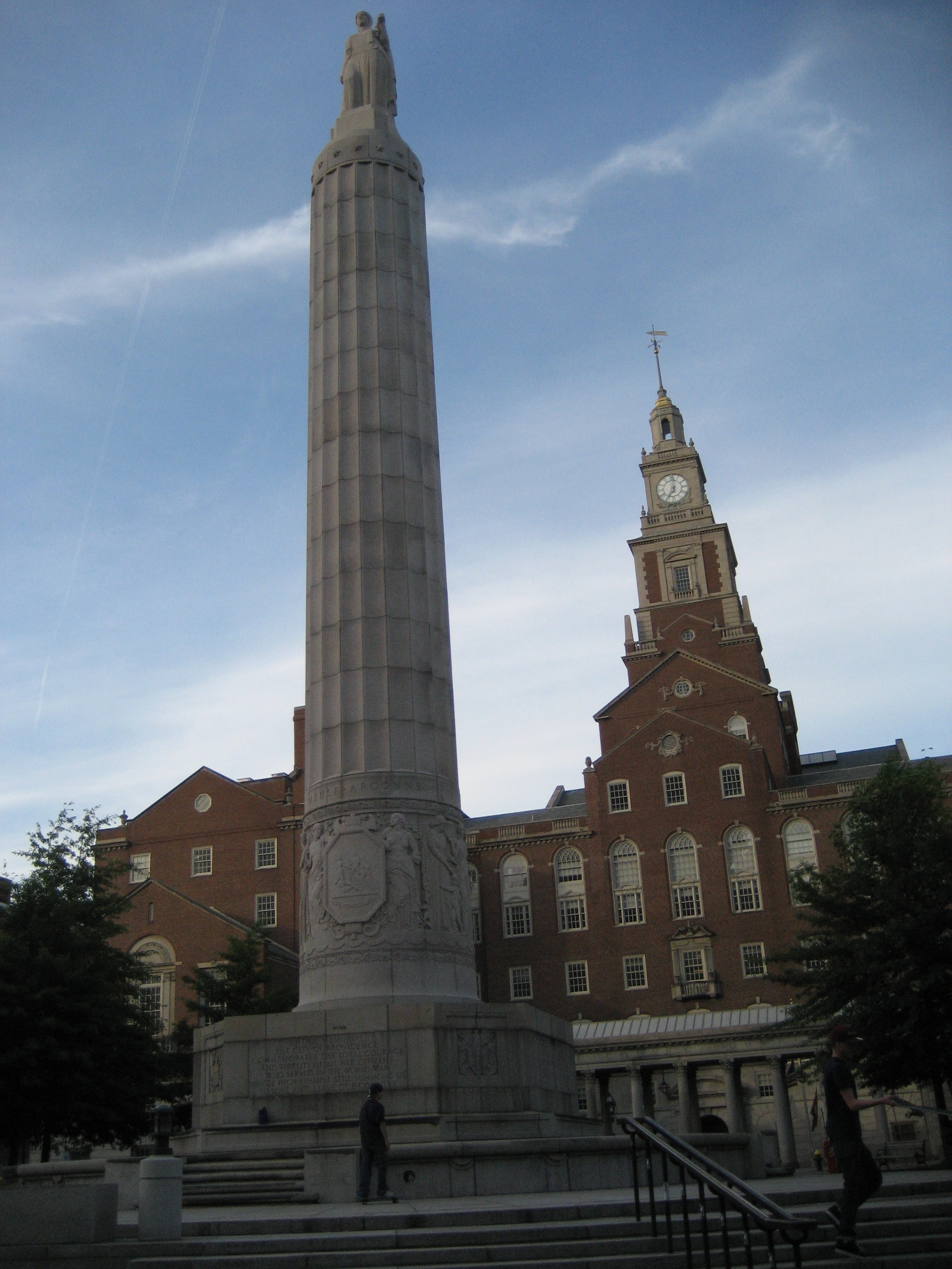 Providence County Courthouse | |
| Verwaltung | |
|---|---|
| US-Bundesstaat: | Rhode Island |
| Verwaltungssitz: | Providence |
| Gründung: | 1703 |
| Demographie | |
| Einwohner: | 660.741 (Stand: 2020) |
| Bevölkerungsdichte: | 616,94 Einwohner/km2 |
| Geographie | |
| Fläche gesamt: | 1129 km² |
| Wasserfläche: | 58 km² |
| Karte | |
 | |
Geographie
Das County hat eine Fläche von 1129 Quadratkilometern, wovon 58 Quadratkilometer Wasserfläche sind. Es grenzt im Uhrzeigersinn an folgende Countys: Norfolk County (Massachusetts), Bristol County, Bristol County (Massachusetts), Kent County, Windham County (Connecticut) und Worcester County (Massachusetts).
Geschichte
Providence County wurde 1703 als Providence Plantations County gegründet und 1729 nach Providence County umbenannt.

Im County liegt eine geschützte Stätte besonders hoher Bedeutung für die amerikanische Geschichte, das Roger Williams National Memorial. 15 Orte im County haben den Status einer National Historic Landmark.[3] 412 Bauwerke und Stätten des Countys sind im National Register of Historic Places (NRHP) eingetragen (Stand 25. Juli 2018).[4]
Bevölkerungsentwicklung
| 1980 | 1990 | 2000 | 2010 | 2020 |
|---|---|---|---|---|
| 570.358 | 596.270 | 621.602 | 626.667 | 660.741 |
Demographie
Laut der Volkszählung im Jahr 2000 lebten im Providence County 621.602 Einwohner in 239.936 Haushalten und 152.839 Familien. Die Bevölkerung setzte sich aus 78,38 Prozent Weißen, 6,55 Prozent Schwarzen und 2,90 Prozent Asiaten zusammen. 13,39 Prozent der Bevölkerung waren spanischer oder lateinamerikanischer Abstammung. Das Prokopfeinkommen betrug 19.255 US-Dollar; 11,9 Prozent der Familien sowie 15,5 Prozent der Bevölkerung lebten unter der Armutsgrenze.[5]
Städte und Gemeinden
Weblinks
Einzelnachweise
- Providence County. In: Geographic Names Information System. United States Geological Survey (englisch).. Abgerufen am 22. Februar 2011
- Rhode Island (Bundesstaat, USA) - Einwohnerzahlen, Grafiken, Karte und Lage. Abgerufen am 31. August 2021.
- Listing of National Historic Landmarks by State: Rhode Island. National Park Service, abgerufen am 25. Juli 2018.
- Suchmaske Datenbank im National Register Information System. National Park Service, abgerufen am 25. Juli 2018.
- Providence County, Rhode Island, Datenblatt mit den Ergebnissen der Volkszählung im Jahre 2000 bei factfinder.census.gov.
Liste der Countys in Rhode Island
Bristol |
Kent |
Newport |
Providence |
Washington
| Cities |
Central Falls • Cranston • East Providence • Pawtucket • Providence • Woonsocket |
|
| Town |
Burrillville • Cumberland • Foster • Glocester • Johnston • Lincoln • North Providence • North Smithfield • Scituate • Smithfield | |
| CDPs |
Chepachet • Clayville • Cumberland Hill • Foster Center • Greenville • Harmony • Harrisville • Pascoag • Valley Falls | |
| Unincorporated Communities |
Albion • Branch Village • Esmond • Forestdale • Georgiaville • Glendale • Graniteville • Lime Rock • Manville • Oakland • Primrose • Quinnville • Saylesville • Smithville–North Scituate • Slatersville • Union Village • Waterford |

На других языках
- [de] Providence County
[en] Providence County, Rhode Island
Providence County is the most populous county in the U.S. state of Rhode Island. As of the 2020 census, the county's population was 660,741, or 60.2% of the state's population.[1] Providence County contains the city of Providence, the state capital of Rhode Island and the county's (and state's) most populous city, with an estimated 179,335 residents in 2018. Providence County is included in the Providence-Warwick, RI-MA Metropolitan Statistical Area, which in turn constitutes a portion of the greater Boston-Worcester-Providence, MA-RI-NH-CT Combined Statistical Area. In 2010, the center of population of Rhode Island was located in Providence County, in the city of Cranston.[2][ru] Провиденс (округ)
Провиденс (англ. Providence County) — округ, расположенный в штате Род-Айленд, США. В 2010 году население Провиденса составляло 626 667 человек. Центр населённости штата Род-Айленд располагается в округе Провиденс в городе Кранстон (англ.)[1]. Провиденс занимает 97-е место в списке самых населённых округов США (англ.).Другой контент может иметь иную лицензию. Перед использованием материалов сайта WikiSort.org внимательно изучите правила лицензирования конкретных элементов наполнения сайта.
WikiSort.org - проект по пересортировке и дополнению контента Википедии