world.wikisort.org - Uruguay
La Barra is a resort in the Maldonado Department of southeastern Uruguay.
La Barra | |
|---|---|
Resort | |
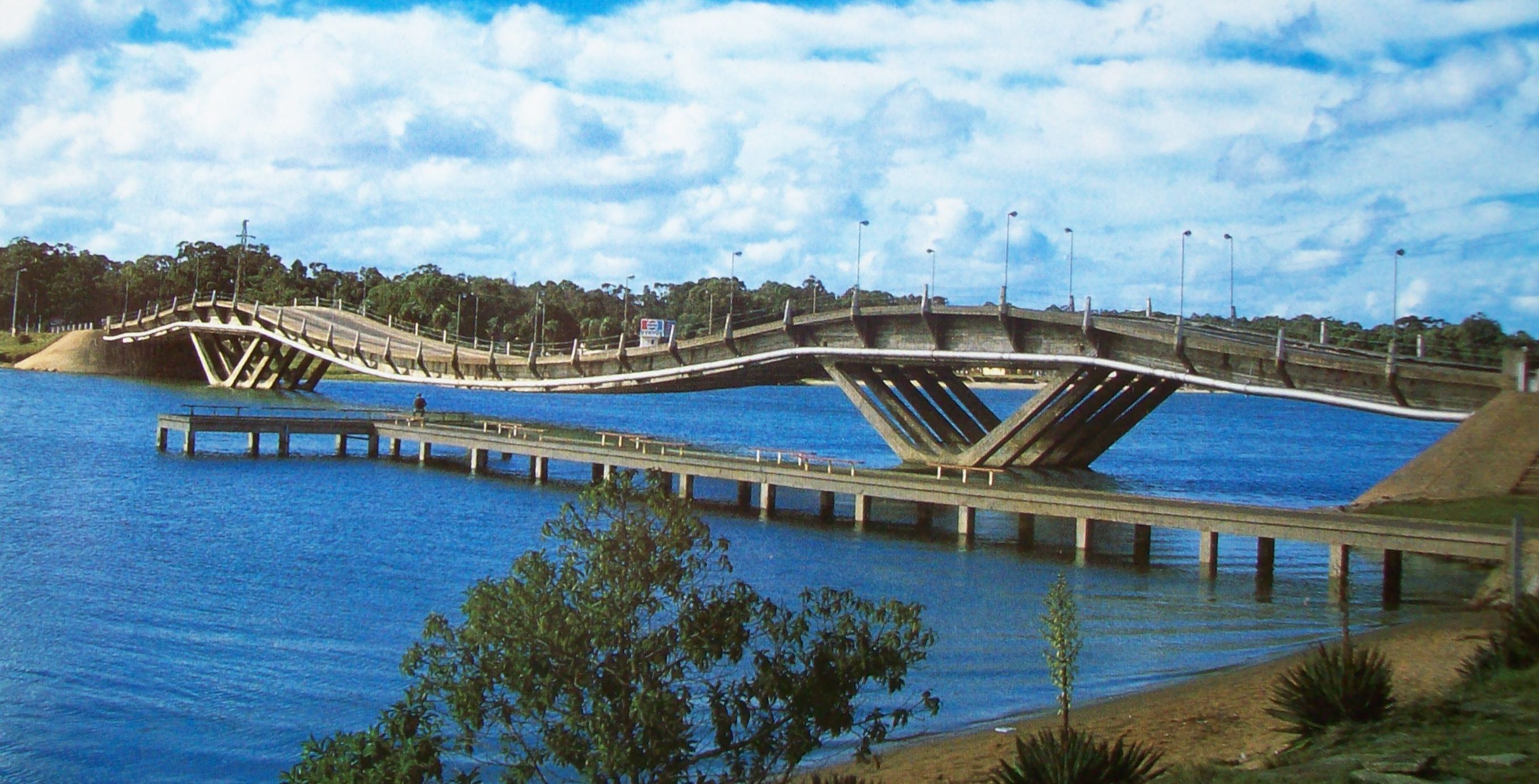 La Barra Bridge ("Leonel Viera") | |
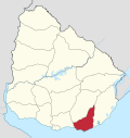
 La Barra Location in Uruguay | |
| Coordinates: 34°54′50″S 54°51′10″W | |
| Country | |
| Department | Maldonado Department |
| Population (2011) | |
| • Total | 339 |
| Time zone | UTC -3 |
| Postal code | 20001 |
| Dial plan | +598 42 (+6 digits) |
| Climate | Cfb |
Location and geography
The resort is located on Route 10, south of its junction with Ruta Interbalnearia. Its west coast is on the mouth of Arroyo Maldonado, while its south coast in on the Atlantic Ocean. It lies just across San Rafael - El Placer to the west, with which they are connected with the nearby bridge Puente de Barra de Maldonado, famous for its architecture. It borders the resort El Tesoro to the northwest and to the east a neighbourhood called "Barrio San Carlos",[1] which lies just west of the resort Manantiales.
Population
In 2011 La Barra had a population of 339 permanent inhabitants and 1,210 dwellings.[2]
| Year | Population | Dwellings |
|---|---|---|
| 1963 | 132 | 223 |
| 1975 | 182 | 334 |
| 1985 | 281 | 474 |
| 1996 | 308 | 677 |
| 2004 | 358 | 817 |
| 2011 | 339 | 1,210 |
Source: Instituto Nacional de Estadística de Uruguay[3]
Places of worship
- Parish Church of Our Lady of the Rosary (Roman Catholic)
Attractions
- Museum of the sea (Uruguay)
References
- "Municipal map of Maldonado" (PDF). Intendencia de Maldonado. Archived from the original (PDF (1.2 MB)) on 27 September 2011. Retrieved 26 July 2011.
- "Censos 2011 Maldonado (needs flash plugin)". INE. 2012. Archived from the original on 7 September 2012. Retrieved 29 August 2012.
- "1963–1996 Statistics / L". Instituto Nacional de Estadística de Uruguay. 2004. Archived from the original (DOC) on 29 November 2011. Retrieved 25 July 2011.
External links
| Resorts and Landforms |
|
|---|---|
Glossary : Balneario = Resort , Barra = Mouth (of river) , Laguna = Lagoon , Playa = Beach , Puerto = Port , Punta (or Pta) = Point, Small Peninsula | |
Capital: | ||
| Municipalities |
|  |
| Towns and villages |
| |
| Sights |
| |
This article about a specific bridge or group of bridges is a stub. You can help Wikipedia by expanding it. |
This article about a place in Maldonado Department is a stub. You can help Wikipedia by expanding it. |
Другой контент может иметь иную лицензию. Перед использованием материалов сайта WikiSort.org внимательно изучите правила лицензирования конкретных элементов наполнения сайта.
WikiSort.org - проект по пересортировке и дополнению контента Википедии