world.wikisort.org - Regno_Unito
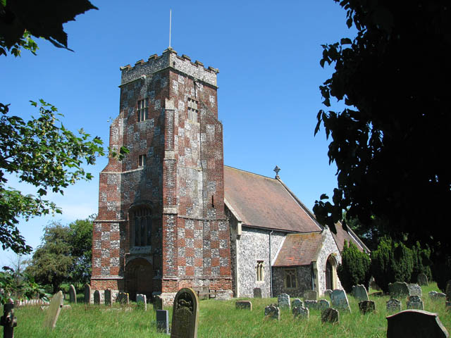
Wheatacre è un villaggio e parrocchia civile dell'Inghilterra, appartenente alla contea del Norfolk.
| Wheatacre parrocchia civile | |
|---|---|
 | |
| Localizzazione | |
| Stato | |
| Regione | Est |
| Contea | |
| Distretto | South Norfolk |
| Territorio | |
| Coordinate | 52°29′12.4″N 1°37′28.88″E |
| Superficie | 4,38 km² |
| Abitanti | 118 (2011) |
| Densità | 26,94 ab./km² |
| Altre informazioni | |
| Cod. postale | NR34 |
| Fuso orario | UTC+0 |
| Cartografia | |
 Wheatacre | |
Altri progetti
 Wikimedia Commons contiene immagini o altri file su Wheatacre
Collegamenti esterni
- (EN) Sito web istituzionale del Norfolk, su norfolk.gov.uk.
На других языках
[en] Wheatacre
Wheatacre is a civil parish in the English county of Norfolk. It covers an area of 4.38 km2 (1.69 sq mi) and had a population of 112 in 43 households at the 2001 census,[1] increasing to 118 at the 2011 Census.[2] For the purposes of local government, it falls within the district of South Norfolk- [it] Wheatacre
Текст в блоке "Читать" взят с сайта "Википедия" и доступен по лицензии Creative Commons Attribution-ShareAlike; в отдельных случаях могут действовать дополнительные условия.
Другой контент может иметь иную лицензию. Перед использованием материалов сайта WikiSort.org внимательно изучите правила лицензирования конкретных элементов наполнения сайта.
Другой контент может иметь иную лицензию. Перед использованием материалов сайта WikiSort.org внимательно изучите правила лицензирования конкретных элементов наполнения сайта.
2019-2026
WikiSort.org - проект по пересортировке и дополнению контента Википедии
WikiSort.org - проект по пересортировке и дополнению контента Википедии