world.wikisort.org - Regno_Unito
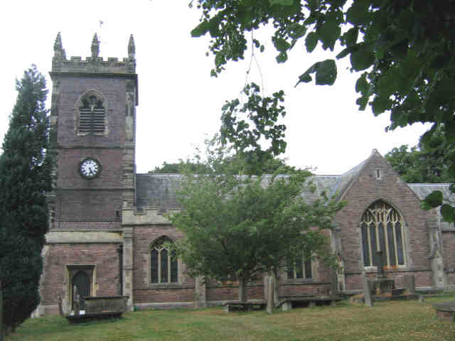
Warmingham è un villaggio e parrocchia civile dell'Inghilterra, appartenente alla contea del Cheshire.
| Warmingham parrocchia civile | |
|---|---|
 | |
| Localizzazione | |
| Stato | |
| Regione | Nord Ovest |
| Contea | |
| Distretto | Cheshire East |
| Territorio | |
| Coordinate | 53°09′00″N 2°25′59.99″W |
| Abitanti | 244 (2011) |
| Altre informazioni | |
| Cod. postale | CW11 |
| Prefisso | 01270 |
| Fuso orario | UTC+0 |
| Cartografia | |
 Warmingham | |
Altri progetti
 Wikimedia Commons contiene immagini o altri file su Warmingham
Collegamenti esterni
На других языках
[en] Warmingham
Warmingham is a village and civil parish in the unitary authority of Cheshire East and ceremonial county of Cheshire, England, on the River Wheelock (at SJ708611), 3.25 miles (5.23 km) north of Crewe, 3.25 miles (5.23 km) south of Middlewich and 3.25 miles (5.23 km) miles west of Sandbach. The parish also includes the small settlement of Lane Ends,[1] with a total population of just under 250. Nearby villages include Minshull Vernon, Moston and Wimboldsley.- [it] Warmingham
Текст в блоке "Читать" взят с сайта "Википедия" и доступен по лицензии Creative Commons Attribution-ShareAlike; в отдельных случаях могут действовать дополнительные условия.
Другой контент может иметь иную лицензию. Перед использованием материалов сайта WikiSort.org внимательно изучите правила лицензирования конкретных элементов наполнения сайта.
Другой контент может иметь иную лицензию. Перед использованием материалов сайта WikiSort.org внимательно изучите правила лицензирования конкретных элементов наполнения сайта.
2019-2025
WikiSort.org - проект по пересортировке и дополнению контента Википедии
WikiSort.org - проект по пересортировке и дополнению контента Википедии