world.wikisort.org - Regno_Unito
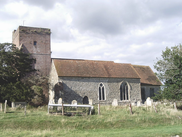
Warehorne è un villaggio e parrocchia civile dell'Inghilterra, appartenente alla contea del Kent.
| Warehorne parrocchia civile | |
|---|---|
 | |
| Localizzazione | |
| Stato | |
| Regione | Sud Est |
| Contea | |
| Distretto | Ashford |
| Territorio | |
| Coordinate | 51°03′39.24″N 0°50′06.72″E |
| Superficie | 10,66 km² |
| Abitanti | 370 (2011) |
| Densità | 34,71 ab./km² |
| Altre informazioni | |
| Cod. postale | TN26 |
| Prefisso | 01233 |
| Fuso orario | UTC+0 |
| Cartografia | |
 Warehorne | |
Altri progetti
 Wikimedia Commons contiene immagini o altri file su Warehorne
Collegamenti esterni
- (EN) Sito web del Kent, su kent.gov.uk.
На других языках
[en] Warehorne
Warehorne is a village and civil parish in the south of the Ashford Borough of Kent, England. It is a scattered community centred on the Hamstreet to Tenterden road (B2067) around seven miles SSW of Ashford. The Royal Military Canal passes through the south of the civil parish.[fr] Warehorne
Warehorne est un village et une paroisse civile situé dans le district d'Ashford dans le comté du Kent. En 2011, sa population était de 370 habitants.- [it] Warehorne
Текст в блоке "Читать" взят с сайта "Википедия" и доступен по лицензии Creative Commons Attribution-ShareAlike; в отдельных случаях могут действовать дополнительные условия.
Другой контент может иметь иную лицензию. Перед использованием материалов сайта WikiSort.org внимательно изучите правила лицензирования конкретных элементов наполнения сайта.
Другой контент может иметь иную лицензию. Перед использованием материалов сайта WikiSort.org внимательно изучите правила лицензирования конкретных элементов наполнения сайта.
2019-2025
WikiSort.org - проект по пересортировке и дополнению контента Википедии
WikiSort.org - проект по пересортировке и дополнению контента Википедии