world.wikisort.org - Regno_Unito
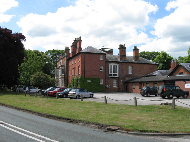
Stapeley è un villaggio e parrocchia civile dell'Inghilterra, appartenente alla contea del Cheshire.
| Stapeley parrocchia civile | |
|---|---|
 | |
| Localizzazione | |
| Stato | |
| Regione | Nord Ovest |
| Contea | |
| Distretto | Cheshire East |
| Territorio | |
| Coordinate | 53°02′34.8″N 2°29′02.4″W |
| Abitanti | 3 336 (2011) |
| Altre informazioni | |
| Cod. postale | CW5 |
| Prefisso | 01270 |
| Fuso orario | UTC+0 |
| Cartografia | |
 Stapeley | |
Altri progetti
 Wikimedia Commons contiene immagini o altri file su Stapeley
На других языках
[en] Stapeley
Stapeley is a hamlet (at SJ675496) and civil parish in the unitary authority of Cheshire East and the ceremonial county of Cheshire, England. The hamlet lies 2¼ miles to the south east of Nantwich. The parish also includes the small settlements of Broad Lane and Butt Green, and parts of Artle Brook, Haymoor Green and Howbeck Bank, as well as a recent residential development north of the A5301 adjacent to Nantwich.[1][2] In 2008, the total population was estimated to be a little under 3000, increasing to 3,336 at the 2011 Census.[3] Nearby villages include Shavington, Willaston and Wybunbury.- [it] Stapeley
Текст в блоке "Читать" взят с сайта "Википедия" и доступен по лицензии Creative Commons Attribution-ShareAlike; в отдельных случаях могут действовать дополнительные условия.
Другой контент может иметь иную лицензию. Перед использованием материалов сайта WikiSort.org внимательно изучите правила лицензирования конкретных элементов наполнения сайта.
Другой контент может иметь иную лицензию. Перед использованием материалов сайта WikiSort.org внимательно изучите правила лицензирования конкретных элементов наполнения сайта.
2019-2025
WikiSort.org - проект по пересортировке и дополнению контента Википедии
WikiSort.org - проект по пересортировке и дополнению контента Википедии