world.wikisort.org - Regno_Unito
Quedgeley è un sobborgo di Gloucester, Inghilterra, situato a sud-ovest della città. È l'unica parrocchia civile in Gloucester, ed ha una popolazione di 11800 persone.
| Quedgeley parrocchia civile | |
|---|---|
 | |
| Localizzazione | |
| Stato | |
| Regione | Sud Ovest |
| Contea | |
| Distretto | Gloucester |
| Territorio | |
| Coordinate | 51°30′N 0°08′W |
| Superficie | 1 577,3 km² |
| Abitanti | 11 800 (2008) |
| Densità | 7,48 ab./km² |
| Altre informazioni | |
| Cod. postale | GL2 |
| Prefisso | +44(0)1452 |
| Fuso orario | UTC+0 |
| Cartografia | |
 Quedgeley | |
Quedgeley Pond, un'area di terra paludosa adiacente a Clearwater Drive, regolarmente attira il frullino in inverno.
Altri progetti
 Wikimedia Commons contiene immagini o altri file su Quedgeley
Collegamenti esterni
- Quedgeley News, su quedgeleynews.com.
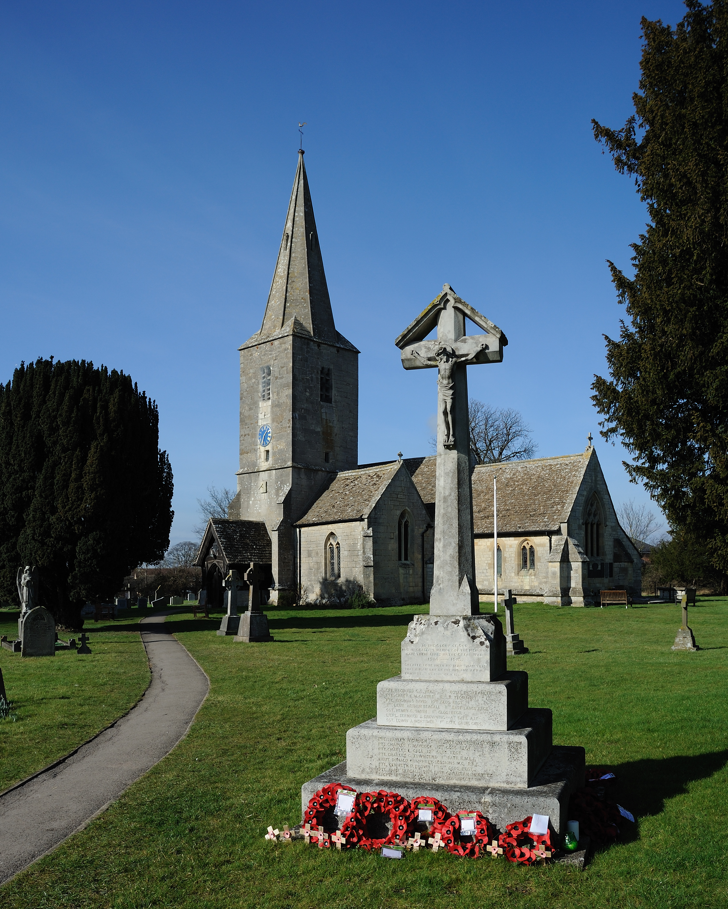
- St. James Church Quedgeley, su quedgeleychurch.org.uk.
- Quedgeley Area Conservation Association, su qaca.org.uk. URL consultato il 27 dicembre 2008 (archiviato dall'url originale il 1º agosto 2009).
На других языках
[en] Quedgeley
Quedgeley is a suburban town of Gloucester, located 3.5 miles (5.6 km) southwest of the city centre, in the county of Gloucestershire, England. A thin strip of land between the Severn and the Gloucester Ship Canal occupies the west, and the south-eastern part of the town is Kingsway Village, directly to the north of which is Tuffley.[1]- [it] Quedgeley
Текст в блоке "Читать" взят с сайта "Википедия" и доступен по лицензии Creative Commons Attribution-ShareAlike; в отдельных случаях могут действовать дополнительные условия.
Другой контент может иметь иную лицензию. Перед использованием материалов сайта WikiSort.org внимательно изучите правила лицензирования конкретных элементов наполнения сайта.
Другой контент может иметь иную лицензию. Перед использованием материалов сайта WikiSort.org внимательно изучите правила лицензирования конкретных элементов наполнения сайта.
2019-2026
WikiSort.org - проект по пересортировке и дополнению контента Википедии
WikiSort.org - проект по пересортировке и дополнению контента Википедии