world.wikisort.org - Regno_Unito
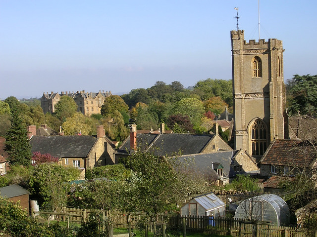
Montacute è una cittadina di 831 abitanti della contea del Somerset, in Inghilterra.
| Montacute parrocchia civile | |
|---|---|
 | |
| Localizzazione | |
| Stato | |
| Regione | Sud Ovest |
| Contea | |
| Distretto | South Somerset |
| Territorio | |
| Coordinate | 50°57′00″N 2°43′12″W |
| Abitanti | 831 (2001) |
| Altre informazioni | |
| Cod. postale | TA15 |
| Prefisso | 01935 |
| Fuso orario | UTC+0 |
| Cartografia | |
 Montacute | |
Altri progetti
 Wikimedia Commons contiene immagini o altri file su Montacute
| Controllo di autorità | VIAF (EN) 123407854 · LCCN (EN) nb2005018156 |
|---|
На других языках
[en] Montacute
Montacute is a village and civil parish in Somerset, England, 4 miles (6.4 km) west of Yeovil. The village has a population of 831 (2011 census).[1] The name Montacute is thought by some to derive from the Latin "Mons Acutus", referring to the conically acute St Michael's Hill dominating the village to the west. An alternative view is that it is named after Drogo de Montagu, whose family originated from Montaigu-les-Bois, in the arrondissement of Coutances. Mortain held Montacute after 1066, Drogo was a close associate.- [it] Montacute (Somerset)
Текст в блоке "Читать" взят с сайта "Википедия" и доступен по лицензии Creative Commons Attribution-ShareAlike; в отдельных случаях могут действовать дополнительные условия.
Другой контент может иметь иную лицензию. Перед использованием материалов сайта WikiSort.org внимательно изучите правила лицензирования конкретных элементов наполнения сайта.
Другой контент может иметь иную лицензию. Перед использованием материалов сайта WikiSort.org внимательно изучите правила лицензирования конкретных элементов наполнения сайта.
2019-2025
WikiSort.org - проект по пересортировке и дополнению контента Википедии
WikiSort.org - проект по пересортировке и дополнению контента Википедии