world.wikisort.org - Regno_Unito
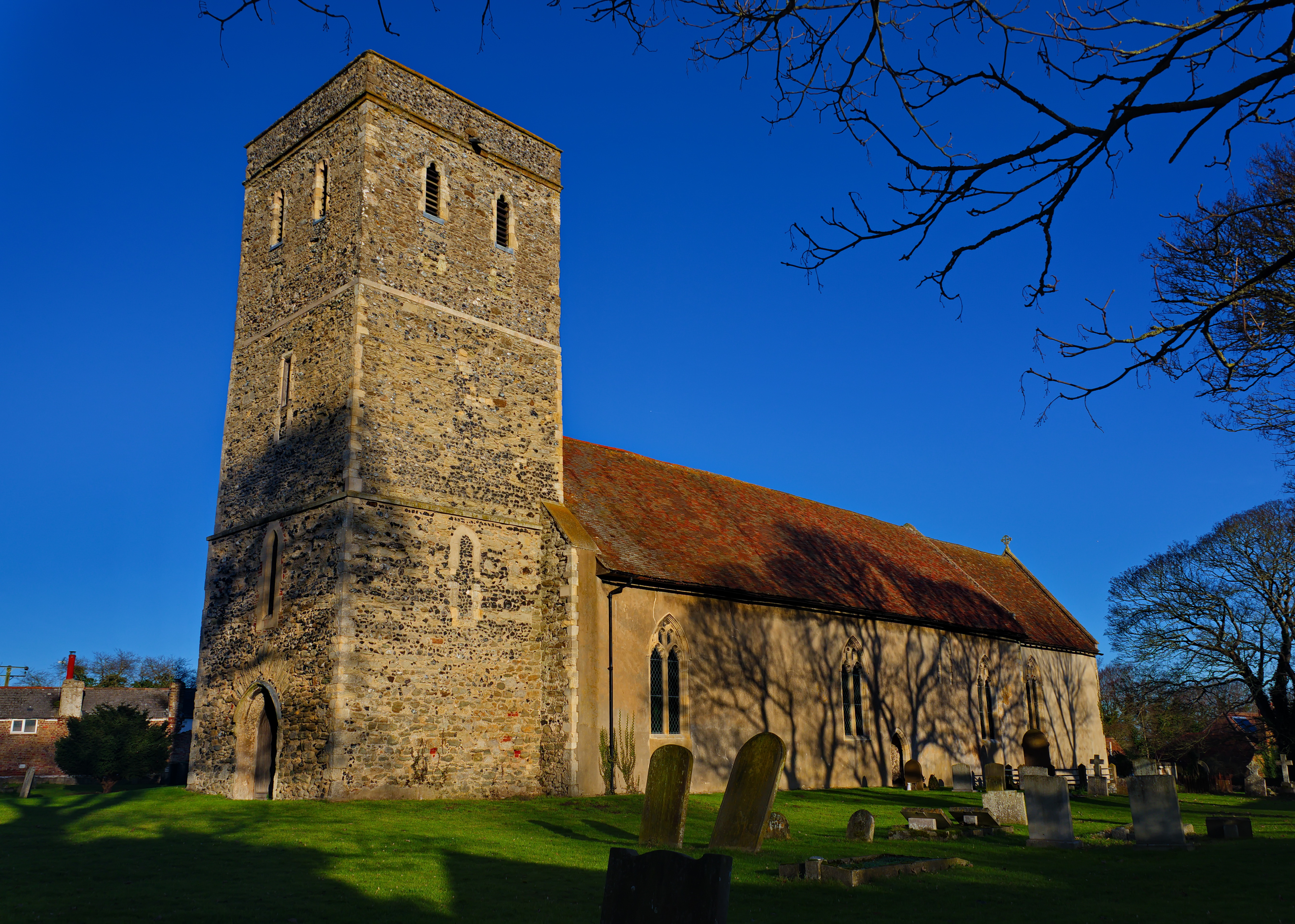
Monkton è un villaggio e parrocchia civile dell'Inghilterra, appartenente alla contea del Kent.
| Monkton parrocchia civile | |
|---|---|
 | |
| Localizzazione | |
| Stato | |
| Regione | Sud Est |
| Contea | |
| Distretto | Thanet |
| Territorio | |
| Coordinate | 51°20′16.44″N 1°16′54.12″E |
| Abitanti | 661 (2011) |
| Altre informazioni | |
| Cod. postale | CT12 |
| Prefisso | 01843 |
| Fuso orario | UTC+0 |
| Cartografia | |
 Monkton | |
Altri progetti
 Wikimedia Commons contiene immagini o altri file su Monkton (Kent)
Collegamenti esterni
- (EN) Sito web del Kent, su kent.gov.uk.
На других языках
[en] Monkton, Kent
Monkton is a village and civil parish in the Thanet District of Kent, England. The village is located at the south-west edge of the Isle of Thanet and is situated mainly along the B2047 road, leading off the A253 road between Canterbury and Ramsgate. The civil parish stretches south to the River Stour and northwards towards Acol.[2] The hamlet of Gore Street is included in the parish.- [it] Monkton (Kent)
Текст в блоке "Читать" взят с сайта "Википедия" и доступен по лицензии Creative Commons Attribution-ShareAlike; в отдельных случаях могут действовать дополнительные условия.
Другой контент может иметь иную лицензию. Перед использованием материалов сайта WikiSort.org внимательно изучите правила лицензирования конкретных элементов наполнения сайта.
Другой контент может иметь иную лицензию. Перед использованием материалов сайта WikiSort.org внимательно изучите правила лицензирования конкретных элементов наполнения сайта.
2019-2025
WikiSort.org - проект по пересортировке и дополнению контента Википедии
WikiSort.org - проект по пересортировке и дополнению контента Википедии