world.wikisort.org - Regno_Unito
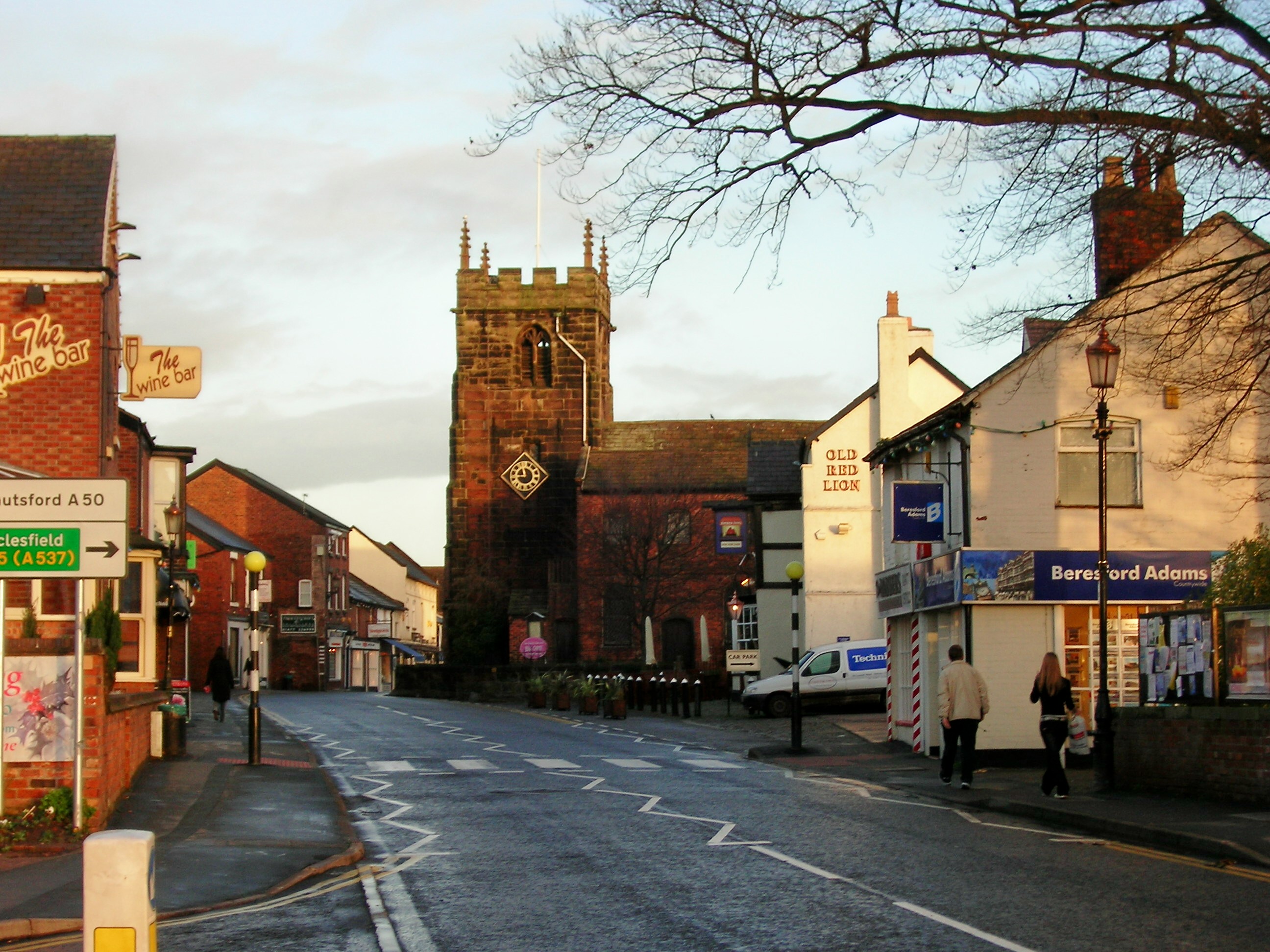
Holmes Chapel è una cittadina dell'Inghilterra centrale, situata nella contea del Cheshire, circa 30 chilometri a sud di Manchester. Al censimento 2001, la popolazione era di 5.669 abitanti[2].
| Holmes Chapel distretto | |
|---|---|
 | |
| Localizzazione | |
| Stato | |
| Regione | Cheshire |
| Contea | Cheshire East |
| Territorio | |
| Coordinate | 53°12′14.4″N 2°21′10.8″W |
| Altitudine | 63 m s.l.m. |
| Abitanti | 5 669[1] (Censimento 2001) |
| Altre informazioni | |
| Cod. postale | CW4 |
| Prefisso | 01477 |
| Fuso orario | UTC+0 |
| ISO 3166-2 | CW4 |
| Codice ONS | CREWE |
| Cl. sismica | 3 |
| Cartografia | |
 Holmes Chapel | |
 | |
La cittadina è gemellata con la località francese di Bessancourt.
Note
- Censimento 2001
- (EN) Censimento 2001 - Holmes Chapel.
Altri progetti
 Wikimedia Commons contiene immagini o altri file su Holmes Chapel
| Controllo di autorità | VIAF (EN) 130188987 · LCCN (EN) n80148086 · WorldCat Identities (EN) lccn-n80148086 |
|---|
На других языках
[en] Holmes Chapel
Holmes Chapel is a large village and civil parish in the unitary authority area of Cheshire East and the ceremonial county of Cheshire, England. Until 1974 the parish was known as Church Hulme.[2] Holmes Chapel is about 8 miles (13 km) north of Crewe and 21 miles (34 km) south of Manchester.- [it] Holmes Chapel
Текст в блоке "Читать" взят с сайта "Википедия" и доступен по лицензии Creative Commons Attribution-ShareAlike; в отдельных случаях могут действовать дополнительные условия.
Другой контент может иметь иную лицензию. Перед использованием материалов сайта WikiSort.org внимательно изучите правила лицензирования конкретных элементов наполнения сайта.
Другой контент может иметь иную лицензию. Перед использованием материалов сайта WikiSort.org внимательно изучите правила лицензирования конкретных элементов наполнения сайта.
2019-2026
WikiSort.org - проект по пересортировке и дополнению контента Википедии
WikiSort.org - проект по пересортировке и дополнению контента Википедии