world.wikisort.org - Regno_Unito
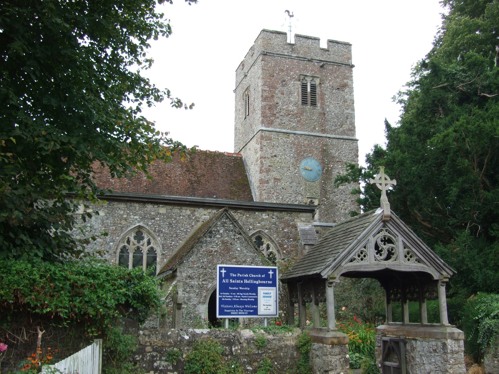
Hollingbourne è un villaggio e parrocchia civile dell'Inghilterra, appartenente alla contea del Kent.
| Hollingbourne parrocchia civile | |
|---|---|
 | |
| Localizzazione | |
| Stato | |
| Regione | Sud Est |
| Contea | |
| Distretto | Maidstone |
| Territorio | |
| Coordinate | 51°16′03″N 0°38′28″E |
| Abitanti | 949 (2011) |
| Altre informazioni | |
| Cod. postale | ME17 |
| Prefisso | 01622 |
| Fuso orario | UTC+0 |
| Cartografia | |
 Hollingbourne | |
| Sito istituzionale | |
Altri progetti
 Wikimedia Commons contiene immagini o altri file su Hollingbourne
Collegamenti esterni
- Sito ufficiale, su hollingbournepc.kentparishes.gov.uk.
- (EN) Sito web del Kent, su kent.gov.uk.
На других языках
[en] Hollingbourne
Hollingbourne is a village and civil parish in the borough of Maidstone in Kent, England. The parish is located on the southward slope of the North Downs to the east of the county town, Maidstone. The parish population is around 900 and has three conservation areas: Upper Street in the village centre and the outlying hamlets of Broad Street and Eyhorne Street.[3][4][5]- [it] Hollingbourne
Текст в блоке "Читать" взят с сайта "Википедия" и доступен по лицензии Creative Commons Attribution-ShareAlike; в отдельных случаях могут действовать дополнительные условия.
Другой контент может иметь иную лицензию. Перед использованием материалов сайта WikiSort.org внимательно изучите правила лицензирования конкретных элементов наполнения сайта.
Другой контент может иметь иную лицензию. Перед использованием материалов сайта WikiSort.org внимательно изучите правила лицензирования конкретных элементов наполнения сайта.
2019-2026
WikiSort.org - проект по пересортировке и дополнению контента Википедии
WikiSort.org - проект по пересортировке и дополнению контента Википедии