world.wikisort.org - Regno_Unito
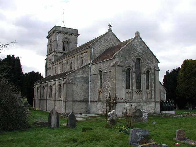
Farrington Gurney è un villaggio e parrocchia civile dell'Inghilterra, appartenente alla contea del Somerset.
| Farrington Gurney parrocchia civile | |
|---|---|
 | |
| Localizzazione | |
| Stato | |
| Regione | Sud Ovest |
| Contea | |
| Distretto | Bath and North East Somerset |
| Territorio | |
| Coordinate | 51°17′55.32″N 2°31′57.72″W |
| Abitanti | 901 (2011) |
| Altre informazioni | |
| Cod. postale | BS39 |
| Fuso orario | UTC+0 |
| Cartografia | |
 Farrington Gurney | |
Altri progetti
 Wikimedia Commons contiene immagini o altri file su Farrington Gurney
Collegamenti esterni
- (EN) Sito web istituzionale del Somerset, su somerset.gov.uk.
На других языках
[en] Farrington Gurney
Farrington Gurney is a village and civil parish in Somerset, England located at the foot of the Mendip Hills on the junction of the A37 and A362. It has a population of 901.[1]- [it] Farrington Gurney
Текст в блоке "Читать" взят с сайта "Википедия" и доступен по лицензии Creative Commons Attribution-ShareAlike; в отдельных случаях могут действовать дополнительные условия.
Другой контент может иметь иную лицензию. Перед использованием материалов сайта WikiSort.org внимательно изучите правила лицензирования конкретных элементов наполнения сайта.
Другой контент может иметь иную лицензию. Перед использованием материалов сайта WikiSort.org внимательно изучите правила лицензирования конкретных элементов наполнения сайта.
2019-2025
WikiSort.org - проект по пересортировке и дополнению контента Википедии
WikiSort.org - проект по пересортировке и дополнению контента Википедии