world.wikisort.org - Regno_Unito
L'Est dell'Inghilterra (East of England in inglese) è una delle regioni ufficiali inglesi. La sua popolazione al censimento del 2001 era di 5.388.140 abitanti. Confina con il Wash a nord, il Mare del Nord a est e la regione Sud Est a sud e a ovest, Grande Londra a sud-ovest e Midlands Orientali a nord-ovest. East of England LGA è il coordinamento delle autorità locali.
| Est dell'Inghilterra regione | |
|---|---|
| East of England | |
 | |
| Localizzazione | |
| Stato | |
| Amministrazione | |
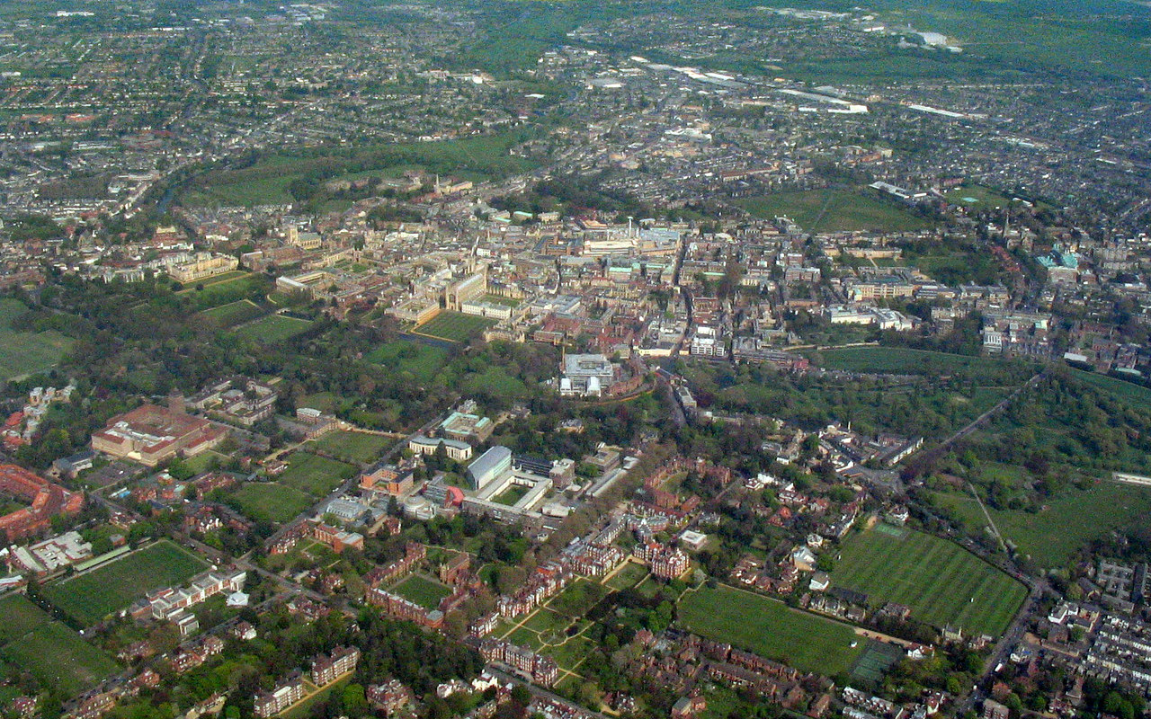
| Capoluogo | Cambridge |
| Data di istituzione | 1994 |
| Territorio | |
| Coordinate del capoluogo | 52°12′00″N 0°07′12″E |
| Superficie | 19 108,38 km² |
| Abitanti | 5 846 965[1] (2011) |
| Densità | 305,99 ab./km² |
| Altre informazioni | |
| Fuso orario | UTC+0 |
| Codice ONS | E12000006 |
| PIL procapite | (nominale) 16 086 £ |
| Cartografia | |
 | |
| Sito istituzionale | |
La regione fu creata alla fine degli anni 1990 unendo le contee dell'Essex, dell'Hertfordshire e del Bedfordshire, in precedenza parte della regione Sud Est, con la regione tradizionale dell'East Anglia. Le nuove regioni non sono ancora molto comprese o usate dalla gente. Il governo laburista ha tentato di introdurre le assemblee regionali in Inghilterra, ma il piano è stato abbandonato dopo la sconfitta nel referendum tenutosi nel 2004 nella regione Nord Est con un margine di 78% a 22%. Di conseguenza, l'"Est dell'Inghilterra" come un concetto amministrativo è poco familiare al pubblico, più consono a comprendere le designazioni tradizionali di Anglia Orientale e Sud Est.
Suddivisioni
| Mappa | Contea cerimoniale | Contea / Autorità unitaria | Distretti |
|---|---|---|---|
 | Essex | 1. Thurrock | |
| 2. Southend-on-Sea | |||
| 3. Essex | Harlow, Epping Forest, Brentwood, Basildon, Castle Point, Rochford, Maldon, Chelmsford, Uttlesford, Braintree, Colchester, Tendring | ||
| 4. Hertfordshire | Three Rivers, Watford, Hertsmere, Welwyn Hatfield, Broxbourne, East Hertfordshire, Stevenage, North Hertfordshire, St Albans, Dacorum | ||
| Bedfordshire | 5. Luton | ||
| 6. Bedfordshire | Bedford, Mid Bedfordshire, South Bedfordshire | ||
| Cambridgeshire | 7. Cambridgeshire | Cambridge, South Cambridgeshire, Huntingdonshire, Fenland, East Cambridgeshire | |
| 8. Peterborough | |||
| 9. Norfolk | Norwich, South Norfolk, Great Yarmouth, Broadland, North Norfolk, King's Lynn and West Norfolk, Breckland | ||
| 10. Suffolk | Ipswich, Suffolk Coastal, Waveney, Mid Suffolk, Babergh, St Edmundsbury, Forest Heath | ||
Originariamente era stata definita come costituita dalle contee dell'Essex, dell'Hertfordshire, del Bedfordshire, del Cambridgeshire, del Norfolk e del Suffolk. La lista sopra comprende le autorità unitarie ricavate da queste contee nella riforma amministrativa degli anni 1990.
Note
- (EN) Dati forniti dall'Istituto Statistico Britannico (XLS), su ons.gov.uk. URL consultato l'11 dicembre 2012.
Altri progetti
 Wikimedia Commons contiene immagini o altri file su Est dell'Inghilterra
 Wikivoyage contiene informazioni turistiche su Est dell'Inghilterra
Collegamenti esterni
- Statistiche, su statistics.gov.uk. URL consultato il 1º marzo 2005 (archiviato dall'url originale il 5 giugno 2002).
- Government Office for the East of England - GO-East
- East of England Development Agency Archiviato il 12 marzo 2012 in Internet Archive. - EEDA
- East of England Regional Assembly, su eera.gov.uk. URL consultato il 1º marzo 2005 (archiviato dall'url originale il 18 luglio 2006).
На других языках
[en] East of England
The East of England is one of the nine official regions of England. This region was created in 1994 and was adopted for statistics purposes from 1999. It includes the ceremonial counties of Bedfordshire, Cambridgeshire, Essex, Hertfordshire, Norfolk and Suffolk. Essex has the highest population in the region.[1]- [it] Est dell'Inghilterra
[ru] Восточная Англия
Восточная Англия (англ. East of England) — регион на востоке Англии. Включает шесть церемониальных графств, а также несколько унитарных и муниципальных районов. Административный центр — Кембридж. Крупнейший город — Лутон (185 тысяч человек)[1].Другой контент может иметь иную лицензию. Перед использованием материалов сайта WikiSort.org внимательно изучите правила лицензирования конкретных элементов наполнения сайта.
WikiSort.org - проект по пересортировке и дополнению контента Википедии