world.wikisort.org - Regno_Unito
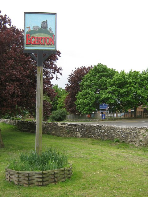
Egerton è un villaggio e parrocchia civile dell'Inghilterra, appartenente alla contea del Kent.
| Egerton parrocchia civile | |
|---|---|
 | |
| Localizzazione | |
| Stato | |
| Regione | Sud Est |
| Contea | |
| Distretto | Ashford |
| Territorio | |
| Coordinate | 51°11′37.68″N 0°43′48.72″E |
| Superficie | 12,38 km² |
| Abitanti | 1 073 (2011) |
| Densità | 86,67 ab./km² |
| Altre informazioni | |
| Cod. postale | TN27 |
| Prefisso | 01233 |
| Fuso orario | UTC+0 |
| Cartografia | |
 Egerton | |
Altri progetti
 Wikimedia Commons contiene immagini o altri file su Egerton (Kent)
Collegamenti esterni
- (EN) Sito web del Kent, su kent.gov.uk.
На других языках
[en] Egerton, Kent
Egerton is a village and civil parish in the Ashford District of Kent, England. The village is on the Greensand Ridge 9 miles (14.4 km) north of Ashford and stretches three miles south into a lower plain towards the West Stour. The parish is a relatively scattered rural one; the settlement of Stonebridge Green, adjacent to Egerton village centre, is also in the parish.[fr] Egerton (Kent)
Egerton (prononciation: è-djeu-tone) est un village et un Civil parish du district d'Ashford, dans le Kent, au Royaume-Uni. Le village comptait 1 073 habitants en 2014[1].- [it] Egerton (Kent)
Текст в блоке "Читать" взят с сайта "Википедия" и доступен по лицензии Creative Commons Attribution-ShareAlike; в отдельных случаях могут действовать дополнительные условия.
Другой контент может иметь иную лицензию. Перед использованием материалов сайта WikiSort.org внимательно изучите правила лицензирования конкретных элементов наполнения сайта.
Другой контент может иметь иную лицензию. Перед использованием материалов сайта WikiSort.org внимательно изучите правила лицензирования конкретных элементов наполнения сайта.
2019-2025
WikiSort.org - проект по пересортировке и дополнению контента Википедии
WikiSort.org - проект по пересортировке и дополнению контента Википедии