world.wikisort.org - Regno_Unito
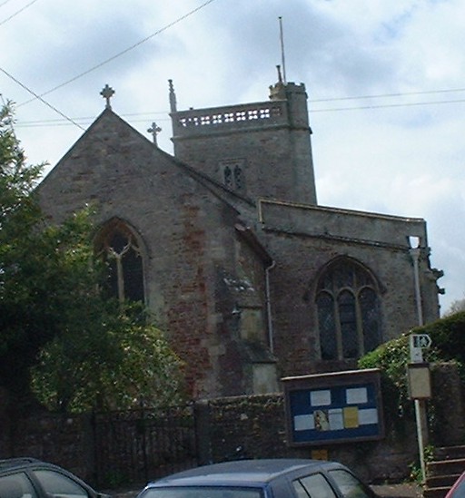
East Harptree è un villaggio e parrocchia civile dell'Inghilterra, appartenente alla contea del Somerset che comprende anche il piccolo borgo di Coley. Si trova a 8,0 km a nord di Wells e 24,1 km a sud di Bristol, sul versante settentrionale delle Mendip Hills. La parrocchia ha una popolazione di 644 abitanti.[1]
| East Harptree parrocchia civile | |
|---|---|
 | |
| Localizzazione | |
| Stato | |
| Regione | Sud Ovest |
| Contea | |
| Distretto | Bath and North East Somerset |
| Territorio | |
| Coordinate | 51°18′01.8″N 2°37′18.48″W |
| Abitanti | 644 (2011) |
| Altre informazioni | |
| Cod. postale | BS40 |
| Prefisso | 01761 |
| Fuso orario | UTC+0 |
| Cartografia | |
 East Harptree | |
Note
- Local statistics - Office for National Statistics, su ons.gov.uk. URL consultato il 10 febbraio 2020.
Altri progetti
 Wikimedia Commons contiene immagini o altri file su East Harptree
Collegamenti esterni
- (EN) Sito web istituzionale del Somerset, su somerset.gov.uk.
На других языках
[en] East Harptree
East Harptree is a village and civil parish in Somerset, England. It is situated 5 miles (8.0 km) north of Wells and 15 miles (24.1 km) south of Bristol, on the northern slope of the Mendip Hills overlooking the Chew Valley. The parish has a population of 644.[1] The parish includes the hamlet of Coley.- [it] East Harptree
Текст в блоке "Читать" взят с сайта "Википедия" и доступен по лицензии Creative Commons Attribution-ShareAlike; в отдельных случаях могут действовать дополнительные условия.
Другой контент может иметь иную лицензию. Перед использованием материалов сайта WikiSort.org внимательно изучите правила лицензирования конкретных элементов наполнения сайта.
Другой контент может иметь иную лицензию. Перед использованием материалов сайта WikiSort.org внимательно изучите правила лицензирования конкретных элементов наполнения сайта.
2019-2025
WikiSort.org - проект по пересортировке и дополнению контента Википедии
WikiSort.org - проект по пересортировке и дополнению контента Википедии