world.wikisort.org - Regno_Unito
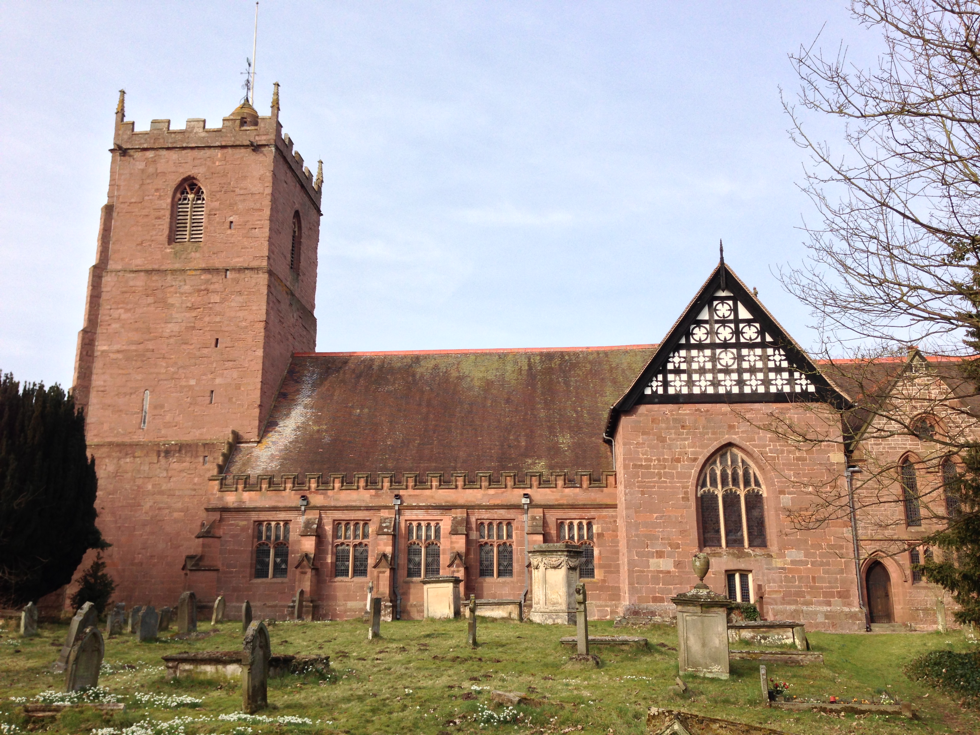
Condover è un villaggio e parrocchia civile dell'Inghilterra, appartenente alla contea dello Shropshire.
| Condover parrocchia civile | |
|---|---|
 | |
| Localizzazione | |
| Stato | |
| Regione | Midlands Occidentali |
| Contea | |
| Distretto | Shropshire |
| Territorio | |
| Coordinate | 52°38′52.8″N 2°45′00″W |
| Abitanti | 1 957 (2011) |
| Altre informazioni | |
| Cod. postale | SY3 |
| Prefisso | 01743 |
| Fuso orario | UTC+0 |
| Cartografia | |
 Condover | |
| Sito istituzionale | |
Altri progetti
 Wikimedia Commons contiene immagini o altri file su Condover
Collegamenti esterni
- Sito ufficiale, su condoverpc.org.uk.
- (EN) Sito web istituzionale dello Shropshire, su shropshire.gov.uk.
На других языках
[en] Condover
Condover is a village and civil parish in Shropshire, England. It is about 5 miles (8 km) south of the county town of Shrewsbury, and just east of the A49. The Cound Brook flows through the village on its way from the Stretton Hills to a confluence with the River Severn. Condover is near to the villages of Dorrington, Bayston Hill and Berrington. The population of the Condover parish was estimated as 1,972 for 2008, of which an estimated 659 live in the village of Condover itself.[2] The actual population measured at the 2011 census had fallen to 1,957.- [it] Condover
Текст в блоке "Читать" взят с сайта "Википедия" и доступен по лицензии Creative Commons Attribution-ShareAlike; в отдельных случаях могут действовать дополнительные условия.
Другой контент может иметь иную лицензию. Перед использованием материалов сайта WikiSort.org внимательно изучите правила лицензирования конкретных элементов наполнения сайта.
Другой контент может иметь иную лицензию. Перед использованием материалов сайта WikiSort.org внимательно изучите правила лицензирования конкретных элементов наполнения сайта.
2019-2025
WikiSort.org - проект по пересортировке и дополнению контента Википедии
WikiSort.org - проект по пересортировке и дополнению контента Википедии