world.wikisort.org - Regno_Unito
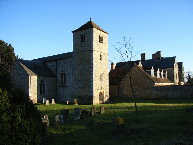
Chetwode è un villaggio e parrocchia civile dell'Inghilterra, appartenente alla contea del Buckinghamshire.
| Chetwode parrocchia civile | |
|---|---|
 | |
| Localizzazione | |
| Stato | |
| Regione | Sud Est |
| Contea | |
| Distretto | Aylesbury Vale |
| Territorio | |
| Coordinate | 51°57′36″N 1°03′57.6″W |
| Abitanti | 173 (2011) |
| Altre informazioni | |
| Cod. postale | MK18 |
| Prefisso | 01280 |
| Fuso orario | UTC+0 |
| Cartografia | |
 Chetwode | |
Altri progetti
 Wikimedia Commons contiene immagini o altri file su Chetwode
На других языках
[en] Chetwode
Chetwode is a village and civil parish about 4 miles (6.4 km) southwest of Buckingham in the Aylesbury Vale district of Buckinghamshire. The parish is bounded to the southwest and southeast by a brook called The Birne, which here also forms part of the county boundary with Oxfordshire.- [it] Chetwode
Текст в блоке "Читать" взят с сайта "Википедия" и доступен по лицензии Creative Commons Attribution-ShareAlike; в отдельных случаях могут действовать дополнительные условия.
Другой контент может иметь иную лицензию. Перед использованием материалов сайта WikiSort.org внимательно изучите правила лицензирования конкретных элементов наполнения сайта.
Другой контент может иметь иную лицензию. Перед использованием материалов сайта WikiSort.org внимательно изучите правила лицензирования конкретных элементов наполнения сайта.
2019-2026
WikiSort.org - проект по пересортировке и дополнению контента Википедии
WikiSort.org - проект по пересортировке и дополнению контента Википедии