world.wikisort.org - United_Kingdom
St Leonards is a village in south east Dorset, England, situated on the A31 road approximately 2.5 miles (4.0 km) south-west of Ringwood, Hampshire, 8 miles (13 km) north of Bournemouth and 3 miles (4.8 km) north-east of Ferndown. With adjacent St Ives and Ashley Heath, it forms the civil parish of St Leonards and St Ives, which had a population of 6,859 in 2011.
| St Leonards | |
|---|---|
| Village | |
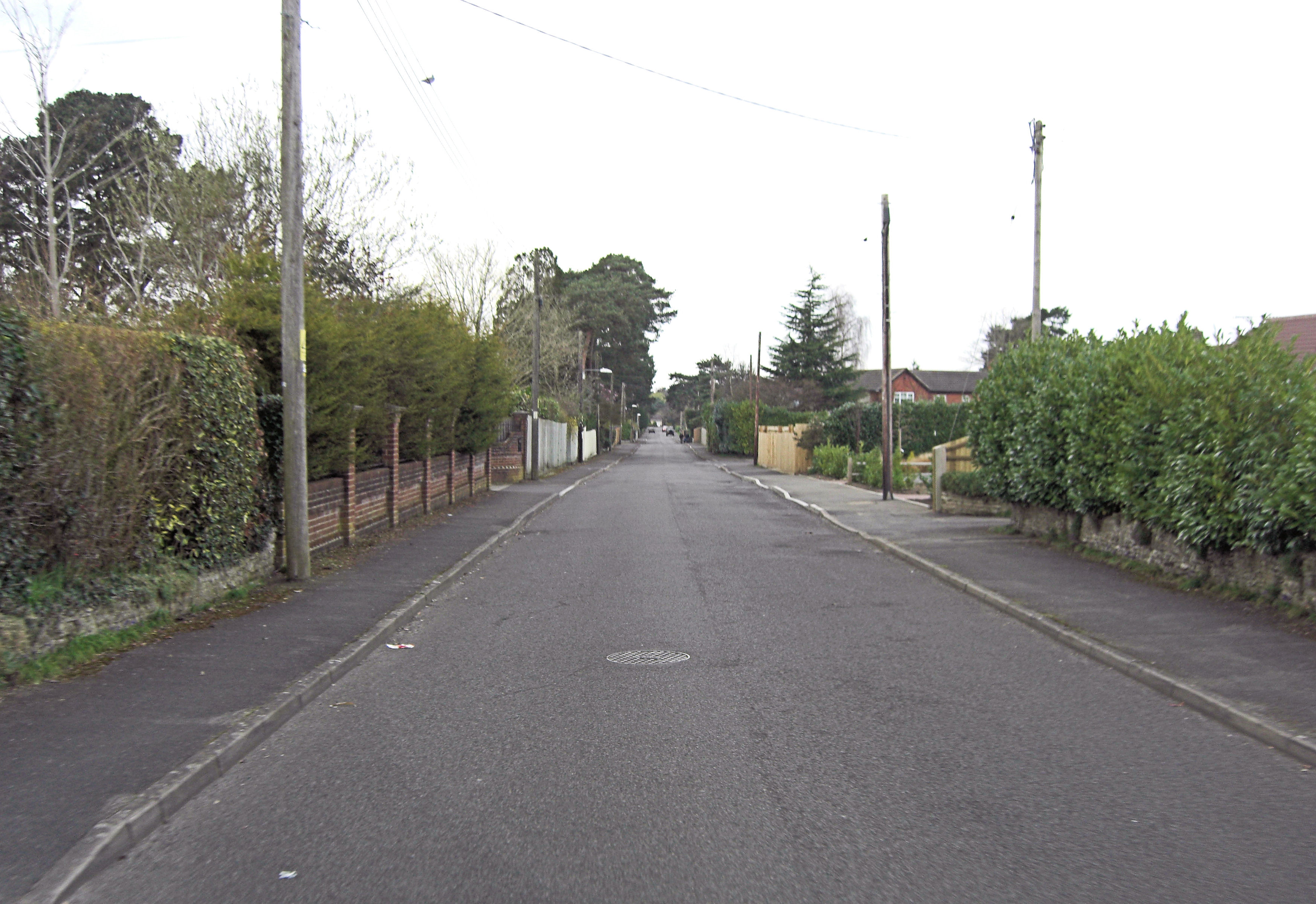 Braeside Road | |
 St Leonards Location within Dorset | |
| Area | 9.58 sq mi (24.8 km2) |
| Population | 6,859 (2011) |
| • Density | 716/sq mi (276/km2) |
| OS grid reference | SU115034 |
| Civil parish |
|
| Unitary authority |
|
| Shire county | |
| Region | |
| Country | England |
| Sovereign state | United Kingdom |
| Post town | RINGWOOD |
| Postcode district | BH24 |
| Dialling code | 01425 |
| Police | Dorset |
| Fire | Dorset and Wiltshire |
| Ambulance | South Western |
| UK Parliament |
|
For the youth there is a youth club for ages 10–18 on a Monday and Wednesday, situated in Braeside Park near the village hall and by the scout hut.


External links
Wikimedia Commons has media related to St Leonards, Dorset.
This Dorset location article is a stub. You can help Wikipedia by expanding it. |
| Unitary authorities |
|
|---|---|
| Major settlements |
|
| Rivers | |
| Topics |
|
Текст в блоке "Читать" взят с сайта "Википедия" и доступен по лицензии Creative Commons Attribution-ShareAlike; в отдельных случаях могут действовать дополнительные условия.
Другой контент может иметь иную лицензию. Перед использованием материалов сайта WikiSort.org внимательно изучите правила лицензирования конкретных элементов наполнения сайта.
Другой контент может иметь иную лицензию. Перед использованием материалов сайта WikiSort.org внимательно изучите правила лицензирования конкретных элементов наполнения сайта.
2019-2025
WikiSort.org - проект по пересортировке и дополнению контента Википедии
WikiSort.org - проект по пересортировке и дополнению контента Википедии