world.wikisort.org - United_Kingdom
South Witham is a village and civil parish in the South Kesteven district of Lincolnshire, England.[1][2] The population of the civil parish at the 2011 census was 1,533.[3] It is situated 10 miles (16 km) south of Grantham, 10 miles east of Melton Mowbray and 10 miles (16 km) north of Oakham. The village is close to the Leicestershire and Rutland borders.
| South Witham | |
|---|---|
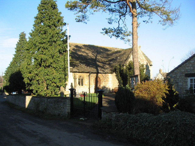 St John the Baptist Church, South Witham | |
 South Witham Location within Lincolnshire | |
| Population | 1,533 (2011) |
| OS grid reference | SK925192 |
| • London | 90 mi (140 km) S |
| District | |
| Shire county | |
| Region | |
| Country | England |
| Sovereign state | United Kingdom |
| Post town | Grantham |
| Postcode district | NG33 |
| Police | Lincolnshire |
| Fire | Lincolnshire |
| Ambulance | East Midlands |
| UK Parliament |
|
History
The village takes its name from the River Witham which rises nearby. But the origin of the word Witham is still unknown.[4] The village has until recently also been spelt as "South Wytham".[citation needed]
In 1966, the Royal Air Force built a large housing estate on the opposite side of the River Witham. The houses were intended for servicemen at RAF Cottesmore, but were taken instead by personnel at RAF North Luffenham. The village trebled in size virtually overnight, and the primary school was similarly increased in size. A NAAFI was provided for the forces' families.[citation needed]
On 2 August 1973, Canberra B2 WJ674 of 231 OCU crashed in the field east of The Fox public house, near Woodbine Farm in North Witham parish. Two of the aircrew ejected successfully, Flt.Lt. T.M.Murray (Nav), survived, but the pilot, Flt. Lt. D.J.Dennis, was killed.[5][6]
In 2010 a plan for a super-dairy with almost 3,000 cows was withdrawn after concerns expressed by residents.[7]
Geography
South Witham is bisected by the River Witham, about 3 miles (4.8 km) to the east of its source. It is the point on the A1 where it enters Lincolnshire from the south, near The Fox Inn. The parish of 1,770 acres (7 km2) acres borders Thistleton and Rutland to the south, and the boundary to the west meets Wymondham, Leicestershire at Thistleton Gap. The parish includes the Forty Acre Wood to the north-west, where it borders Gunby. The boundary goes due east to meet North Witham parish at the first undulation in the road northwards.

Crossing the road, the boundary goes due eastwards to meet the A1, which it then follows due south on the east side of the road. The boundary goes through The Fox, with North Witham parish to the east, to a point just south of the A1 interchange. The A1 was upgraded in early August 1971, through Rutland, to Tickencote (built by Rutland County Council). Before the road was improved, the South Witham crossroads on the A1 lay at the point where the sliproads join today.

Nearby to the south was RAF Cottesmore, and the village was the centre of the flight path circuit.
Economy

On the road to Wymondham is a limestone quarry owned by Breedon Aggregates, containing around 3.2 million tonnes of limestone. Ennstone Johnston bought the quarry for £1.5 million in April 2004 from GRS.[citation needed] Close by to the north is a former ironstone quarry. Other companies based in the village include Compressed Air Plant, Auriga, Petlife International and Clever Cooks. In the parish on the northbound A1 is the Grantham South Witham Travelodge. One village public house is the Blue Cow in the High Street and the other is The Angel near the village church
Railway
There was once a South Witham railway station which is now closed. The line went from Melton, via Bourne, to Spalding. In 1898 a branch line was built from the railway (near to the quarry) to Buckminster to transport iron ore for the Holwell Iron Company, later the Appleby-Frodingham Steel Company, and ran parallel to Sewstern Lane.
Church
The church is dedicated to St John the Baptist and included in the Withams Group of Churches of North Witham, Stainby and Gunby. In the 19th century the vicar was Ralph Tollemache, nephew of Lord Frederick Tollemache. He built the primary school in 1879. His eldest son, Sir Lyonel Felix Carteret Eugene Tollemache, 4th Baronet born in 1854, became Lord Tollemache in 1935.[citation needed]
There were two chapels – a Methodist and Congregationalist (now known nationally as the United Reformed Church). One chapel on Thistleton Road became a vintage motorcycle museum.[citation needed] The owner later claimed to be Britain's safest driver,[8] having taken to the wheel in 1925 (at the age of 15), and buying his first car, a Willys Overland Crossley Whippet in 1935 for £2.50. He sold his collection of eighty 1920s and 1930s motorcycles in March 2003.[9]
Archaeology

The parish is one of Lincolnshire's Knights Templar preceptories.[10] Temple Hill was investigated by the Society for Medieval Archaeology in 2002.[citation needed]
Lincolnshire preceptories
Until their disbandment in 1312, the Knights Templar were major landowners on the higher lands of Lincolnshire, where they had a number of preceptories on property which provided income, while Temple Bruer was an estate on the Lincoln Heath, believed to have been used also for military training.[11] The preceptories from which the Lincolnshire properties were managed were:[12]
- Aslackby Preceptory, Kesteven (TF0830)
- Bottesford, Lindsey (SE8907)
- Eagle, Kesteven (SK875672)
- Great Limber, Lindsey (TA1308)
- Horkstow, Lindsey (SE9818)
- Witham Preceptory, Kesteven (SK928205)
- Temple Bruer, Kesteven (TF0054)
- Willoughton Preceptory, Lindsey (SK923931)
- Byard's Leap (SK990494) was part of the Temple Bruer estate.
Community
The village focuses on two centres: around the church and around the former MOD housing estate.
The ecclesiastical parish South Witham is part of the Witham Group of the Deanery of Beltisloe in the Diocese of Lincoln. The incumbent is the Revd Dr Tom Broadbent.[13]
The village primary school is in Water Lane.[14] The school's 2011 Ofsted rating was Grade 2 (good).[15] Older children are bussed out of the village to school.
The village magazine, Witham Word, is published monthly on the web.[1]
The village is the terminus of the No. 28 bus route from Grantham, which provides a daily service.[16][17]
Notable people
See also
- Blue pubs
References
- "South Witham web site". South Witham parish council. Retrieved 1 June 2013.
- "Parish council". Retrieved 1 June 2013.
- "Civil Parish population 23011". Neighbourhood Statistics. Office for National Statistics. Retrieved 30 May 2016.
- Mills, A.D. (2003). Oxford dictionary of British placenames. Oxford University Press. ISBN 978-0-19-852758-9.
a Celtic or pre-Celtic river-name of uncertain origin
- "UK military aircraft losses". UK serials resource centre. Wolverhampton Aviation Group. 2 August 1973. Retrieved 1 June 2013.
- Smith, Dr. John (8 April 2013). "English Electric Canberra B.2". ASN Wikibase Occurrence # 21106. Aviation safety network. Retrieved 1 June 2013.
- "Plan for South Witham super dairy farm dropped". BBC News. Lincolnshire. 17 June 2010.
"Possibly more intensive farming like this will be the future":Martin Witham; Parish Council chairman
- Telegraph – Britain's safest driver
- Motorcycle museum
- Historic England. "Preceptory site (Grade Scheduled) (1007688)". National Heritage List for England. Retrieved 1 June 2013.
- Ward, Penny (2009). Dennis Mills (2nd ed.) (ed.). The Knights Templar in Kesteven (2 ed.). Heckington: Heritage Lincolnshire Publications. ISBN 978-0-948639-47-0.
- Page, William, ed. (1906). A History of the County of Lincoln. Victoria County History. Vol. 2. pp. 210–213 'Houses of Knights Templars: Willoughton, Eagle, Aslackby, South Witham and Temple Bruer'. Retrieved 12 February 2011.
- "Ecclesiastical parish". Diocese of Lincoln. Archived from the original on 3 July 2013. Retrieved 1 June 2013.
- "South Witham community primary school". Archived from the original on 19 February 2013. Retrieved 1 June 2013. Pdf download required
- "South Witham Community Primary School". Ofsted. 7 January 2011. Retrieved 1 June 2013.
(URN): 120389
- "Service 28" (PDF). Lincolnshire county council. 1 April 2013. Retrieved 1 June 2013.
- "Route 28" (PDF). Bus timetable. Centrebus. Retrieved 2 June 2013.[permanent dead link]
- Moss, Stephen (23 March 2009). "Obituary Eric Simms". The Guardian. Retrieved 1 June 2013.
- Sheppard, Bob (2009). "Eric Simms, DFC, naturalist and author". Lincolnshire Bird Club. Retrieved 1 June 2013.
- Current Archaeology No.9 (July 1968) p. 232
- SMA book about the Knights Templars preceptory
External links
 Media related to South Witham at Wikimedia Commons
- Village website
- The Blue Cow
- South Witham Verges
- SWAG (South Witham Archaeology Group)
England Portal | |
| Unitary authorities | |
| Boroughs or districts | |
| Major settlements |
|
| Topics |
|
Другой контент может иметь иную лицензию. Перед использованием материалов сайта WikiSort.org внимательно изучите правила лицензирования конкретных элементов наполнения сайта.
WikiSort.org - проект по пересортировке и дополнению контента Википедии