world.wikisort.org - United_Kingdom
South Hanningfield is a small village and civil parish[2] in the Chelmsford district of Essex, England. The village is located on the south bank of the Hanningfield Reservoir, around 6 miles (10 km) south-southeast of the city of Chelmsford, and around 2+1⁄2 miles (4 km) north of Wickford.
| South Hanningfield | |
|---|---|
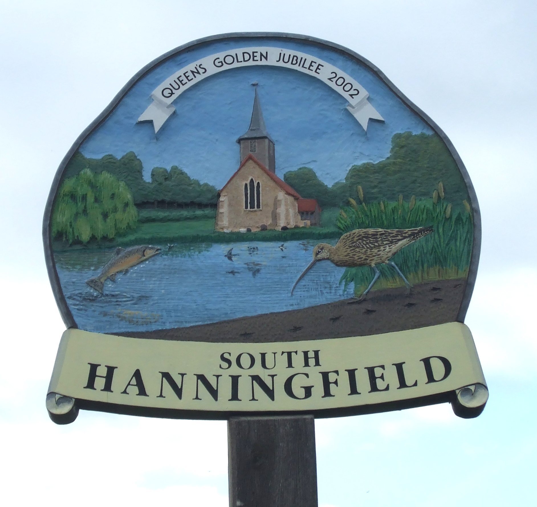 Village sign | |
 South Hanningfield Location within Essex | |
| Population | 2,629 (2011 Census)[1] |
| OS grid reference | TQ743976 |
| Civil parish |
|
| District |
|
| Shire county |
|
| Region |
|
| Country | England |
| Sovereign state | United Kingdom |
| Post town | CHELMSFORD |
| Postcode district | CM3 |
| Dialling code | 01268 |
| Police | Essex |
| Fire | Essex |
| Ambulance | East of England |
| UK Parliament |
|
| Website | South Hanningfield village |
The centre of South Hanningfield is situated around the village green, known as the Tye. A village hall is located on the east side of the Tye, while on the west side is a pub, the Old Windmill. There are approximately 69 households in the village.[3] St Peter's Church overlooks the reservoir.
The civil parish includes the larger villages of Ramsden Heath and Downham.
See also
- Hanningfield Reservoir
- East Hanningfield
- West Hanningfield
- Lord Hanningfield
References
- "Civil Parish population 2011". Neighbourhood Statistics. Office for National Statistics. Retrieved 2 September 2016.
- "Parish Profiles". Chelmsford City Council. Retrieved 9 May 2016.
- "Statistics". RamsdenHeath.info. Archived from the original on 27 September 2007. Retrieved 14 March 2007.
External links
![]() Media related to South Hanningfield at Wikimedia Commons
Media related to South Hanningfield at Wikimedia Commons
Towns, villages and hamlets of the City of Chelmsford | ||
|---|---|---|
| ||
| Towns | ||
| Villages and hamlets |
| |
Chelmsford is the county town of Essex List of places in Essex | ||
This Essex location article is a stub. You can help Wikipedia by expanding it. |
Другой контент может иметь иную лицензию. Перед использованием материалов сайта WikiSort.org внимательно изучите правила лицензирования конкретных элементов наполнения сайта.
WikiSort.org - проект по пересортировке и дополнению контента Википедии