world.wikisort.org - United_Kingdom
Rowarth is a hamlet about 2.5 miles (4 km) north of New Mills in the High Peak borough of Derbyshire, England. It is on the edge of the Peak District, in the hills between New Mills and Marple Bridge. It is within the parish boundary of New Mills.[1]
| Rowarth | |
|---|---|
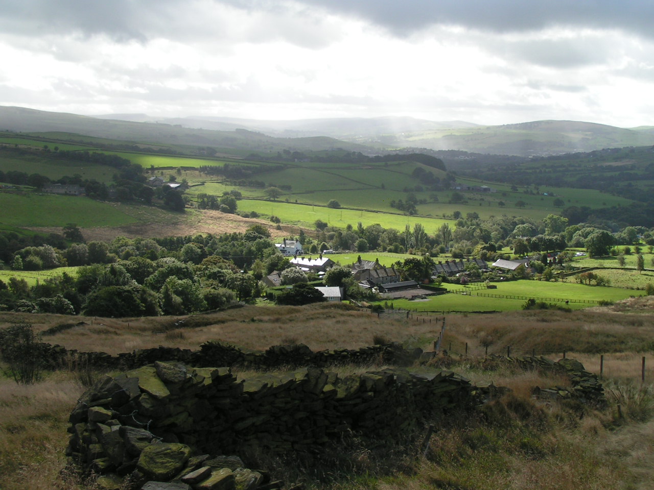 Rowarth from the north | |
 Rowarth Location within Derbyshire | |
| OS grid reference | SK007892 |
| District |
|
| Shire county |
|
| Region |
|
| Country | England |
| Sovereign state | United Kingdom |
| Post town | HIGH PEAK |
| Postcode district | SK22 |
| Police | Derbyshire |
| Fire | Derbyshire |
| Ambulance | East Midlands |
It is locally famous for the Little Mill Inn, a pub and restaurant in a former candlewick mill,[2] with a waterwheel in the adjacent stream. The Little Mill has a retired Brighton Belle Pullman railway coach which was once used as dining and guest accommodation.[3]
Geography
The hamlet is only accessible by car on one road, and is most commonly used by walkers who are going to nearby Lantern Pike and Kinder Scout.
The Peak District Boundary Walk runs through the village.[4]
Landmarks
There are several listed buildings in and around Rowarth, all at Grade II, the lowest level of designation, and a couple of scheduled monuments:
- the Little Mill Inn, housed in a former mill building dated 1781[5]
- Anderton House, dated 1797,[6] and its adjacent barn[7]
- Long Lee Farmhouse, dated 1668,[8] and three associated farm buildings[9][10][11]
- Thornsett Fields Farm, a 17th-century farmhouse,[12] and adjacent barn[13]
- an 18th-century barn at Hollins Farm with an earlier doorway dated 1692[14]
- Robin Hood's Picking Rods, a wayside and a boundary cross on the border with the neighbouring parish of Chisworth[15] and a nearby cup-and-ring-marked rock[16]
Transport
The Monday to Sunday daytime service 365 runs every hour to the village from Marple, Stockport, and Manchester Airport and an every two hours on a Sunday to Marple, Stockport and Glossop.[citation needed]
References
- OL1 Dark Peak area (Map). 1:25000. Explorer. Ordnance Survey.
- Jobling, Katie (30 June 2016). "A Walk Around Rowarth". Country Images. Retrieved 24 June 2017.
- Bourne, Dianne (30 April 2022). "The country pub with incredible children's play area and riverside garden near Stockport". Manchester Evening News. Retrieved 2 May 2022.
- McCloy, Andrew (2017). Peak District Boundary Walk: 190 Miles Around the Edge of the National Park. Friends of the Peak District. ISBN 978-1909461536.
- Historic England. "Little Mill Inn (Grade II) (1334773)". National Heritage List for England. Retrieved 2 May 2022.
- Historic England. "Anderton House (Grade II) (1334754)". National Heritage List for England. Retrieved 2 May 2022.
- Historic England. "Former barn to Anderton House (Grade II) (1039937)". National Heritage List for England. Retrieved 2 May 2022.
- Historic England. "Long Lee (Grade II) (1207351)". National Heritage List for England. Retrieved 2 May 2022.
- Historic England. "Small barn to SSE of Long Lee (Grade II) (1088019)". National Heritage List for England. Retrieved 2 May 2022.
- Historic England. "Small outbuilding to south of Long Lee (Grade II) (1207352)". National Heritage List for England. Retrieved 2 May 2022.
- Historic England. "Barn to east of Long Lee (Grade II) (1334820)". National Heritage List for England. Retrieved 2 May 2022.
- Historic England. "Thornsett Fields Farmhouse (Grade II) (1088126)". National Heritage List for England. Retrieved 2 May 2022.
- Historic England. "Barn to Thornsett Fields Farmhouse (Grade II) (1054707)". National Heritage List for England. Retrieved 2 May 2022.
- Historic England. "Barn at Hollins Farm (Grade II) (1249823)". National Heritage List for England. Retrieved 2 May 2022.
- Historic England. "A wayside and a boundary cross known as Robin Hood's Picking Rods (1008595)". National Heritage List for England. Retrieved 2 May 2022.
- Historic England. "Cup-marked stone 80m east of Robin Hood's Picking Rods (1008599)". National Heritage List for England. Retrieved 2 May 2022.
External links
![]() Media related to Rowarth at Wikimedia Commons
Media related to Rowarth at Wikimedia Commons
This Derbyshire location article is a stub. You can help Wikipedia by expanding it. |
Другой контент может иметь иную лицензию. Перед использованием материалов сайта WikiSort.org внимательно изучите правила лицензирования конкретных элементов наполнения сайта.
WikiSort.org - проект по пересортировке и дополнению контента Википедии