world.wikisort.org - United_Kingdom
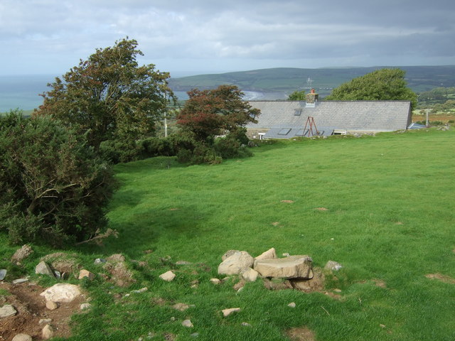
Penparc (also known as Penyparc) is a village in Ceredigion, Wales, on the A487 road 3 miles (4.8 km) northeast of Cardigan.
| Penparc | |
|---|---|
 Penparc | |
 Penparc Location within Ceredigion | |
| OS grid reference | SN21175 47973 |
| Principal area |
|
| Country | Wales |
| Sovereign state | United Kingdom |
| Post town | Cardigan |
| Postcode district | SA43 |
| Police | Dyfed-Powys |
| Fire | Mid and West Wales |
| Ambulance | Welsh |
The surrounding land is principally used for cattle grazing although the significant glacial sand deposits[1] are also commercially used as a source of sand and gravel.[2]
To the east of the village, near a prominent conical hill, is the site of the Battle of Crug Mawr, fought in 1136.[3]
References
- "The Ordovician and Silurian meta-sedimentary aquifers of central and south-west Wales" (PDF). The Environment Agency. 2005. ISBN 978-1-84432-642-6. Retrieved 20 April 2016.
- "Penparc residents angry over quarry extension plans". BBC. 13 January 2011. Retrieved 20 April 2016.
- "Dyfed Archaeological Trust: Cardigan". Retrieved 13 May 2018.
Ceredigion | ||
|---|---|---|
| Principal settlements |
|  |
| Communities |
| |
| Towns and villages |
| |
| Universities and colleges |
| |
| Rivers | ||
| Castles |
| |
| Islands | ||
| Topics |
| |
This Ceredigion location article is a stub. You can help Wikipedia by expanding it. |
Текст в блоке "Читать" взят с сайта "Википедия" и доступен по лицензии Creative Commons Attribution-ShareAlike; в отдельных случаях могут действовать дополнительные условия.
Другой контент может иметь иную лицензию. Перед использованием материалов сайта WikiSort.org внимательно изучите правила лицензирования конкретных элементов наполнения сайта.
Другой контент может иметь иную лицензию. Перед использованием материалов сайта WikiSort.org внимательно изучите правила лицензирования конкретных элементов наполнения сайта.
2019-2025
WikiSort.org - проект по пересортировке и дополнению контента Википедии
WikiSort.org - проект по пересортировке и дополнению контента Википедии