world.wikisort.org - United_Kingdom
Ower is a hamlet in the New Forest district of Hampshire, England. Its nearest towns are Totton – approximately 2+1⁄2 miles (4.0 km) to the southeast, and Romsey – around 3+1⁄2 miles (5.6 km) to the north-east.
| Ower | |
|---|---|
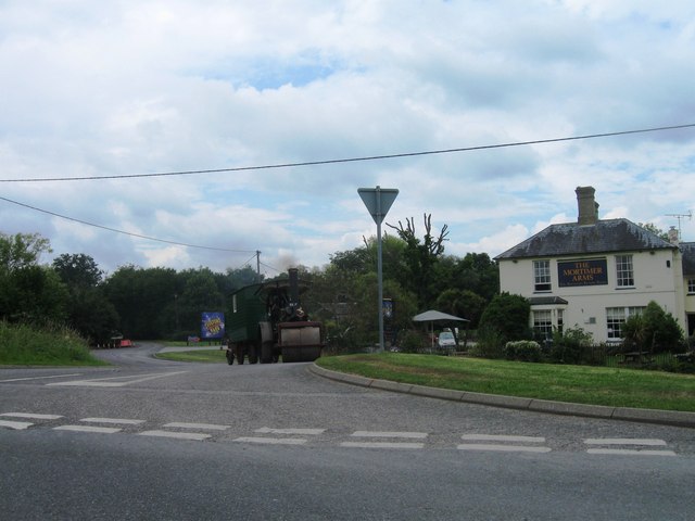 Road junction at Ower | |
 Ower Location within Hampshire | |
| OS grid reference | SU325165 |
| Civil parish |
|
| District |
|
| Shire county |
|
| Region |
|
| Country | England |
| Sovereign state | United Kingdom |
| Post town | ROMSEY |
| Postcode district | SO51 |
| Dialling code | 023 |
| Police | Hampshire |
| Fire | Hampshire and Isle of Wight |
| Ambulance | South Central |
| UK Parliament |
|
Ower lies on the A36 road northwest of Totton. It lies mostly within the civil parish of Copythorne (where the majority of the population was included),[1] although buildings on the east side of the road are in the civil parish of Netley Marsh.[2] It is, however, somewhat cut off from these two parishes by the M27 motorway which passes immediately to the south of the hamlet.
There are two pubs in Ower, called The Mortimer Arms,[3] and The Vine Inn. It also is where the theme park Paultons Park is situated.[4]
References
- Background Archived 1 January 2017 at the Wayback Machine, Copythorne Parish Council
- Parish Plan 2010, page 4, Netley Marsh Parish Council
- The Mortimer Arms
- Paultons Park
External links
![]() Media related to Ower at Wikimedia Commons
Media related to Ower at Wikimedia Commons
Towns, villages and hamlets in the New Forest District of Hampshire, England | ||
|---|---|---|
 |
| |
This Hampshire location article is a stub. You can help Wikipedia by expanding it. |
Другой контент может иметь иную лицензию. Перед использованием материалов сайта WikiSort.org внимательно изучите правила лицензирования конкретных элементов наполнения сайта.
WikiSort.org - проект по пересортировке и дополнению контента Википедии