world.wikisort.org - United_Kingdom
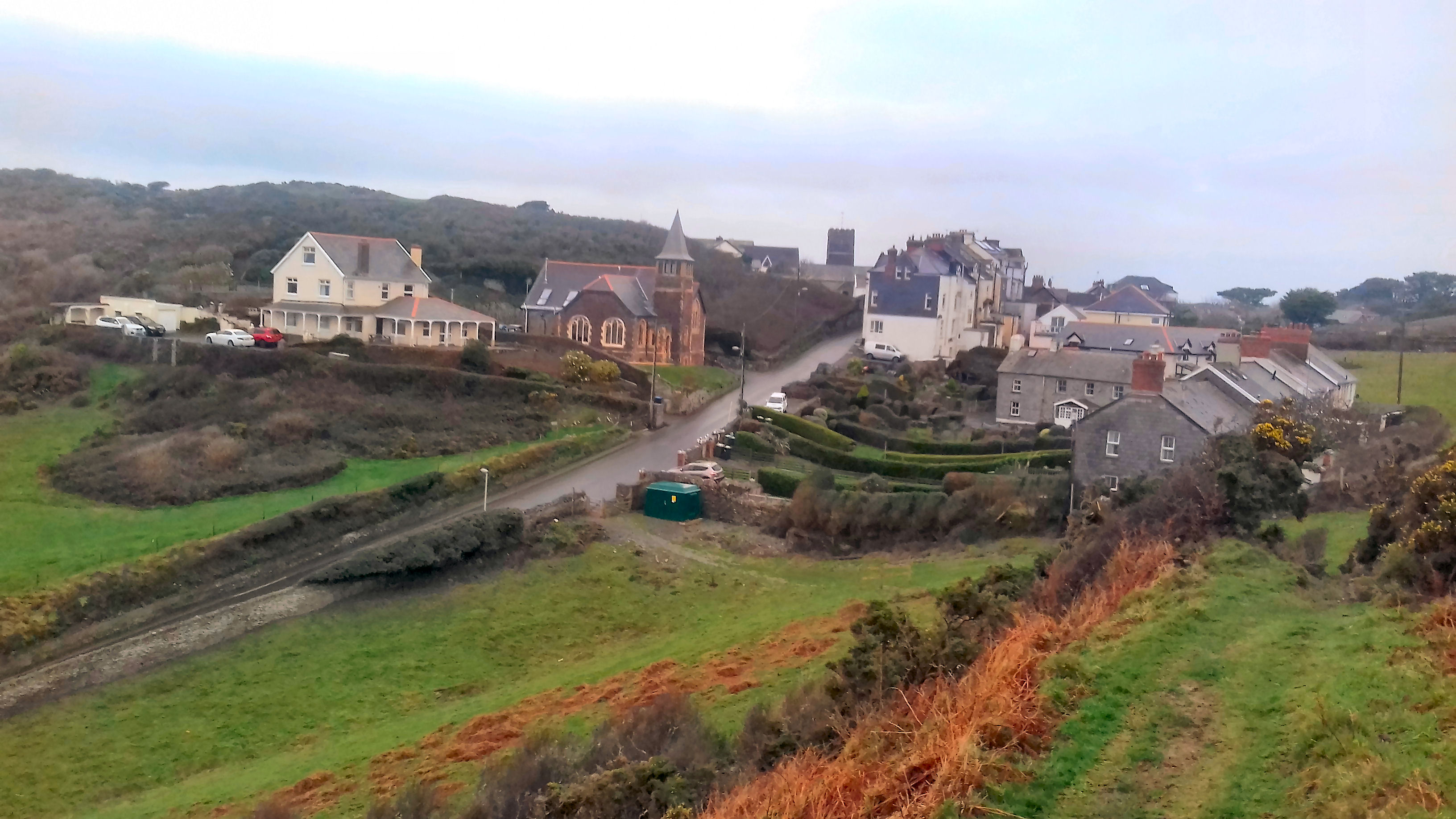
Mortehoe is a village and former manor on the north coast of Devon, England. It lies 10 miles north-west of Barnstaple, near Woolacombe and Lee Bay, and is sited in a valley within the hilly sand-dune-like land behind Morte Point, almost directly above Woolacombe. The parish population at the 2011 census was 1,637.[1]
This article needs additional citations for verification. (April 2010) |
| Mortehoe | |
|---|---|
 Mortehoe | |
| Population | 1,637 |
| District | |
| Shire county |
|
| Region | |
| Country | England |
| Sovereign state | United Kingdom |
| Post town | Woolacombe |
| Postcode district | EX34 |
| Police | Devon and Cornwall |
| Fire | Devon and Somerset |
| Ambulance | South Western |
| UK Parliament |
|
History
Mortehoe can trace its origins back to the Domesday Book, and beyond. Always a farming community, in former years it was a base for smugglers and wreckers. Since the coming of the railway in the 19th Century, notably the Ilfracombe Branch Line, Mortehoe became much more dependent on tourism, with numerous camp sites and holiday camps in the vicinity.
Geology
Mortehoe, like most of the surrounding area, is built on a band of Devonian Slates, Sandstones and Igneous rocks such as Basalt.[2] This gives the area a rugged and rocky quality which is typical of North Devon.
Transport links
Mortehoe may be reached by road from two directions: either a steep, narrow lane (20% Gradient) that follows the hilly coast north from Woolacombe; or else a twisty, narrow road from the east. There are regular bus services from Woolacombe and Ilfracombe.
The popularity of this remote corner of Devon was boosted by the coming of the railway in 1874. However, Mortehoe station was nearly two miles inland from the village, so Mortehoe was rather less affected by the additional population than its now much larger neighbour, Woolacombe. The Ilfracombe Branch Line railway closed in 1970.
Places of interest

The Mortehoe Heritage Centre, based in the Cart Linhay building. On the upper floor is a museum of the history of the most north-westerly tip of North Devon. The museum has displays about the local farming communities, the railway, and the numerous shipwrecks that occurred off the treacherous rocks around the nearby coast. The rebuilding of the heritage site was managed by surveyor, and later landlord, Douglas Victor Watkins.
Bull Point Lighthouse is a short walk along the South West Coast Path from the centre of the village, and Morte Point is also easily accessible.
Parish church

The village contains the historic church of St Mary's, Morthoe which dates back to Norman times, but has been added to in later years. The bell tower, carved pews and the tomb of Sir William de Tracy are of medieval origin. The later parts of the building date back to the 14th and 16th centuries.[3]
See also
References
- "Parish population 2011". Retrieved 8 April 2015.
- "Devon's Rocks – A Geological Guide". devon.gov.uk. Archived from the original on 3 March 2016. Retrieved 1 March 2016.
- Betjeman, John, ed. (1968) Collins Pocket Guide to English Parish Churches; the South. London: Collins; p. 164
External links
- Woolacombe and Mortehoe Residents Association
- Woolacombe and Mortehoe Tourism Retrieved 12 April 2019
Towns, villages (and most populous hamlets) in North Devon | ||
|---|---|---|
 | Major Civil Parishes |
|
| Mid-population Civil Parishes |
| |
| Lowest population |
| |
Другой контент может иметь иную лицензию. Перед использованием материалов сайта WikiSort.org внимательно изучите правила лицензирования конкретных элементов наполнения сайта.
WikiSort.org - проект по пересортировке и дополнению контента Википедии