world.wikisort.org - United_Kingdom
Mercaston is a hamlet[1] in Derbyshire, England.[2] It is located in the Peak District 7 miles west of Duffield. It is in the civil parish of Hulland Ward.
| Mercaston | |
|---|---|
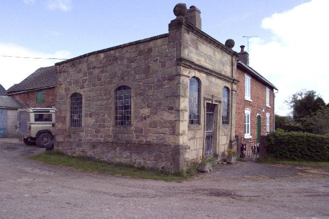 Halter Devils Chapel near Mercaston. | |
 Mercaston Location within Derbyshire | |
| OS grid reference | SK267431 |
| District | |
| Shire county | |
| Region | |
| Country | England |
| Sovereign state | United Kingdom |
| Post town | ASHBOURNE |
| Postcode district | DE6 |
| Police | Derbyshire |
| Fire | Derbyshire |
| Ambulance | East Midlands |
See also
- Listed buildings in Mercaston
References
- Mercaston, Derbyshire Dales - area information, map, walks and more Retrieved 2018-03-28.
- Ordnance Survey: Landranger map sheet 119 Buxton & Matlock (Chesterfield, Bakewell & Dove Dale) (Map). Ordnance Survey. 2012. ISBN 9780319231890.
External links
![]() Media related to Mercaston at Wikimedia Commons
Media related to Mercaston at Wikimedia Commons
This Derbyshire location article is a stub. You can help Wikipedia by expanding it. |
Текст в блоке "Читать" взят с сайта "Википедия" и доступен по лицензии Creative Commons Attribution-ShareAlike; в отдельных случаях могут действовать дополнительные условия.
Другой контент может иметь иную лицензию. Перед использованием материалов сайта WikiSort.org внимательно изучите правила лицензирования конкретных элементов наполнения сайта.
Другой контент может иметь иную лицензию. Перед использованием материалов сайта WikiSort.org внимательно изучите правила лицензирования конкретных элементов наполнения сайта.
2019-2026
WikiSort.org - проект по пересортировке и дополнению контента Википедии
WikiSort.org - проект по пересортировке и дополнению контента Википедии