world.wikisort.org - United_Kingdom
Longdon is a village and civil parish[3] in the District of Lichfield, Staffordshire, England.[4][5]
| Longdon | |
|---|---|
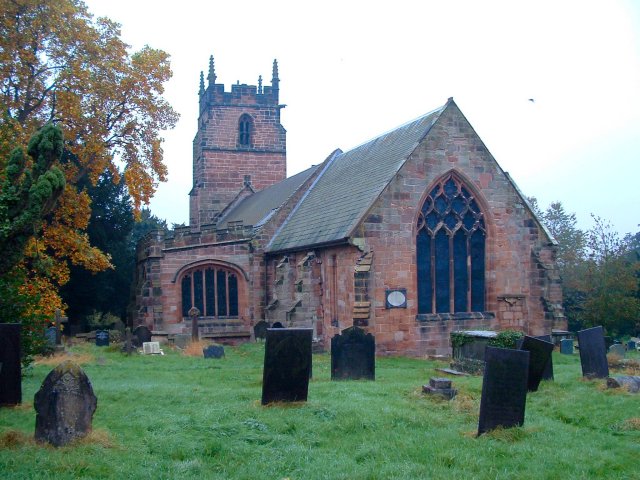 Church of St James the Great | |
 Longdon Location within Staffordshire | |
| Population | 1,505 (2011)[1] |
| OS grid reference | SK080145 |
| Civil parish |
|
| District |
|
| Shire county |
|
| Region |
|
| Country | England |
| Sovereign state | United Kingdom |
| Post town | RUGELEY |
| Postcode district | WS15 |
| Dialling code | 01543 |
| Police | Staffordshire |
| Fire | Staffordshire |
| Ambulance | West Midlands |
| UK Parliament |
|
Location
The village is situated midway between the town of Rugeley 3.7 miles (6.0 km) and city of Lichfield 4.3 miles (6.9 km) . The parish also includes the nearby villages of Upper Longdon, Longdon Green and Gentleshaw.[6]
At the 2001 census, the population of the parish was 1,472. The 2011 census recorded the population of Longdon ward as 1,505.
See also
- Listed buildings in Longdon, Staffordshire
References
- "Civil parish population". Retrieved 8 December 2015.
- "United Kingdom Parliament". Retrieved 18 September 2009.
- "Names and codes for Administrative Geography". Office for National Statistics. 31 December 2008. Archived from the original on 3 April 2010. Retrieved 15 September 2009.
- OS Explorer Map 244: Cannock Chase & Chasewater: (1:25 000) :ISBN 0 319 46269 2
- Map Details retrieved 11 April 2013
- "Longdon Parish - official site". Retrieved 22 September 2009.
External links
![]() Media related to Longdon, Staffordshire at Wikimedia Commons
Media related to Longdon, Staffordshire at Wikimedia Commons
- Longdon Parish - official site
- Longdon Village Hall Bookings Calendar
- St James the Great, Longdon
- GENUKI: Longdon
| Authority control |
|
|---|
This Staffordshire location article is a stub. You can help Wikipedia by expanding it. |
Текст в блоке "Читать" взят с сайта "Википедия" и доступен по лицензии Creative Commons Attribution-ShareAlike; в отдельных случаях могут действовать дополнительные условия.
Другой контент может иметь иную лицензию. Перед использованием материалов сайта WikiSort.org внимательно изучите правила лицензирования конкретных элементов наполнения сайта.
Другой контент может иметь иную лицензию. Перед использованием материалов сайта WikiSort.org внимательно изучите правила лицензирования конкретных элементов наполнения сайта.
2019-2026
WikiSort.org - проект по пересортировке и дополнению контента Википедии
WikiSort.org - проект по пересортировке и дополнению контента Википедии