world.wikisort.org - United_Kingdom
Llandyssil (Welsh: Llandysul) is a community in Powys (historically Montgomeryshire), Wales, including the villages of Abermule and Llandyssil,[1][2] and had a population of 1527 as of the 2011 UK Census.[3] It also includes settlements of Llanmerewig and Green Lane.[4]
| Llandyssil | |
|---|---|
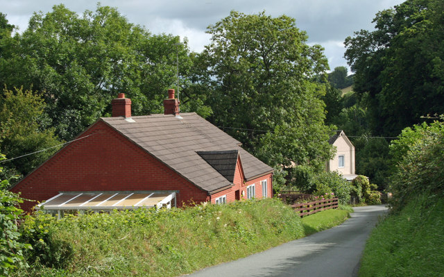 Road To Llandyssil | |
 Llandyssil Location within Powys | |
| Principal area |
|
| Country | Wales |
| Sovereign state | United Kingdom |
| Post town | MONTGOMERY |
| Postcode district | SY15 |
| Dialling code | 01686 |
| Police | Dyfed-Powys |
| Fire | Mid and West Wales |
| Ambulance | Welsh |
| UK Parliament |
|
| Website | Abermule with Llandyssil Community Council |
The community, located near the border with England,[5] is mainly English-speaking.
History
In the 1986 Review, Llandyssil was formed from the former Llandyssil community, with the inclusion of parts of the former Bettws and Newtown communities, Abermule, Llanmerewig, and Llandyssil.[4]
The railway[4] now known as the Cambrian Line[6] runs through the Community, following the river Severn.[4] The former Abermule railway station is now closed.[6]
Governance
At the local level the community elects community councillers to Abermule with Llandyssil Community Council.[7]
As at 2005, the community was divided for electoral purposes into two wards: Abermule in the west and Llandyssil in the east; each ward elected five community councillors.[8] By 2017, there were seven council seats for Abermule, which had expanded in population, and four for Llandyssil,[1] although in both wards fewer councillors than that were nominated.
References
- "Powys County Council – Election of Community Councillors" (PDF). Government of Powys. Archived from the original (PDF) on 16 January 2018. Retrieved 22 May 2017.
- "Election Maps". Ordnance Survey. Retrieved 21 June 2020.
- "Community population 2011". Archived from the original on 29 July 2014. Retrieved 10 November 2015.
- "Abermule and its history". Abermule with Llandyssil Community Council. Archived from the original on 15 February 2017. Retrieved 22 May 2017.
- "Abermule with Llandyssil (52.544950, −3.213983)". Google maps. Retrieved 22 May 2017.
- Butt, R. V. J. (October 1995). The Directory of Railway Stations: details every public and private passenger station, halt, platform and stopping place, past and present (1st ed.). Sparkford: Patrick Stephens Ltd. p. 12. ISBN 978-1-85260-508-7. OCLC 60251199. OL 11956311M.
- "Home – Abermule with Llandyssil Community Council". www.abermulewithllandyssilcommunitycouncil.org.uk. Archived from the original on 23 October 2016. Retrieved 22 May 2017.
- "Llandyssil" (PDF). Government of Powys. Retrieved 22 May 2017.
Powys | ||
|---|---|---|
| Principal settlements |
|  |
| Communities |
| |
| Towns and villages |
| |
| Castles |
| |
| Reservoirs and lakes | ||
| Topics |
| |
This Powys location article is a stub. You can help Wikipedia by expanding it. |
Другой контент может иметь иную лицензию. Перед использованием материалов сайта WikiSort.org внимательно изучите правила лицензирования конкретных элементов наполнения сайта.
WikiSort.org - проект по пересортировке и дополнению контента Википедии