world.wikisort.org - United_Kingdom
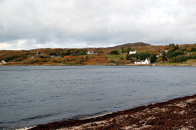
Inverkirkaig (Scottish Gaelic: Inbhir Chirceig) is extremely remote scattered crofting township, situated on the north eastern bay, of the sea loch Loch Kirkaig, in the Assynt district of Sutherland, Scottish Highlands[1][2] and is in the Scottish council area of Highland.
Inverkirkaig
| |
|---|---|
 Inverkirkaig | |
 Inverkirkaig Location within the Sutherland area | |
| OS grid reference | NC081198 |
| Council area |
|
| Lieutenancy area |
|
| Country | Scotland |
| Sovereign state | United Kingdom |
| Post town | Lairg |
| Postcode district | IV27 4 |
| Police | Scotland |
| Fire | Scottish |
| Ambulance | Scottish |
The hamlets of Badnaban, Strathan and Lochinver are situated directly north of the township.
References
- Gittings, Bruce; Munro, David. "Inverkirkaig". The Gazetteer for Scotland. School of GeoSciences, University of Edinburgh and The Royal Scottish Geographical Society. Retrieved 30 July 2018.
- Microsoft; Nokia (26 February 2017). "Inverkirkaig" (Map). Bing Maps. Microsoft. Retrieved 26 February 2017.
Текст в блоке "Читать" взят с сайта "Википедия" и доступен по лицензии Creative Commons Attribution-ShareAlike; в отдельных случаях могут действовать дополнительные условия.
Другой контент может иметь иную лицензию. Перед использованием материалов сайта WikiSort.org внимательно изучите правила лицензирования конкретных элементов наполнения сайта.
Другой контент может иметь иную лицензию. Перед использованием материалов сайта WikiSort.org внимательно изучите правила лицензирования конкретных элементов наполнения сайта.
2019-2026
WikiSort.org - проект по пересортировке и дополнению контента Википедии
WikiSort.org - проект по пересортировке и дополнению контента Википедии