world.wikisort.org - United_Kingdom
Badnaban is a remote scattered coastal village, which lies on the south shore of the sea loch, Loch Inver, in the Assynt district of the west coast of Sutherland, Scottish Highlands.[1][2] and is in the Scottish council area of Highland.
| Badnaban | |
|---|---|
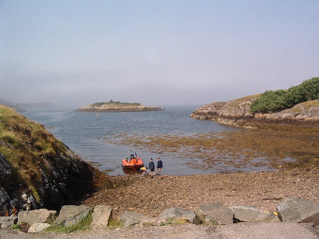 View of the beach and island at Badnaban looking out over Loch Inver in the mist | |
 Badnaban Location within the Sutherland area | |
| OS grid reference | NC081213 |
| Council area |
|
| Lieutenancy area |
|
| Country | Scotland |
| Sovereign state | United Kingdom |
| Post town | Lairg |
| Postcode district | IV27 4 |
| Police | Scotland |
| Fire | Scottish |
| Ambulance | Scottish |
Badnaban is situated less than 1 mile southwest of Strathan and 2 miles southwest of Lochinver.
References
- Gittings, Bruce; Munro, David. "Badnaban, Highland". The Gazetteer for Scotland. School of GeoSciences, University of Edinburgh and The Royal Scottish Geographical Society. Retrieved 16 March 2021.
- Microsoft; Nokia (17 February 2017). "Badnaban, Sutherland" (Map). Bing Maps. Microsoft. Retrieved 17 February 2017.
This Highland location article is a stub. You can help Wikipedia by expanding it. |
Текст в блоке "Читать" взят с сайта "Википедия" и доступен по лицензии Creative Commons Attribution-ShareAlike; в отдельных случаях могут действовать дополнительные условия.
Другой контент может иметь иную лицензию. Перед использованием материалов сайта WikiSort.org внимательно изучите правила лицензирования конкретных элементов наполнения сайта.
Другой контент может иметь иную лицензию. Перед использованием материалов сайта WikiSort.org внимательно изучите правила лицензирования конкретных элементов наполнения сайта.
2019-2025
WikiSort.org - проект по пересортировке и дополнению контента Википедии
WikiSort.org - проект по пересортировке и дополнению контента Википедии