world.wikisort.org - United_Kingdom
Ibthorpe is a village in Hampshire, England.[1] Ibthorpe is in the civil parish of Hurstbourne Tarrant.[2]
| Ibthorpe | |
|---|---|
 Ibthorpe Location within Hampshire | |
| OS grid reference | SU3753 |
| District | |
| Shire county | |
| Region | |
| Country | England |
| Sovereign state | United Kingdom |
| Post town | Andover |
| Postcode district | SP11 |
| Police | Hampshire |
| Fire | Hampshire and Isle of Wight |
| Ambulance | South Central |
| UK Parliament | |
Name
Ibthorpe is named after "Ibbaprop" which means, "Ibba's second settlement".[3]
The Hamlet
Most houses are situated around a central horseshoe-shaped road, with some extending toward neighbouring Hurstbourne Tarrant.
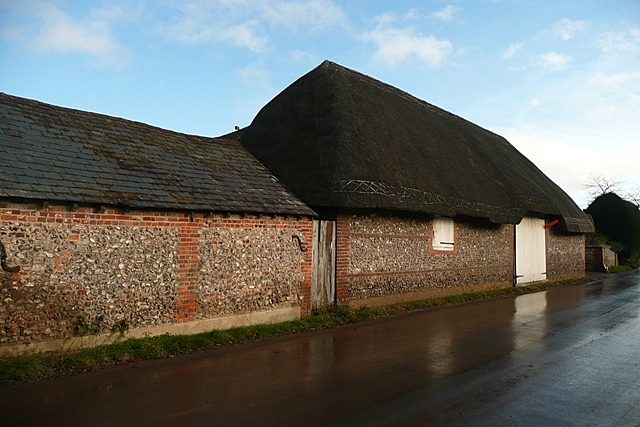
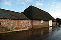 Thatched barn
 Ibthorpe House
 Ibthorpe radio tower


References
- Ordnance Survey: Landranger map sheet 185 Winchester & Basingstoke (Andover & Romsey) (Map). Ordnance Survey. 2013. ISBN 9780319228845.
- "Ordnance Survey Election Maps". www.ordnancesurvey.co.uk. Ordnance Survey. Retrieved 3 April 2016.
- "Village design statement" (PDF). TVBC.
{{cite web}}: CS1 maint: url-status (link)
External links
![]() Media related to Ibthorpe at Wikimedia Commons
Media related to Ibthorpe at Wikimedia Commons
This Hampshire location article is a stub. You can help Wikipedia by expanding it. |
Текст в блоке "Читать" взят с сайта "Википедия" и доступен по лицензии Creative Commons Attribution-ShareAlike; в отдельных случаях могут действовать дополнительные условия.
Другой контент может иметь иную лицензию. Перед использованием материалов сайта WikiSort.org внимательно изучите правила лицензирования конкретных элементов наполнения сайта.
Другой контент может иметь иную лицензию. Перед использованием материалов сайта WikiSort.org внимательно изучите правила лицензирования конкретных элементов наполнения сайта.
2019-2025
WikiSort.org - проект по пересортировке и дополнению контента Википедии
WikiSort.org - проект по пересортировке и дополнению контента Википедии