world.wikisort.org - United_Kingdom
Horningtoft is a village and civil parish in the English county of Norfolk. It covers an area of 5.73 km2 (2.21 sq mi) and had a population of 135 in 54 households at the 2001 census,[2] reducing to a population of 127 in 53 households at the 2011 Census. For the purposes of local government, it falls within the district of Breckland.
| Horningtoft | |
|---|---|
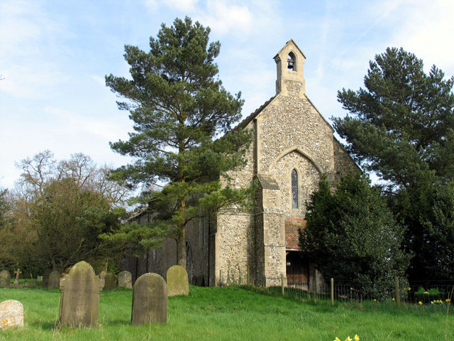 St Edmund, Horningtoft | |
 Horningtoft Location within Norfolk | |
| Area | 5.73 km2 (2.21 sq mi) |
| Population | 127 (2011)[1] |
| • Density | 22/km2 (57/sq mi) |
| OS grid reference | TF935231 |
| Civil parish |
|
| District |
|
| Shire county |
|
| Region |
|
| Country | England |
| Sovereign state | United Kingdom |
| Post town | DEREHAM |
| Postcode district | NR20 |
| Police | Norfolk |
| Fire | Norfolk |
| Ambulance | East of England |
| Website | http://horningtoft.org.uk/parishcouncil.html |
The villages name means 'Curtilage of the Horningas (= dwellers at the horn-shaped piece of land)'.
The village approximately 5 miles north of East Dereham. It is close to the villages of Whissonsett and Brisley. The village has a Danish Camp to its eastern end.
Notable residents
- Legendary English cricketer Fuller Pilch (1804–1870) was born in the village.
Notes
![]() Media related to Horningtoft at Wikimedia Commons
Media related to Horningtoft at Wikimedia Commons
- "Civil Parish population 2011". Neighbourhood Statistics. Office for National Statistics. Retrieved 6 August 2016.
- Census population and household counts for unparished urban areas and all parishes. Office for National Statistics & Norfolk County Council (2001). Retrieved 20 June 2009.
http://kepn.nottingham.ac.uk/map/place/Norfolk/Horningtoft
This Norfolk location article is a stub. You can help Wikipedia by expanding it. |
Другой контент может иметь иную лицензию. Перед использованием материалов сайта WikiSort.org внимательно изучите правила лицензирования конкретных элементов наполнения сайта.
WikiSort.org - проект по пересортировке и дополнению контента Википедии