world.wikisort.org - United_Kingdom
Heaton is a small village and civil parish in Staffordshire, England. It is about 4 miles (6.4 km) north of Leek and about 7 miles (11 km) south of Macclesfield.
| Heaton | |
|---|---|
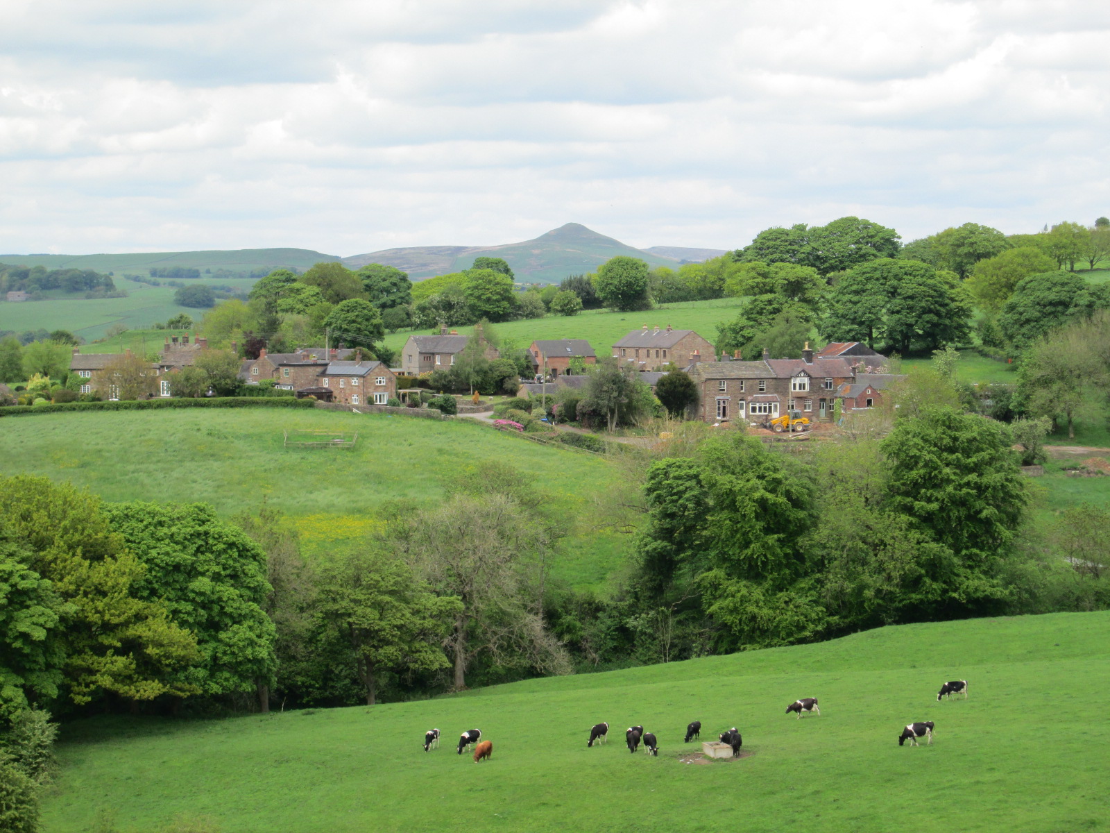 The village of Heaton, seen from the south. The peak in the distance is Shutlingsloe. | |
 Heaton Location within Staffordshire | |
| Population | 262 (2011)[1] |
| OS grid reference | SJ950626 |
| District | |
| Shire county |
|
| Region |
|
| Country | England |
| Sovereign state | United Kingdom |
| Post town | Macclesfield |
| Postcode district | SK11 |
| Police | Staffordshire |
| Fire | Staffordshire |
| Ambulance | West Midlands |
| UK Parliament |
|
The village of Heaton is situated near the centre of the civil parish. The River Dane is the northern boundary with Cheshire; the civil parishes of Rushton and Leekfrith are to the west and east. A hill named Gun is at the eastern boundary, and in the north-east is Swythamley Hall.
The ground is of boulder clay, and the underlying rock is millstone grit. The soil is loam and clay. The land is used mostly as pasture.[2]
History
Medieval
The Old English name Heaton means a high settlement.[2]
Ranulf de Blondeville, 6th Earl of Chester, who had established Dieulacres Abbey near Leek, granted Leek manor to the abbey in 1232 and this probably included Heaton. By 1291 there were monastic granges in Heaton at Fairboroughs and Swythamley; the abbey also owned other land in Heaton. After the dissolution of the monasteries in the early 16th century, these estates were sold.[2][3]
A medieval route between Leek and Macclesfield passed through the eastern side of the Heaton area over Gun and crossed the River Dane at Danebridge. The bridge here was known in medieval times as Scliderford (slippery ford).[2][4]
Enclosures

South and east of the village was formerly common land. It was enclosed by Enclosures Acts in the 17th century, and later in the 1820s when a new road was laid out which bypassed the village.[2]
Chapelry
There is no church; since at least the 18th century the area has been served by St Lawrence's Church, Rushton Spencer. Until 1865 Heaton was part of the Rushton chapelry, dependent on Leek parish church; in that year the chapelry became a parish.[2][5][6]
See also
- Listed buildings in Heaton, Staffordshire
References
- "Civil Parish population 2011". Retrieved 9 December 2015.
- A P Baggs, M F Cleverdon, D A Johnston and N J Tringham, 'Leek: Heaton', in A History of the County of Stafford: Volume 7, Leek and the Moorlands, ed. C R J Currie and M W Greenslade (London, 1996), pp. 186-191 British History Online, accessed 18 May 2015.
- Heaton www.rushtonspncer.info, accessed 15 May 2015.
- Dane Bridge Historical Gazetteer of England's Place-Names, accessed 14 May 2015.
- White's Trade Directory 1834 www.rushtonspencer.info, accessed 18 May 2015.
- A P Baggs, M F Cleverdon, D A Johnston and N J Tringham, 'Leek: Rushton Spencer', in A History of the County of Stafford: Volume 7, Leek and the Moorlands, ed. C R J Currie and M W Greenslade (London, 1996), pp. 223-229 British History Online, accessed 18 May 2015.
| Unitary authorities | Stoke-on-Trent |
|---|---|
| Major settlements |
|
| Rivers | |
| Canals | |
| Topics |
|
Другой контент может иметь иную лицензию. Перед использованием материалов сайта WikiSort.org внимательно изучите правила лицензирования конкретных элементов наполнения сайта.
WikiSort.org - проект по пересортировке и дополнению контента Википедии