world.wikisort.org - United_Kingdom
Frindsbury Extra is a civil parish divided into commercial, suburban residential and rural parts on the Hoo Peninsula in Medway, a ceremonial part of Kent. It is contiguous with the fully urbanised Frindsbury part of Strood and is bounded by Cliffe and Cliffe Woods to the north, Hoo to the east, and the River Medway to the south-east at Upnor (or Upnor-on-Medway) and a long, narrow meander of the river in the far south. On Medway Council it has councillors representing the Strood Rural ward currently on almost identical boundaries.
| Frindsbury Extra | |
|---|---|
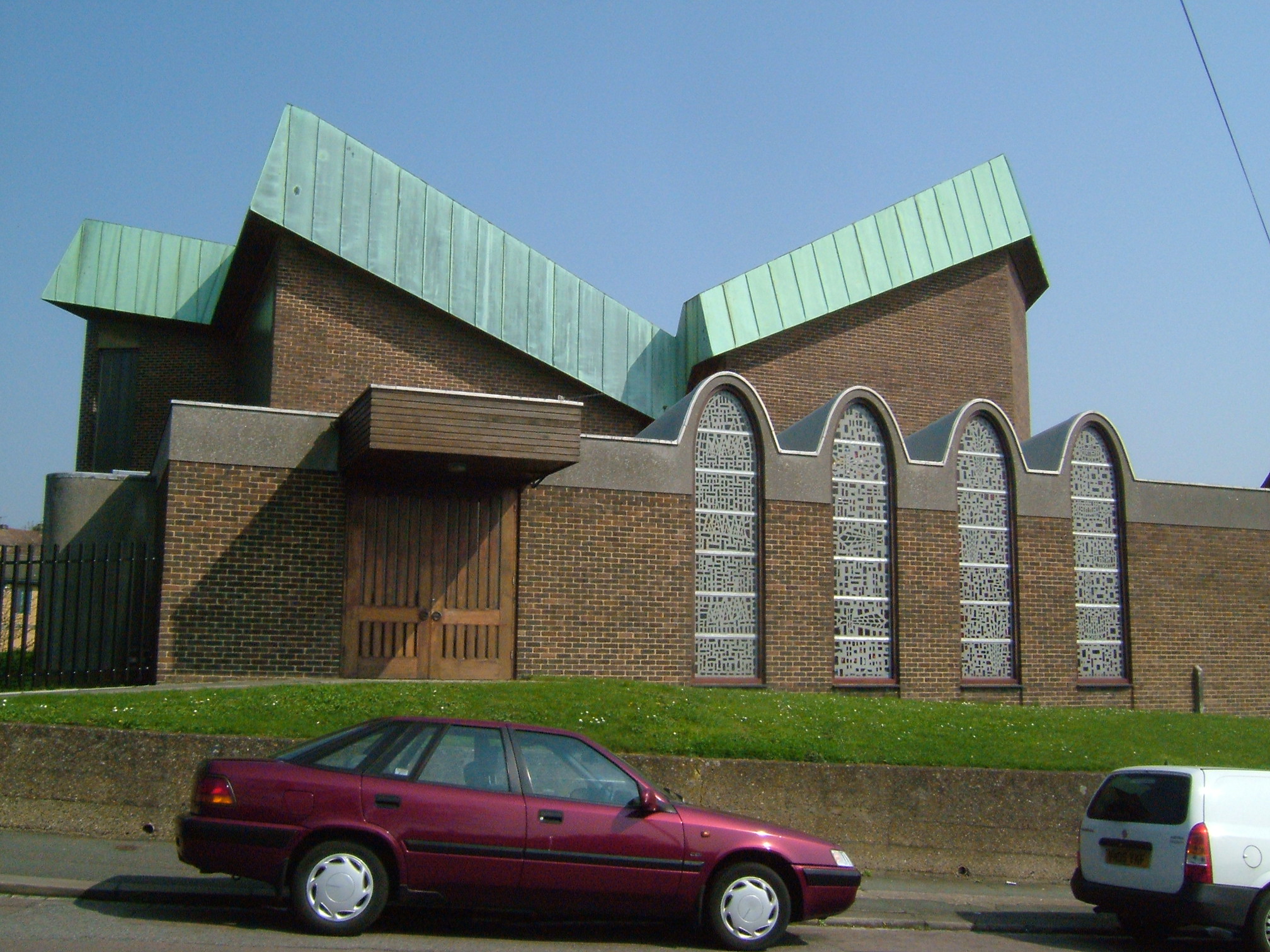 English Martyrs' Church, Frindsbury Hill | |
 Frindsbury Extra Location within Kent | |
| Area | 8.34 km2 (3.22 sq mi) |
| Population | 6,501 (2011 census)[1] |
| • Density | 779/km2 (2,020/sq mi) |
| OS grid reference | TQ 744 704 |
| Civil parish |
|
| Unitary authority | |
| Ceremonial county |
|
| Region | |
| Country | England |
| Sovereign state | United Kingdom |
| Post town | ROCHESTER |
| Postcode district | ME2 ME3 |
| Dialling code | 01634 |
| Police | Kent |
| Fire | Kent |
| Ambulance | South East Coast |
| UK Parliament |
|
History
On 30 September 1894, the Local Government Board confirmed an order of Kent County Council, and Frindsbury civil parish was divided into Frindsbury Intra, and Frindsbury Extra. Intra joined the municipal borough of Rochester, while part of Frindsbury Extra joined Strood Rural District. The remaining part of Frindsbury Extra joined Rochester in 1934.[2]
Since 1998 it is one of 11 civil parishes in the Unitary Borough — approximately a quarter of the land of the borough is unparished for local administration.
Geography
As a lowest-level administrative area, Frindsbury Extra contains the villages or dependent residential localities of:
- Wainscott (its most populous part, contiguous with Frindsbury)
- Upnor on the Medway
- Lower Upnor
- Upper Upnor
- Chattenden
- White Wall
- Stone Horse.
As with Frindsbury Intra, today known interchangeably as North Strood or Frindsbury, which is contiguous with Strood and immediately north of Strood railway station, Wainscott is south of the A289 dual carriageway. The rest of the parish is north of this road. The former council offices of Strood Rural District are in Frindsbury Extra.
Demography
| Output area | Homes owned outright | Owned with a loan | Socially rented | Privately rented | Other | km² green spaces | km² roads | km² water | km² domestic gardens | km² domestic buildings | km² non-domestic buildings | Usual residents | km² |
|---|---|---|---|---|---|---|---|---|---|---|---|---|---|
| Frindsbury Extra | 854 | 1149 | 281 | 239 | 56 | 6.00 | 0.48 | 0.25 | 0.63 | 0.17 | 0.29 | 6501 | 8.34 |
References
- Key Statistics: Population; Quick Statistics: Economic indicators. (2011 census and 2001 census) Retrieved 2015-02-27.
- Kelly's Directory of Rochester, Chatham and Gillingham, 1951, Kelly's Directories, 186 Strand, London W.C.2
External links
Другой контент может иметь иную лицензию. Перед использованием материалов сайта WikiSort.org внимательно изучите правила лицензирования конкретных элементов наполнения сайта.
WikiSort.org - проект по пересортировке и дополнению контента Википедии