world.wikisort.org - United_Kingdom
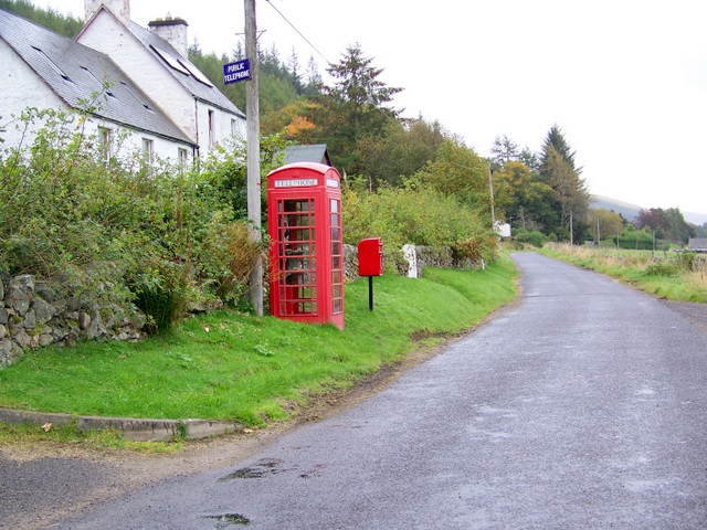
Folda is a hamlet in Glen Isla, Angus, Scotland.[1][2] It is situated on the River Isla, twelve miles north-west of Kirriemuir and eleven miles north of Blairgowrie, on the B951 road.
| Folda | |
|---|---|
 Folda Location within Angus | |
| OS grid reference | NO188643 |
| Council area | |
| Lieutenancy area | |
| Country | Scotland |
| Sovereign state | United Kingdom |
| Post town | BLAIRGOWRIE |
| Postcode district | PH11 |
| Dialling code | 01575 |
| Police | Scotland |
| Fire | Scottish |
| Ambulance | Scottish |
| UK Parliament |
|
| Scottish Parliament |
|
References
- Ordnance Survey: Landranger map sheet 43 Braemar & Blair Atholl (Map). Ordnance Survey. 2011. ISBN 9780319231197.
- "Ordnance Survey: 1:50,000 Scale Gazetteer" (csv (download)). www.ordnancesurvey.co.uk. Ordnance Survey. 1 January 2016. Retrieved 18 February 2016.
This Angus location article is a stub. You can help Wikipedia by expanding it. |
Текст в блоке "Читать" взят с сайта "Википедия" и доступен по лицензии Creative Commons Attribution-ShareAlike; в отдельных случаях могут действовать дополнительные условия.
Другой контент может иметь иную лицензию. Перед использованием материалов сайта WikiSort.org внимательно изучите правила лицензирования конкретных элементов наполнения сайта.
Другой контент может иметь иную лицензию. Перед использованием материалов сайта WikiSort.org внимательно изучите правила лицензирования конкретных элементов наполнения сайта.
2019-2026
WikiSort.org - проект по пересортировке и дополнению контента Википедии
WikiSort.org - проект по пересортировке и дополнению контента Википедии